 |
|
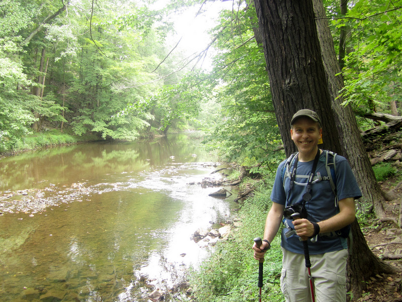
Earlier this month we hiked the western part of this park. Today we returned to hike a good part of the
Yellow trails in the eastern part, visiting the Hawk Watch (which was really just a quarry watch this morning) at the beginning, and Buttermilk Falls near the end.
We parked in the medium-sized lot at the western end of Miller Lane and took the paved Yellow to the Hawk Watch and meandered in nearly every direction covering the majority of Yellow trails using this map. Our track can be seen here. Total distance hiked today was about 4.5 miles in just under 3 hours. (Click on the thumbnail to bring up a bigger image in a pop-up window)
|
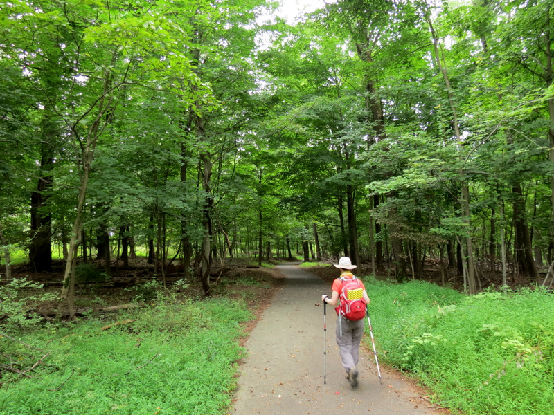 Heading west to ... |
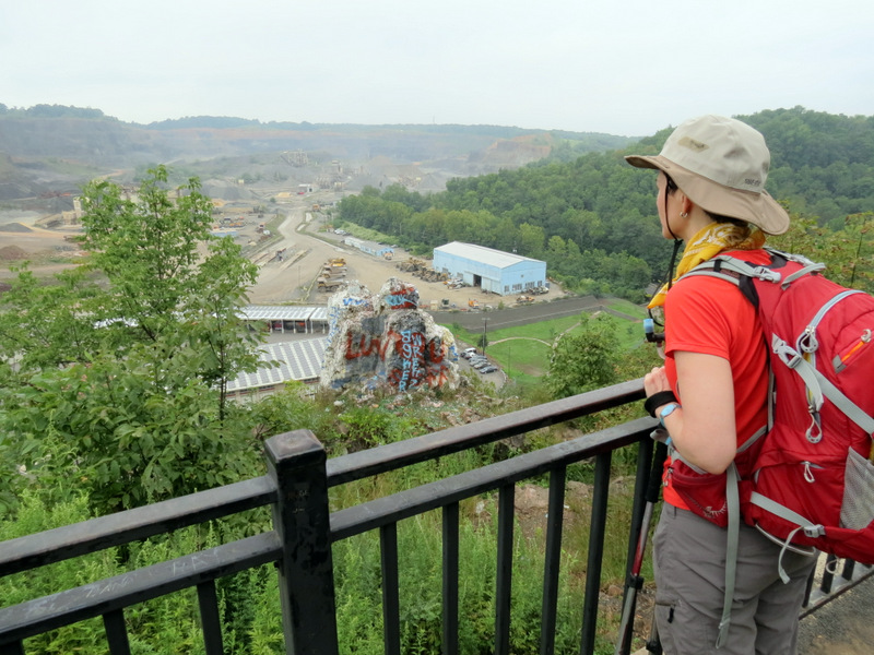
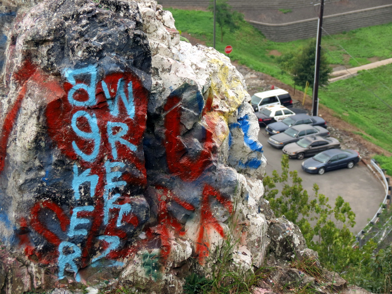
 ... the Hawk Watch ... |
 ... which overlooks ... |
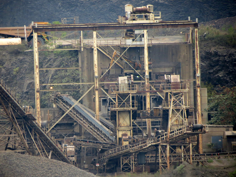
 ... an active quarry operation |
 View of ... |
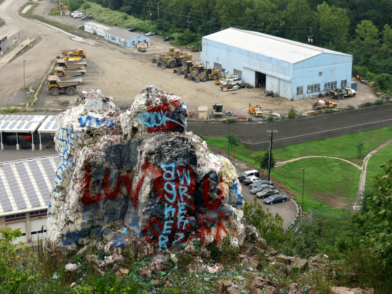 ... Chimney Rock |
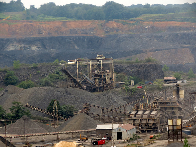 Zoom to quarry |
 Zoom to Chimney Rock |
 |
 Solar panels |
 Super zoom |
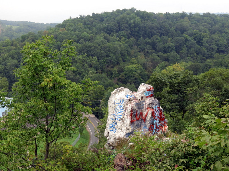 Chimney Rock |
 [Photo by Laura] |
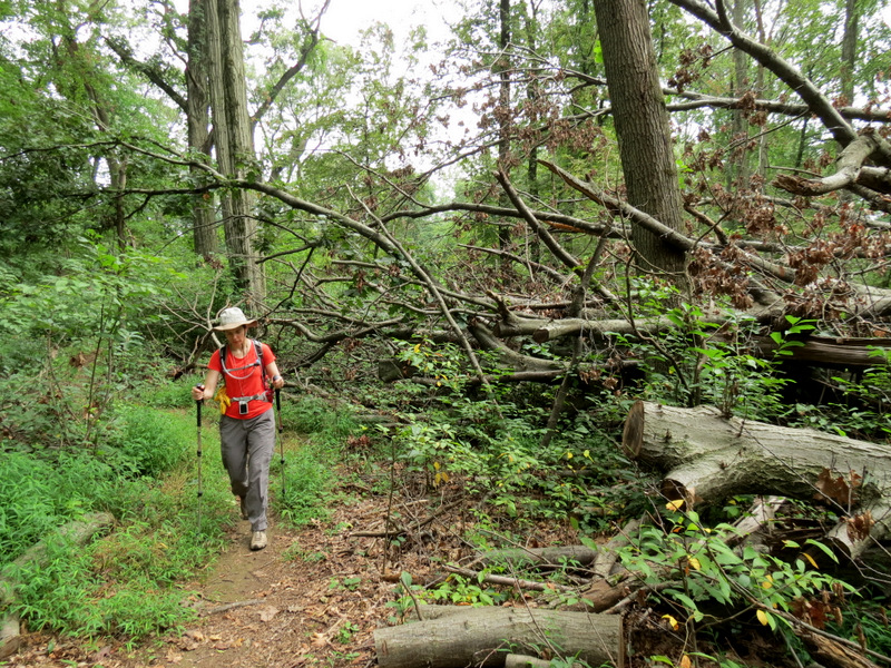
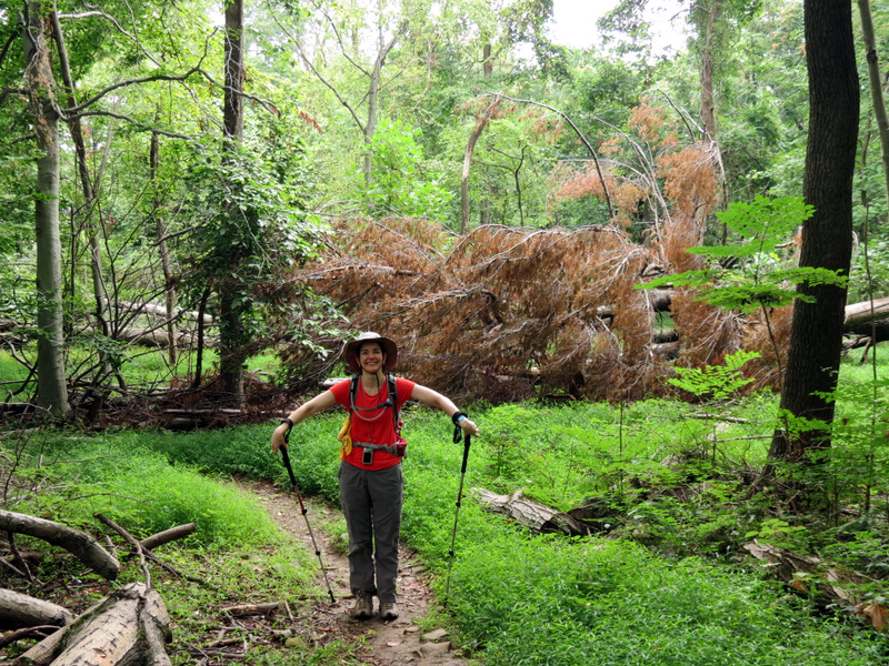
 Climbing on Yellow |
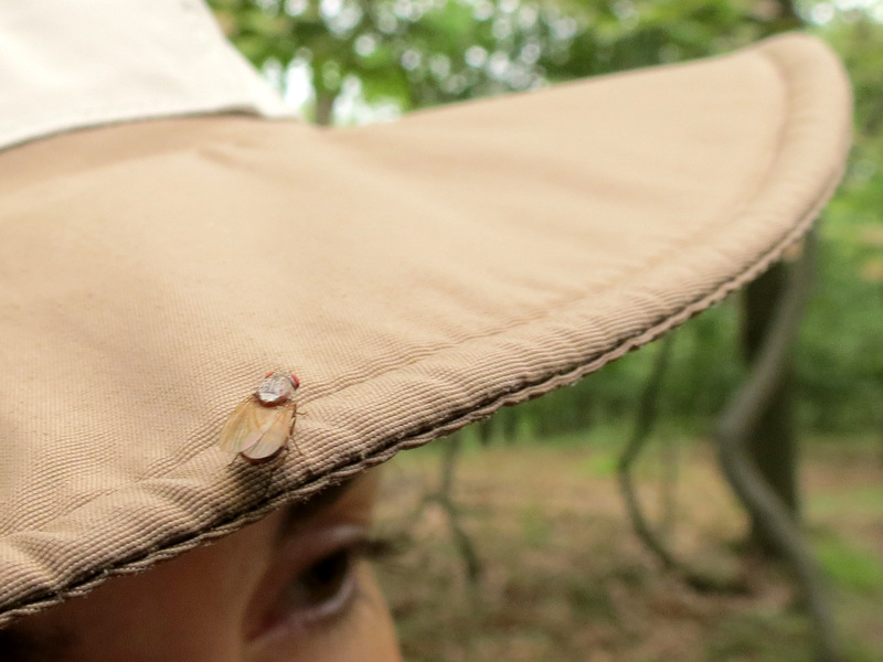 Hitching a ride |
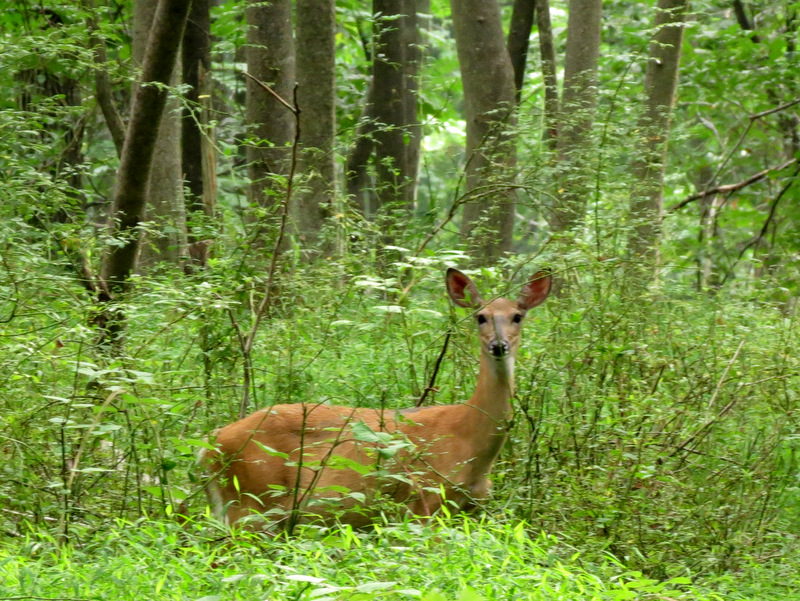
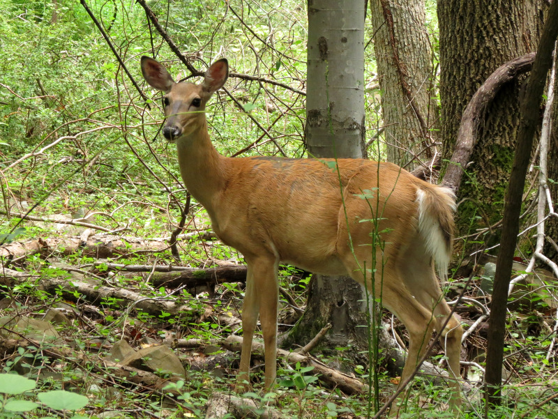
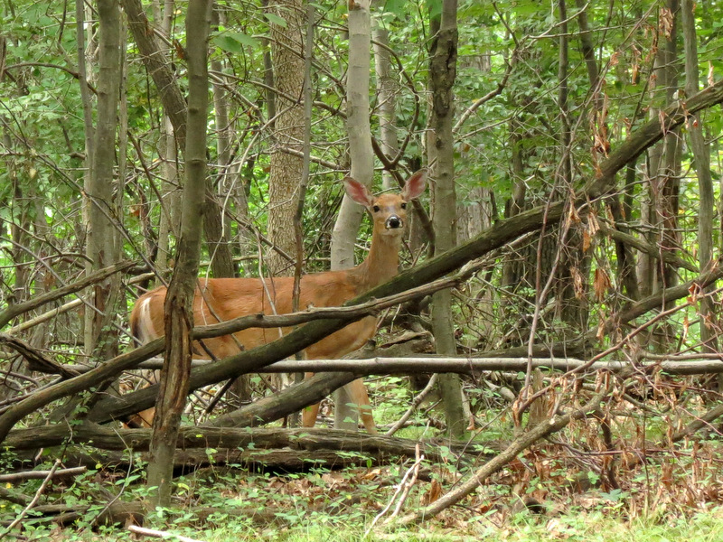 Curious deer |
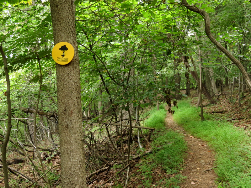
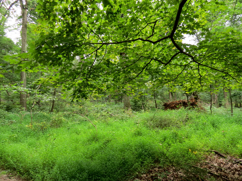
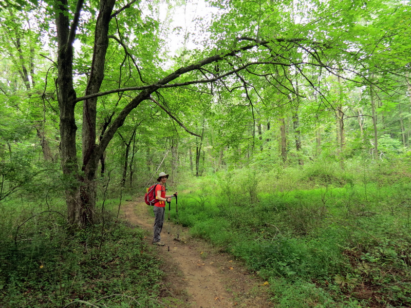
 Yellow ... |
 ... climbs ... |
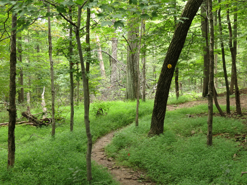 ... the mountain |
 |
 |
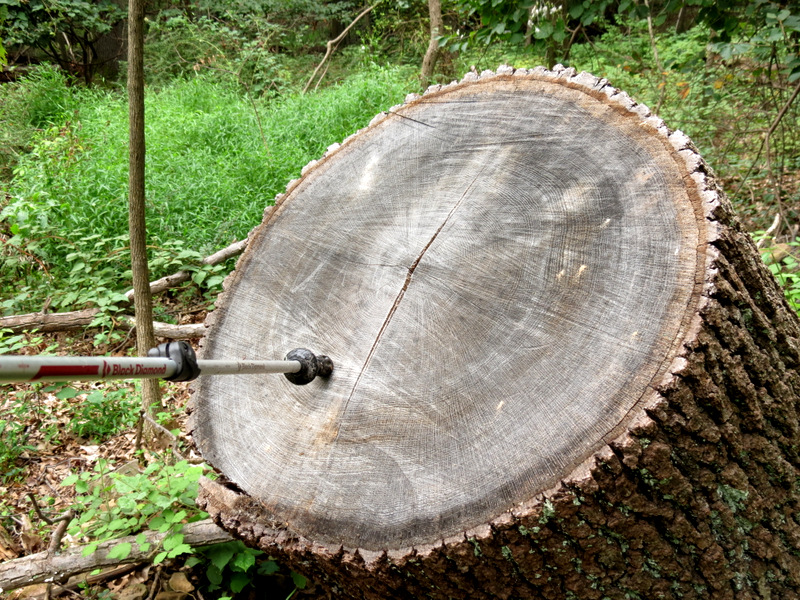 Tree rings |
 |
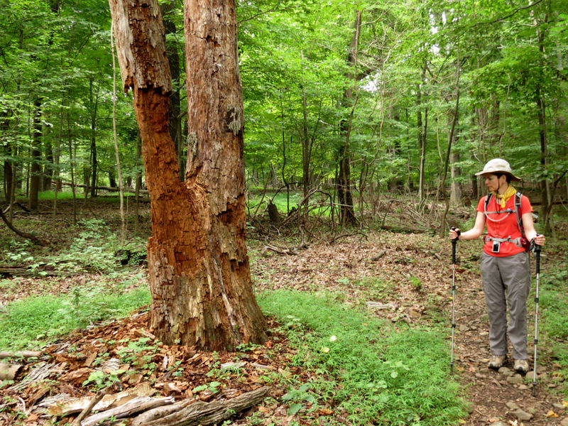
 Woodpecker |
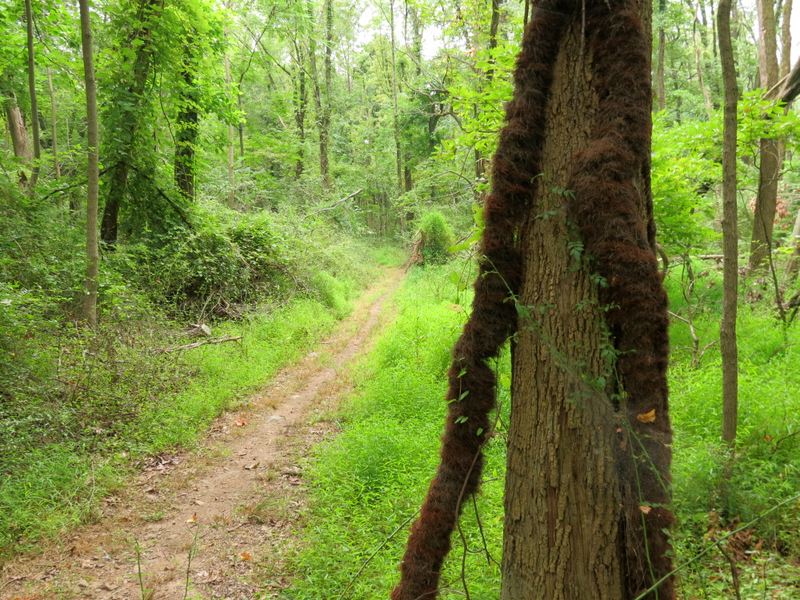
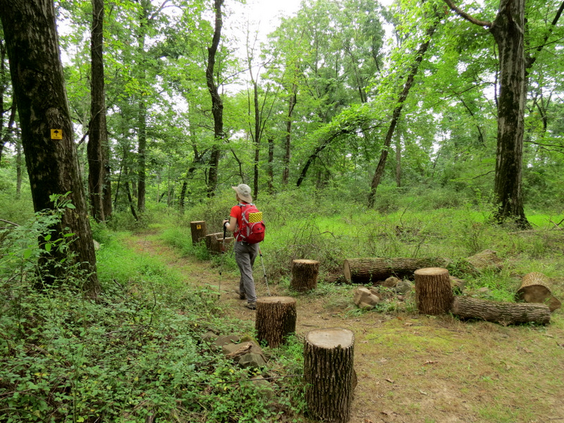
 Mine tailings line trail |
 Sandy damage? |
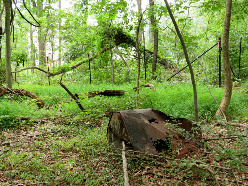 Remains from mine operation? |
 |
 |
 Another curious deer |
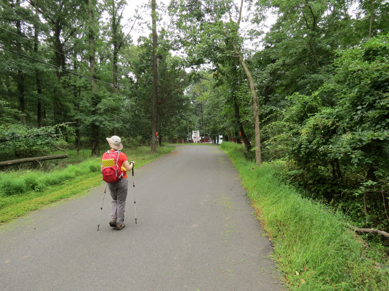
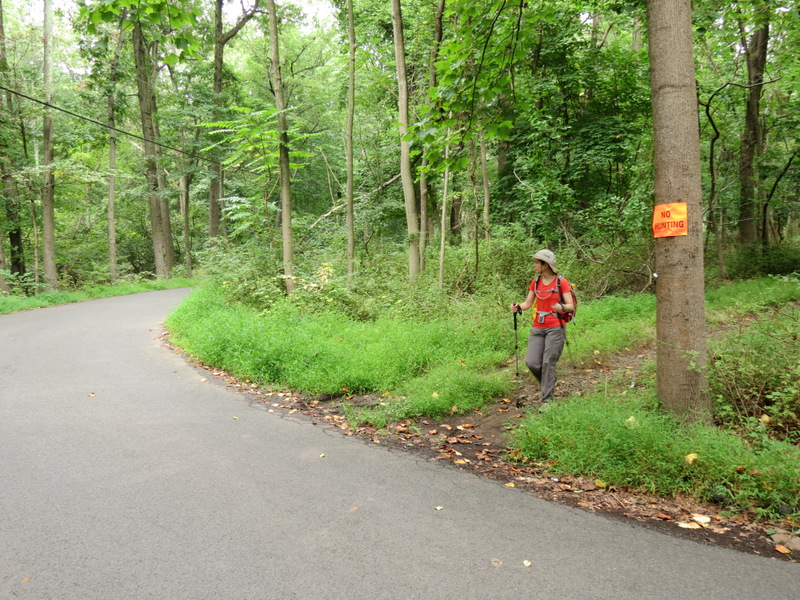 Crossing Miller Lane |
 Poison ivy "boa" |
 |
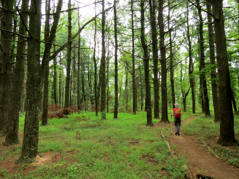 Area of pines |
 Resting place? |
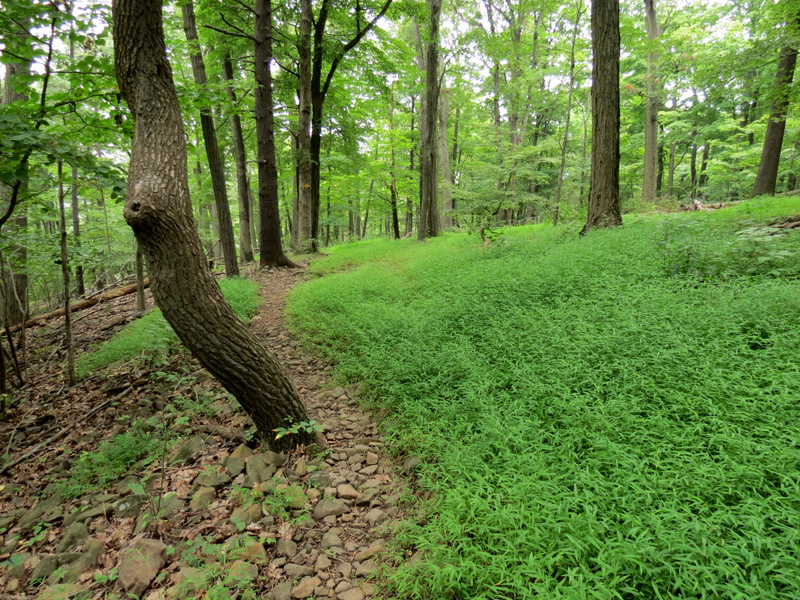
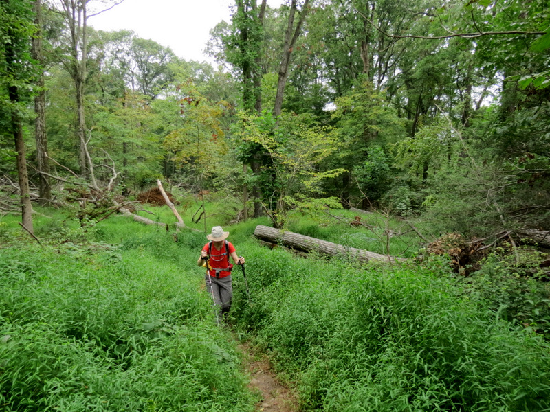
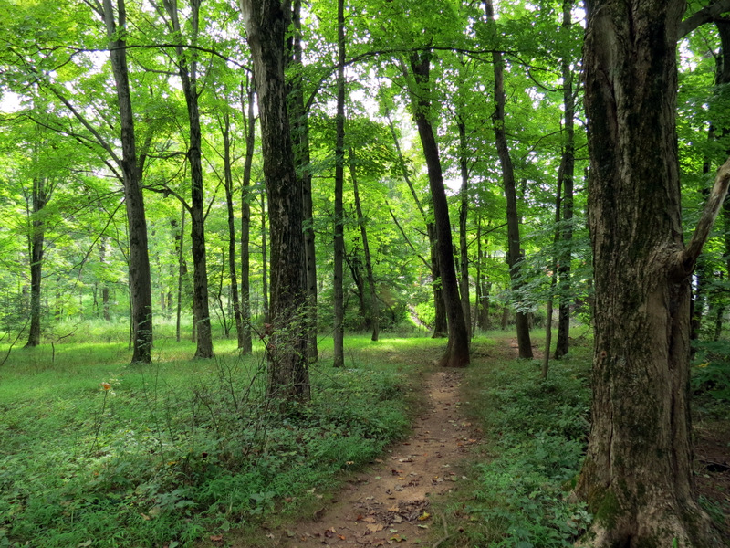
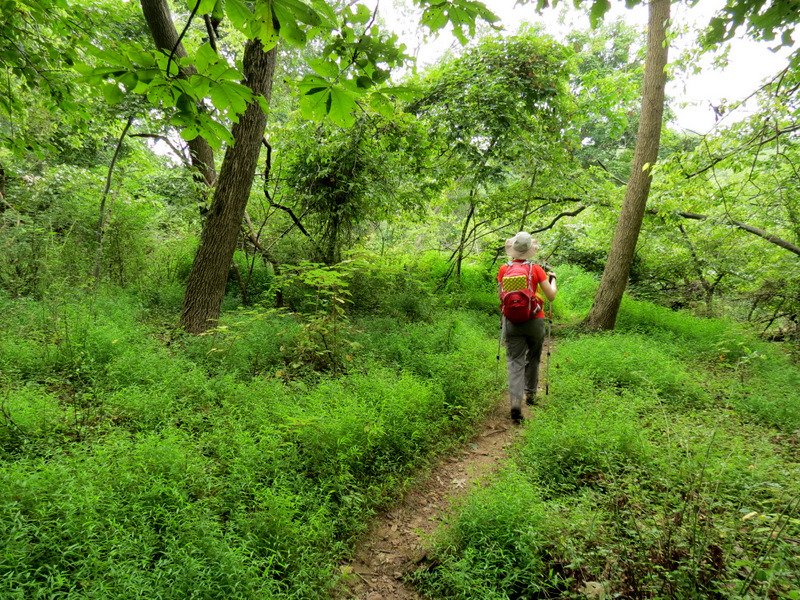 Path narrows |
 Turtleback-type rock |
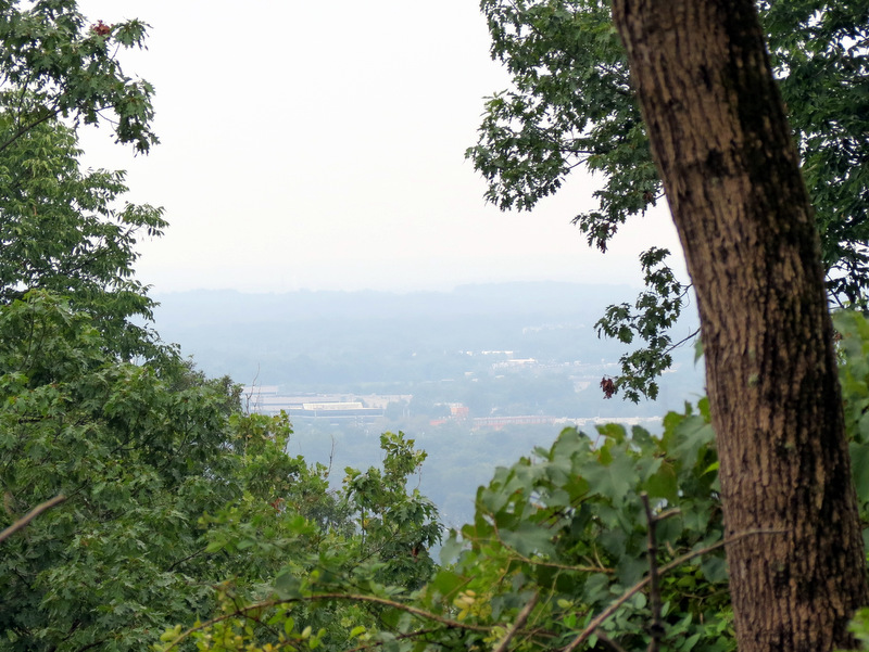 Partial view from Yellow |
 |
 Mine tailings |
 This deer let us ... |
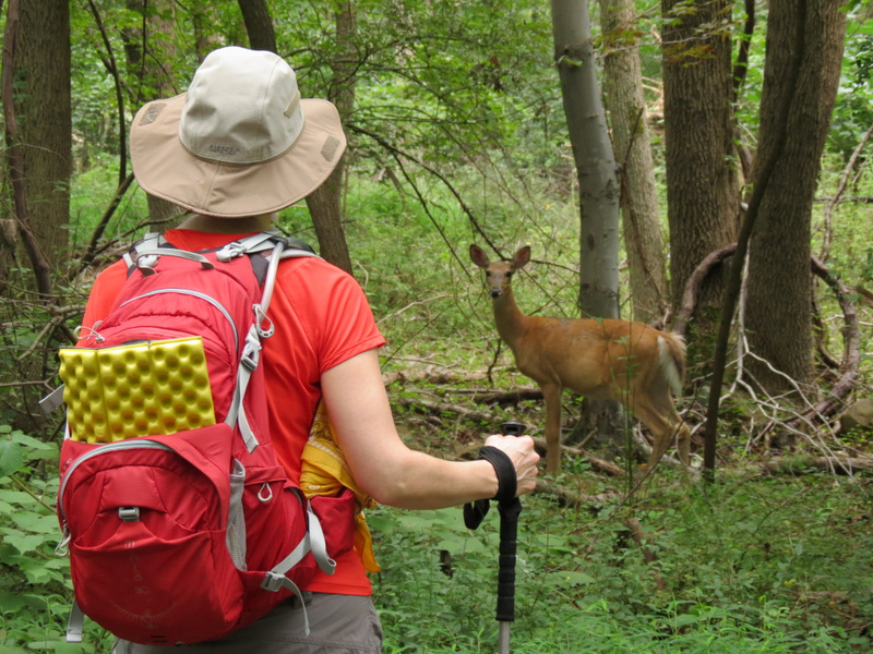 ... get very close |
 |
 Road to ... |
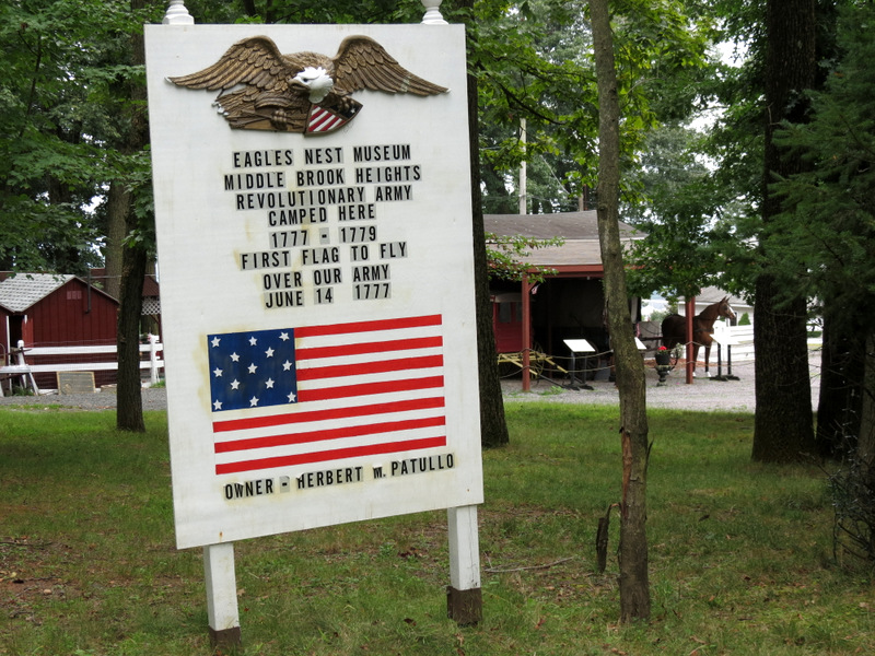 ... Eagle's Nest Museum |
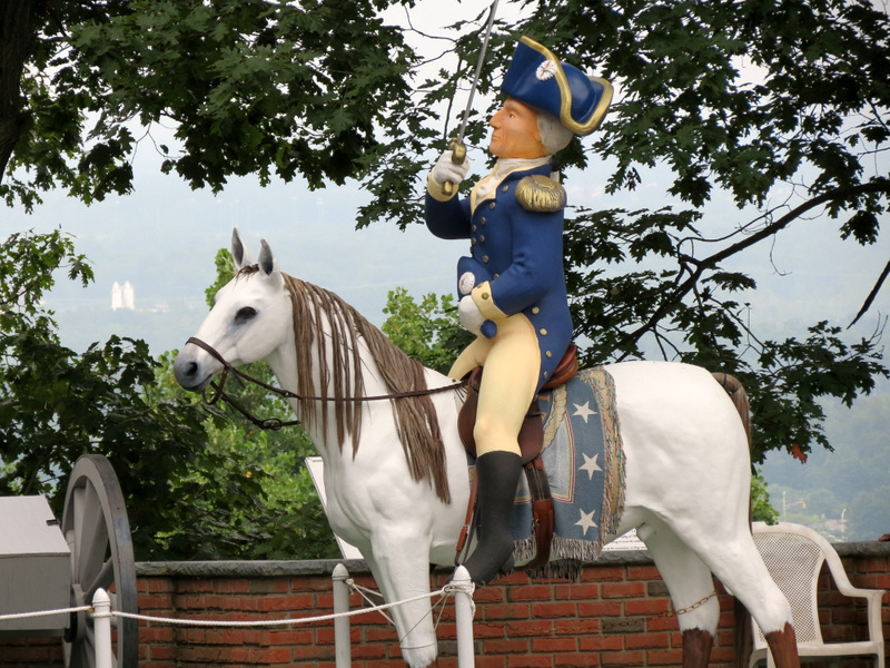 George Washington ... |
 ... camped here |
 Exhibits |
 |
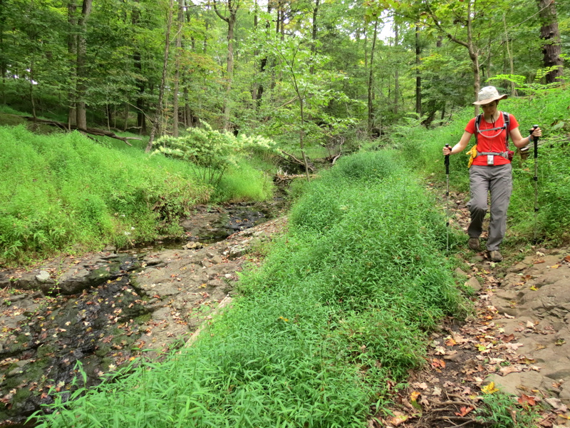 Trail parallels cascade |
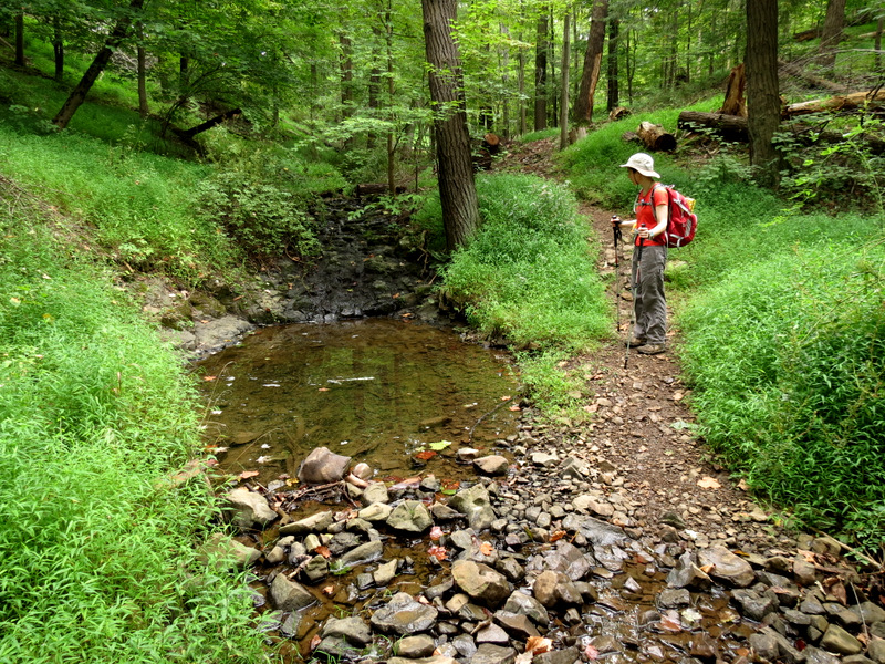 Small pool at bottom |
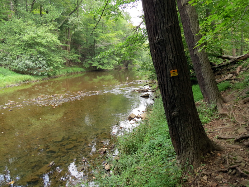
 Middle Brook |
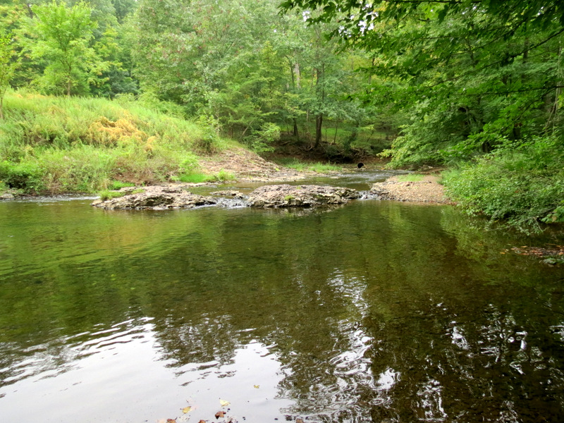 Middle Brook |
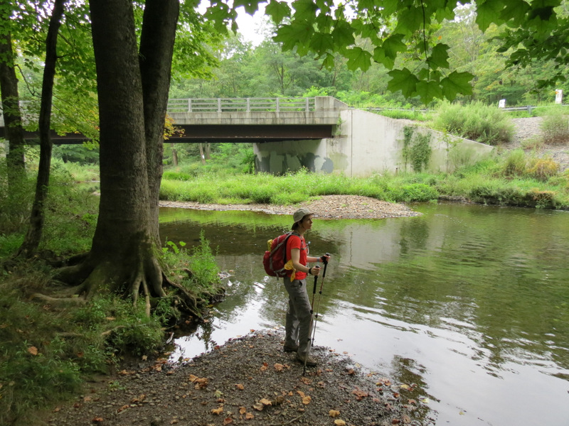
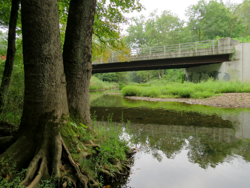 Gilbride Road bridge |
 Tranquil spot |
 Heading north a bit on "White" |
 |
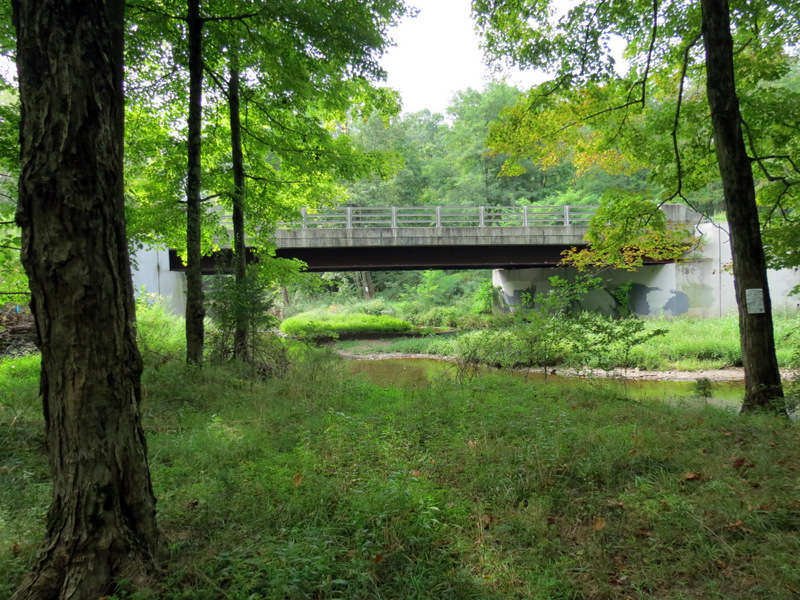 |
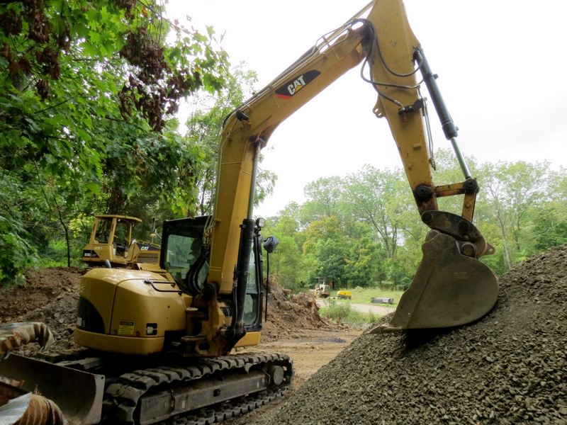 Construction on ... |
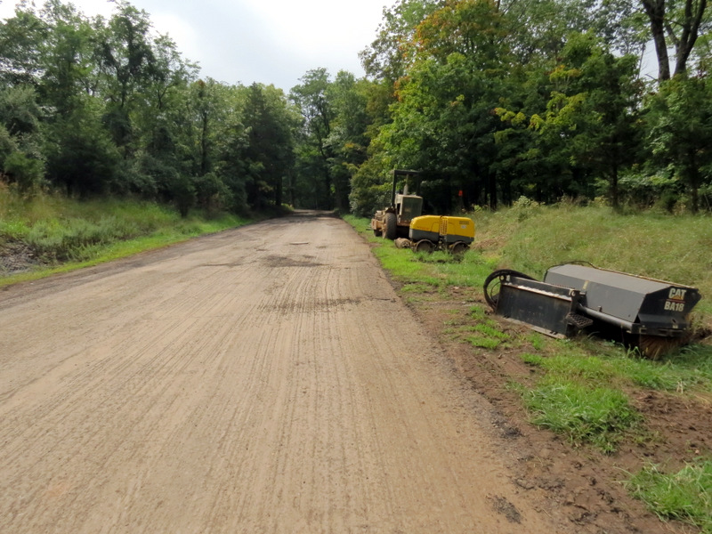 ... Gilbride Road |
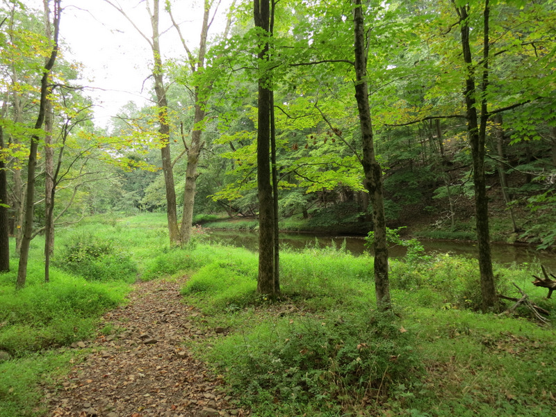
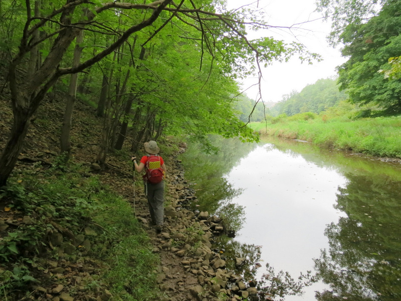
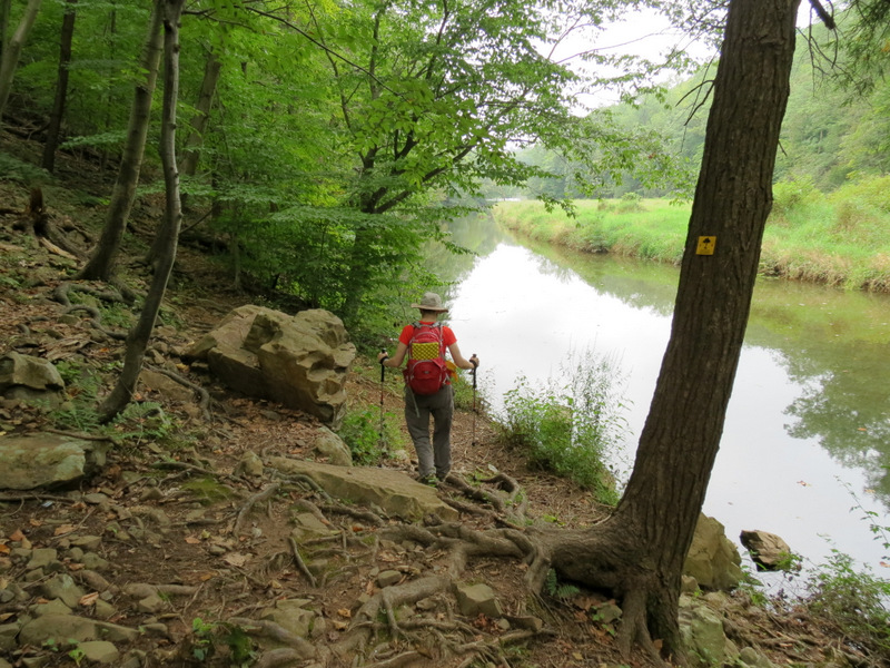
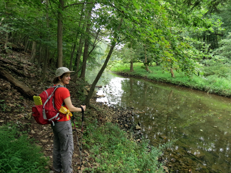 South on Yellow ... |
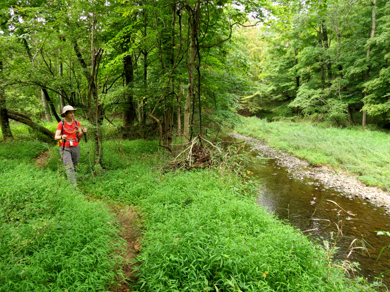
 ... along Middle Brook |
 [Photo by Laura] |
 |
 Heading south |
 |
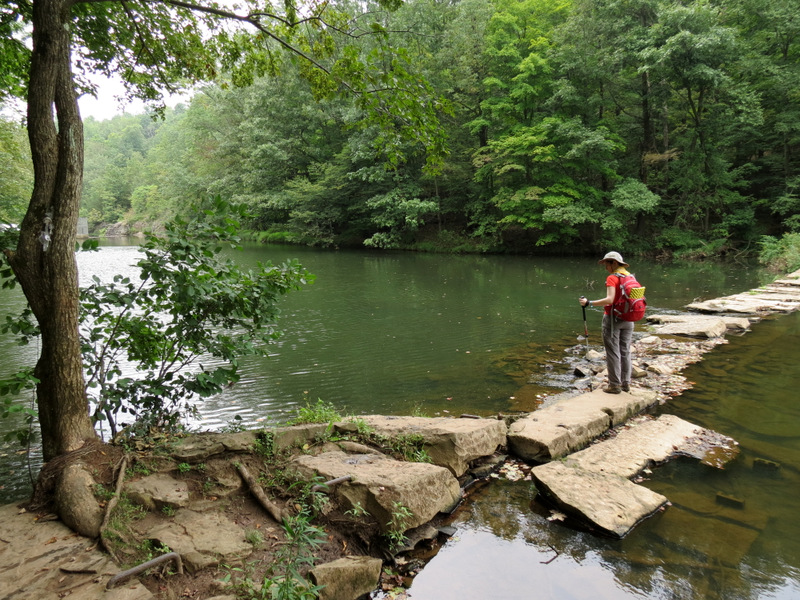 Stone crossing |
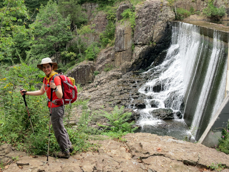
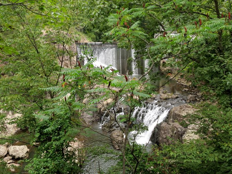
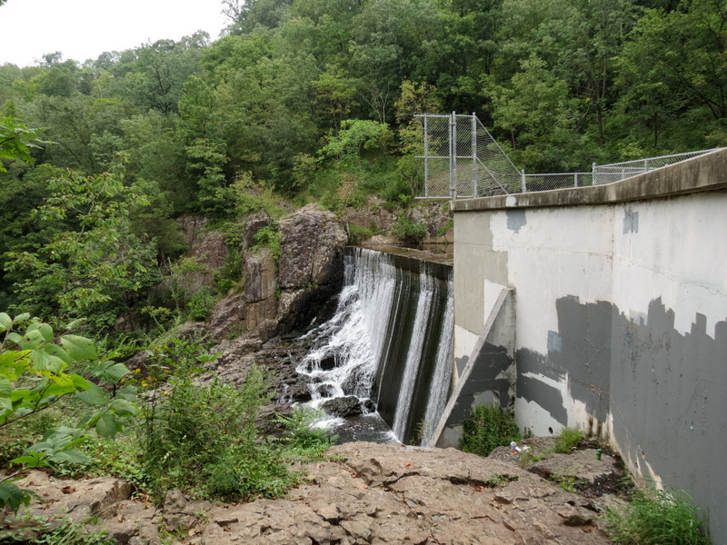 Dam at ... |
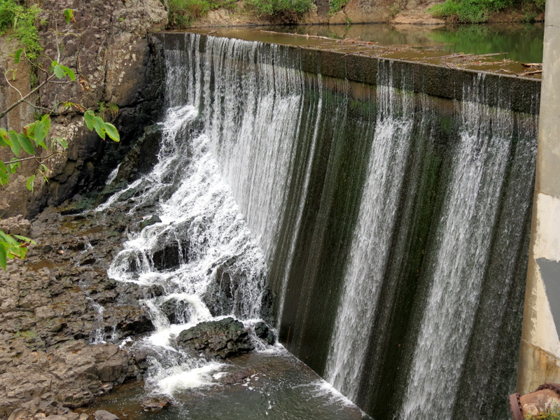 ... Buttermilk Falls |
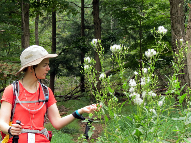
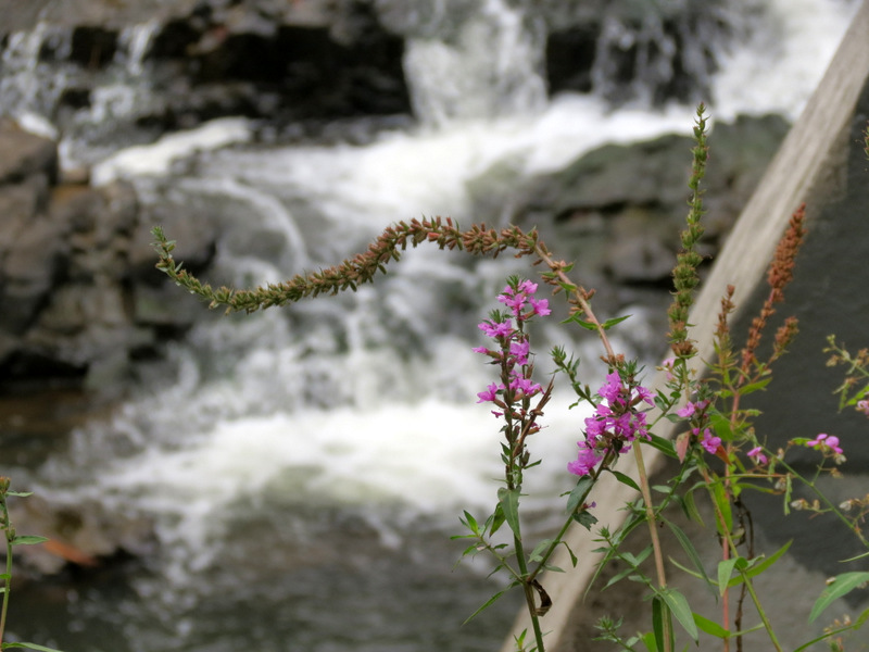 Wildflowers |
 |
 Through the trees |
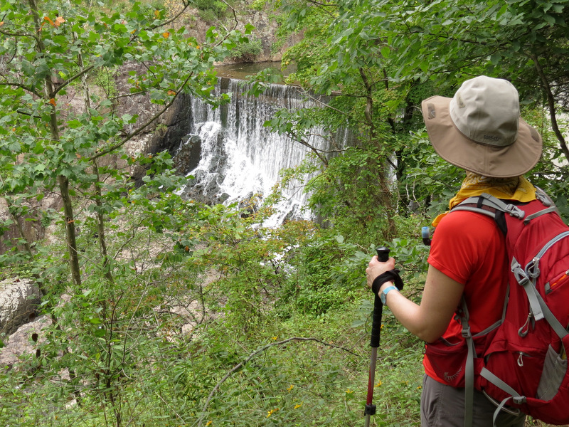 |
 View from front |
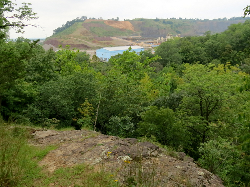 Another view of quarry |
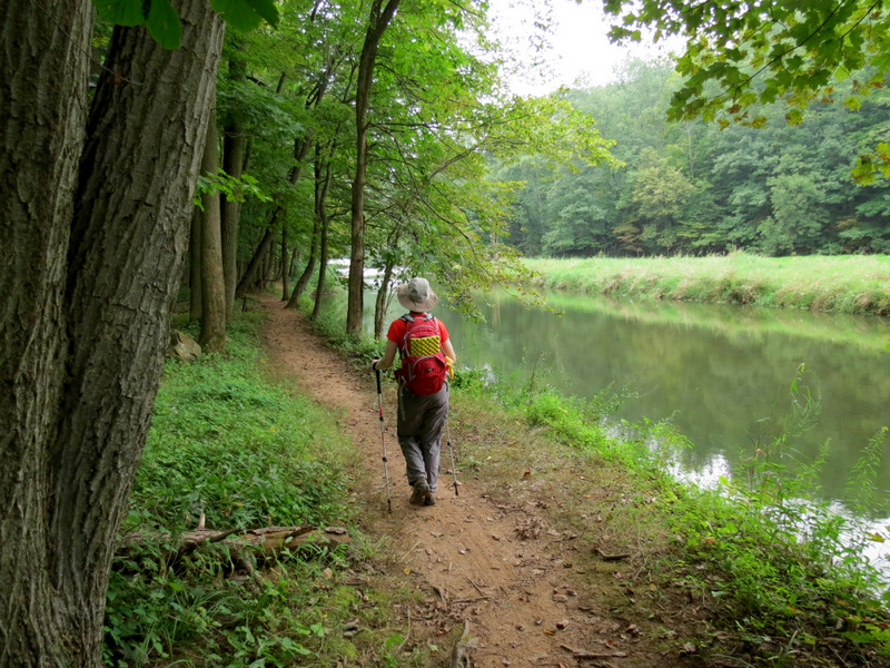
 Yellow path back |

|
|
Photographs and content copyright © Dan Balogh Web design by Dan Balogh |