 |
|
Last month we hiked a beautiful lollipop in the western part of this park starting at Jaques Lane and
venturing as far east as the "concrete bridge" labeled on the JORBA map
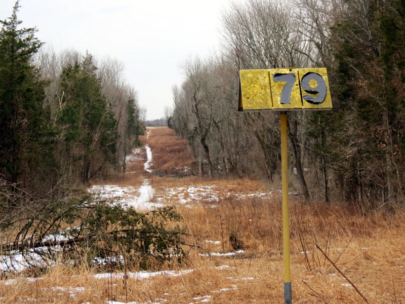
for this park. Today we hiked a good part of the eastern part beginning at the soccer field on Route 27.
It was our intent to hike another lollipop incorporating the entire length of the Red trail east of the concrete bridge, all of the Orange trail, and what is marked as a black trail on the map. According to the map the Orange trail between the powerline and pipeline cuts is one of the twistiest trails designed even by JORBA and their trails (tailored for mountain biking) tend to be twisty to begin with. We began by heading west on Red, then continued on Black (which is not blazed). We intended to next take Orange from its eastern end to its western end, but we couldn't find Orange until we got to the pipeline cut. We continued walking along a nice lane between evergreens instead. It's probably best that we found Orange further west because even the relatively short portion we hiked was twisty enough, and the map indicates it is much less twisty than the eastern part of Orange! At the end of Orange we headed north along Red to the concrete bridge which seems to have been broken and partially washed away (last month we could have easily walked across the entire thing, but not today). At this point we turned around and took Red all the way back to the car. Total distance hiked today was 4.5 miles in just under 3 hours.
|
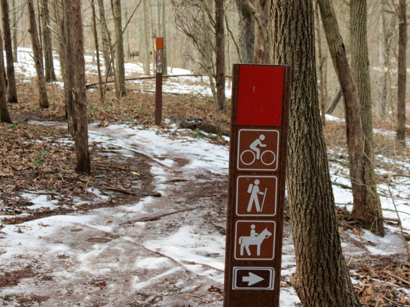
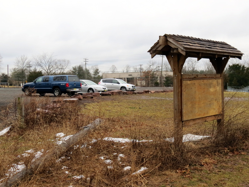 Information-less kiosk |
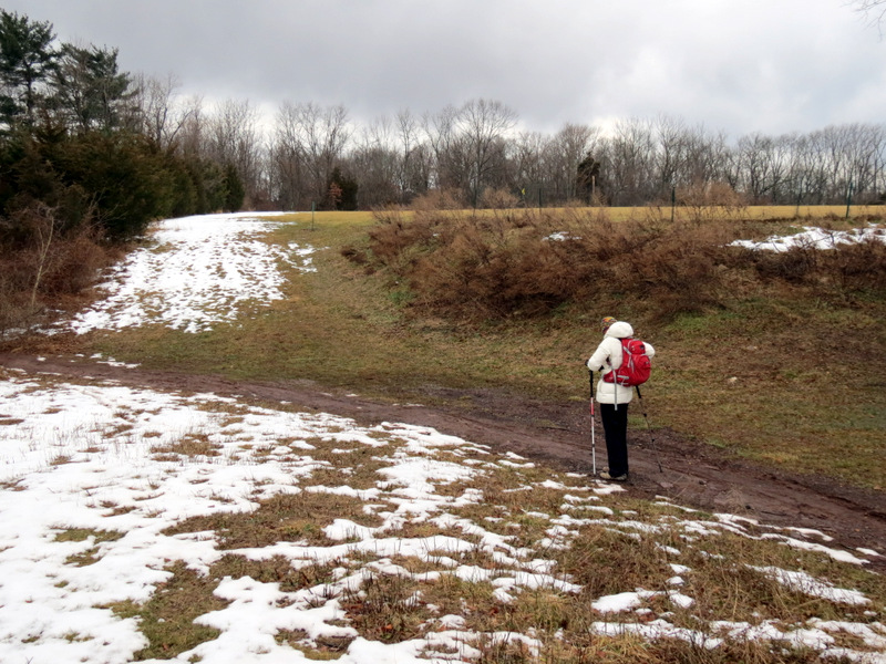 |
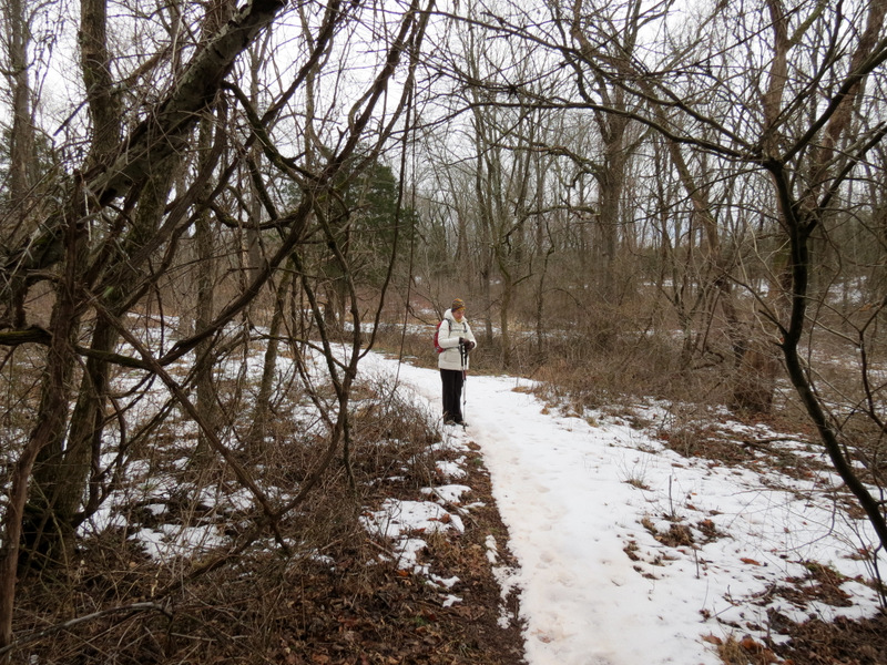
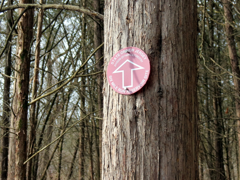
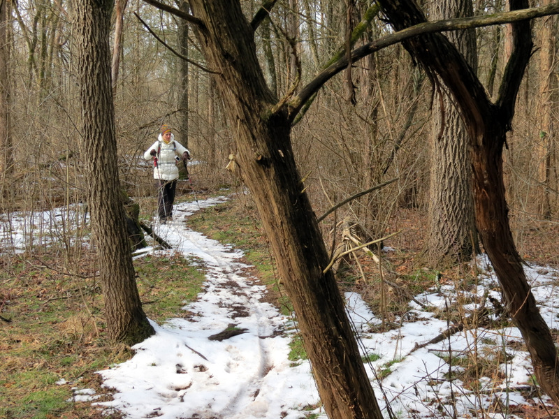
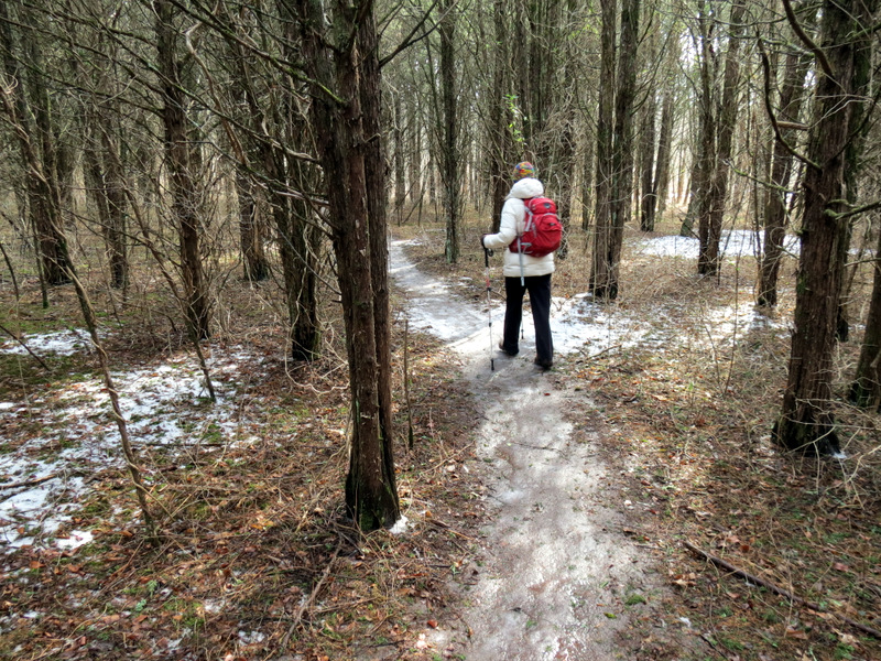
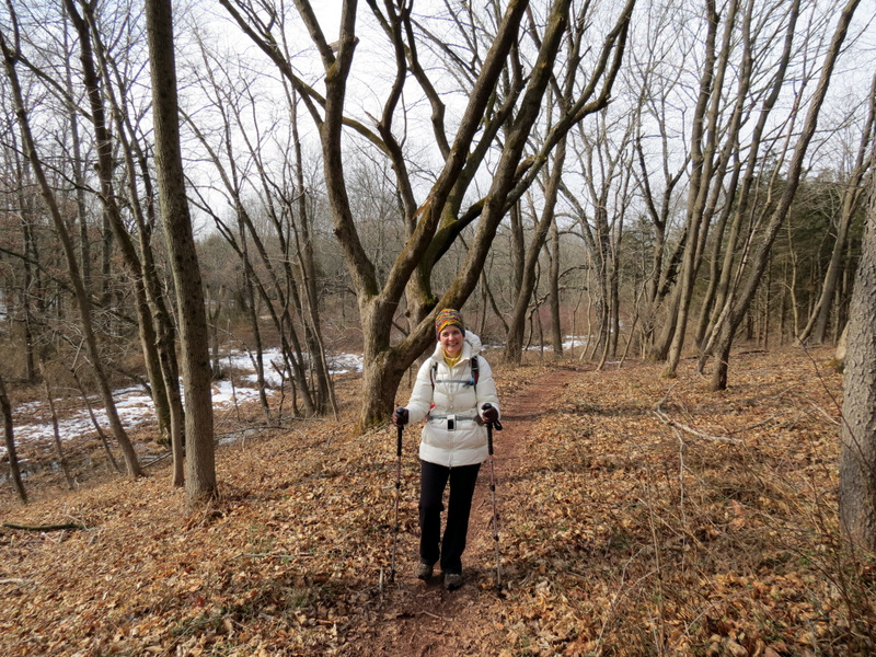
 On Red |
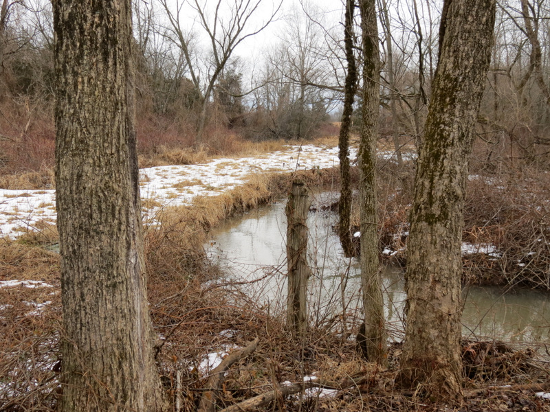
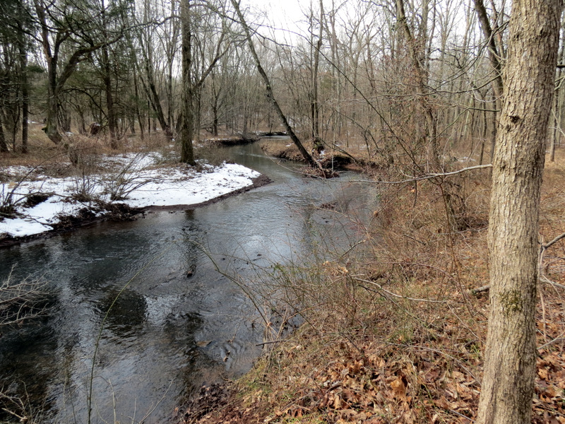
 Six Mile Run ... |
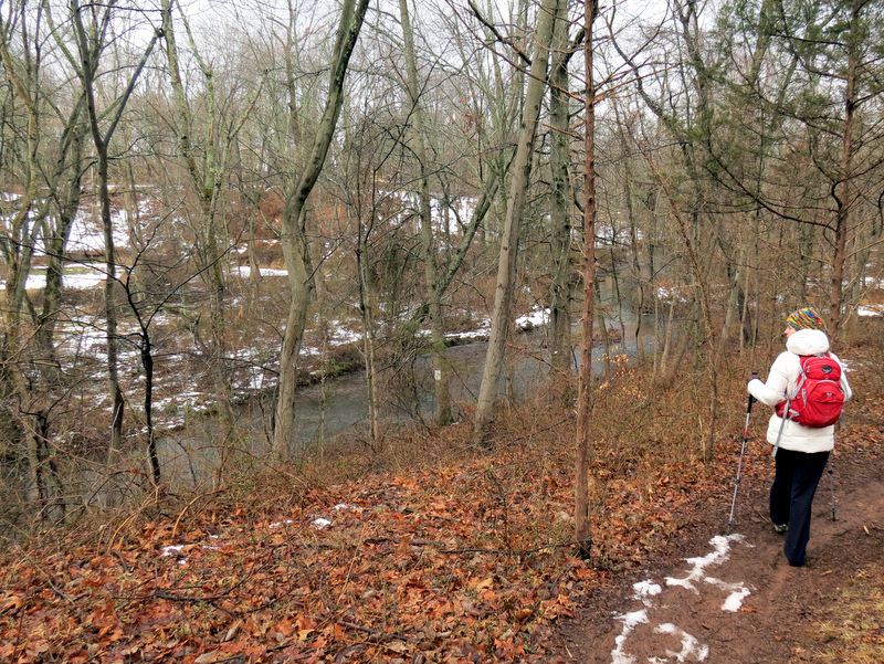 ... below Red |
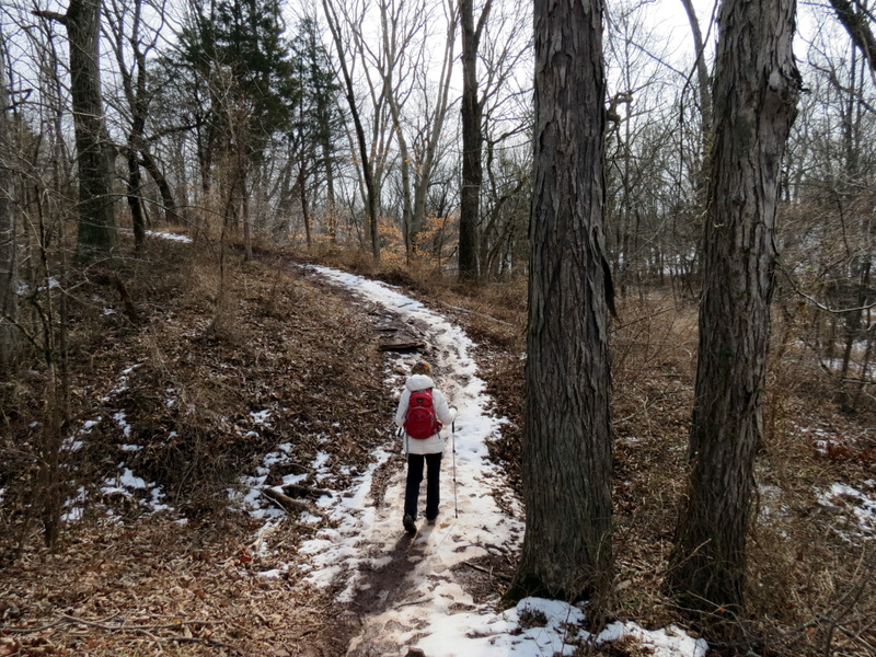
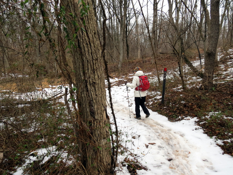 Still icy in parts |
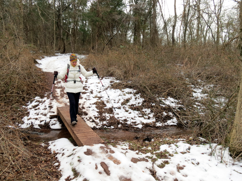
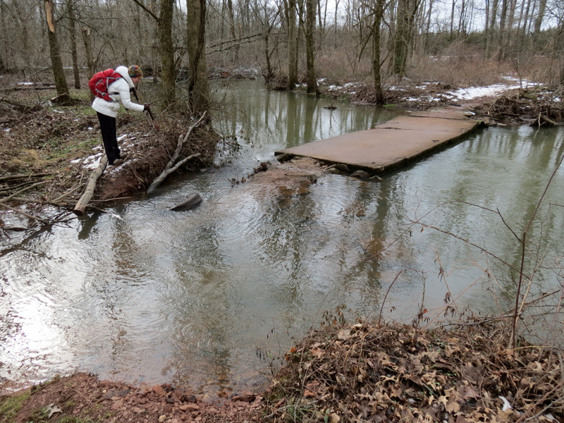
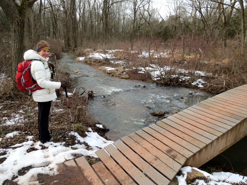
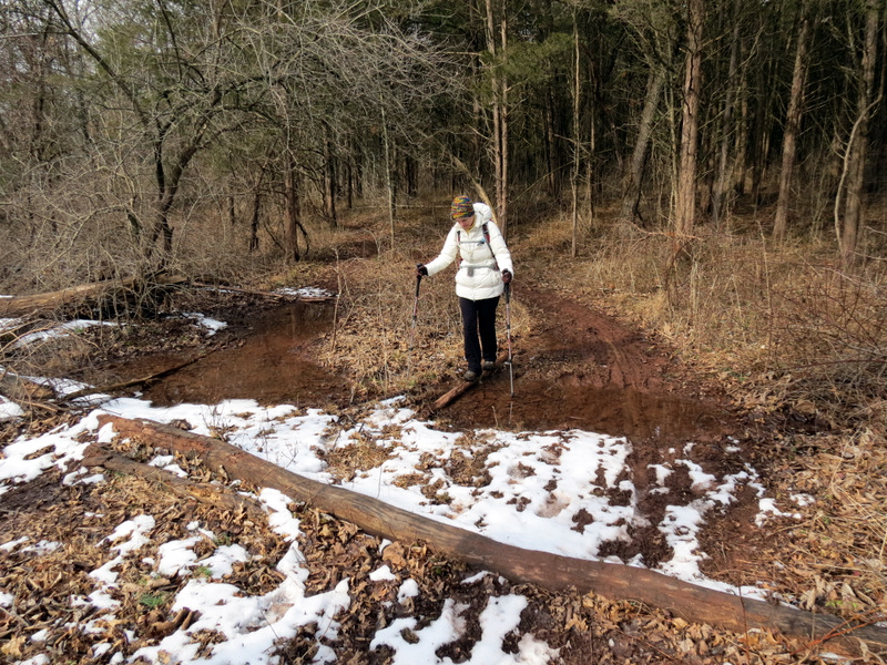
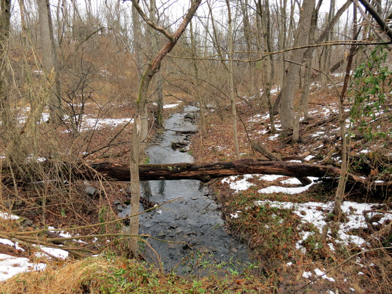 Crossing over a finger of the run |
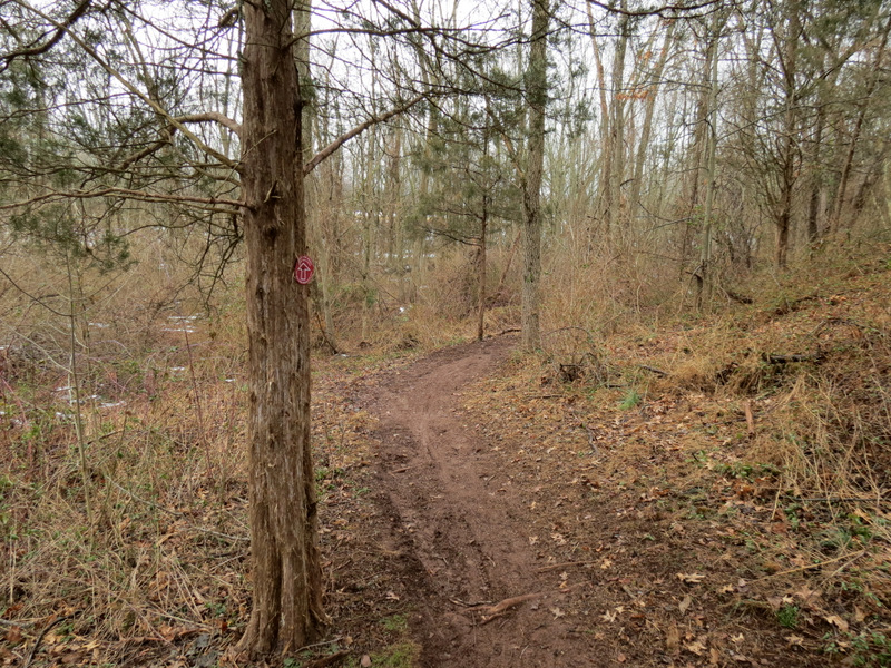
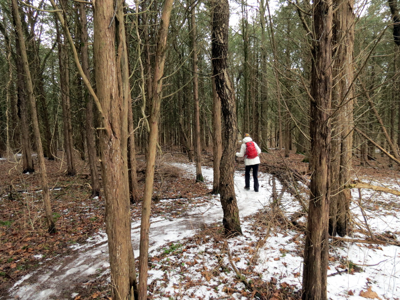
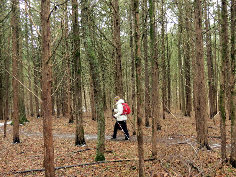
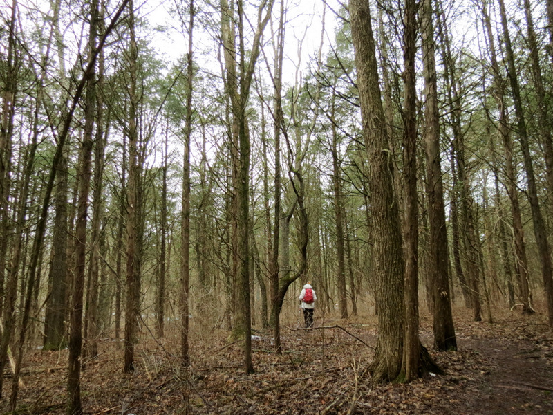
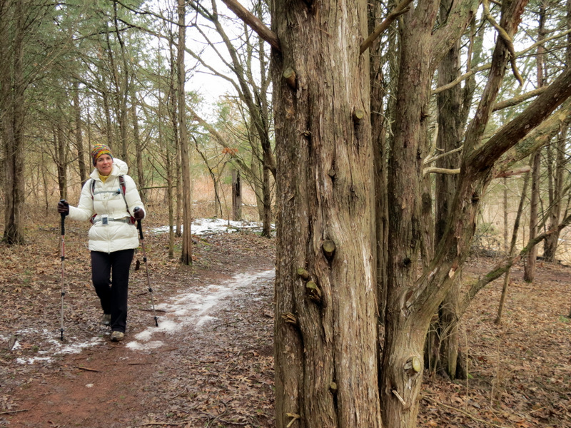
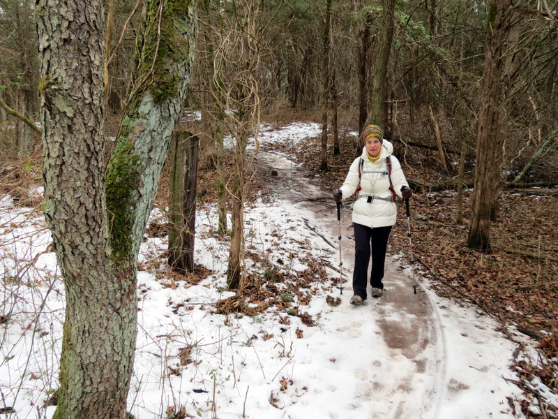
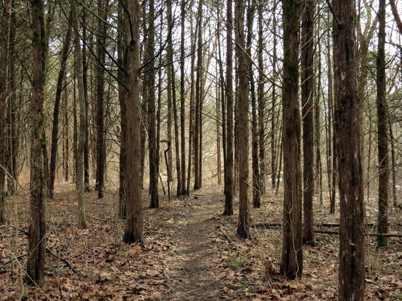
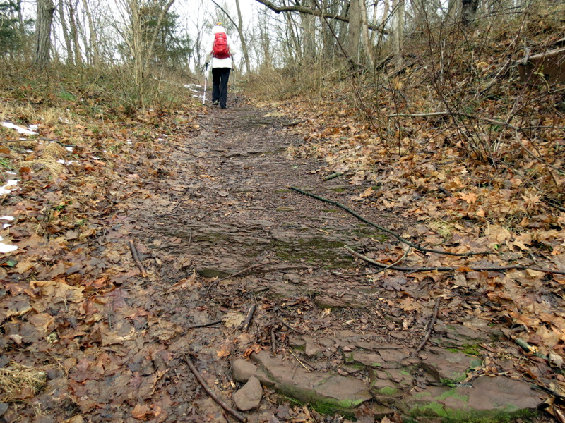 On unmarked "Black" |
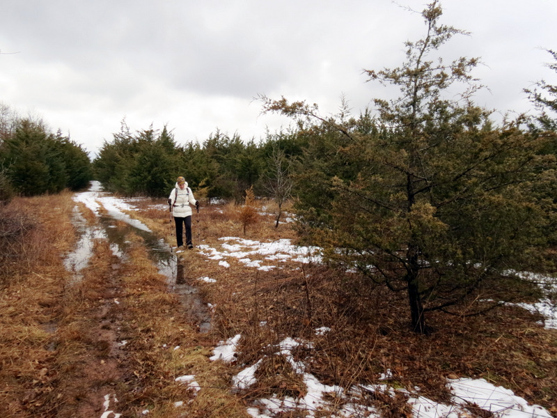
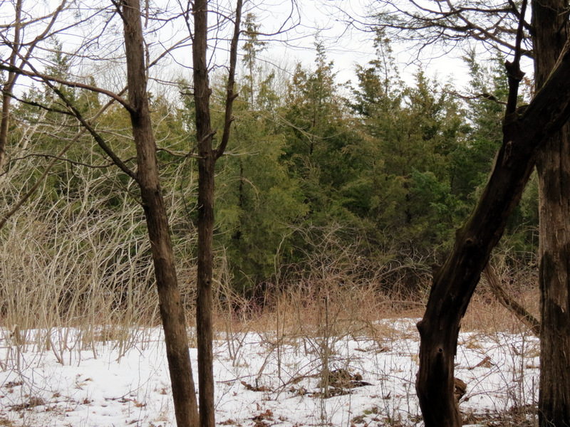
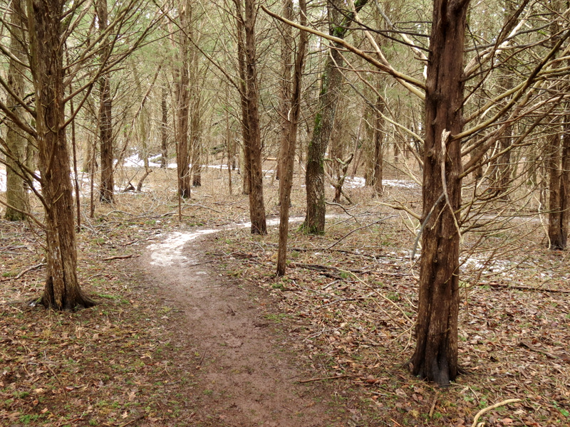
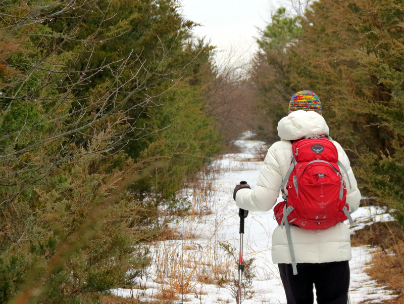 Path is a straight lane ... |
 ... between evergreens |
 |
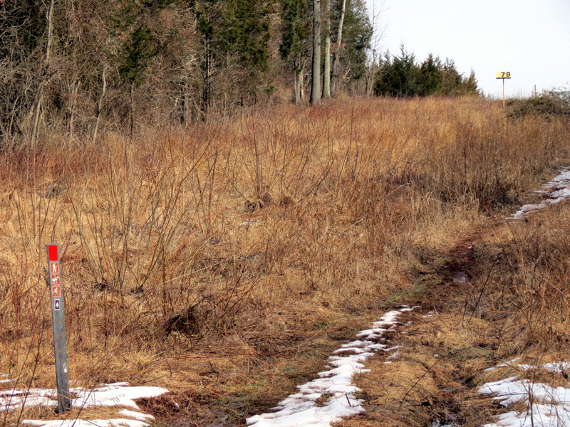
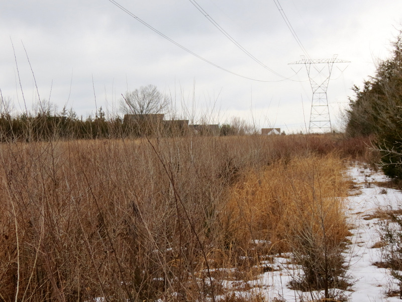 Powerline cut looking north |
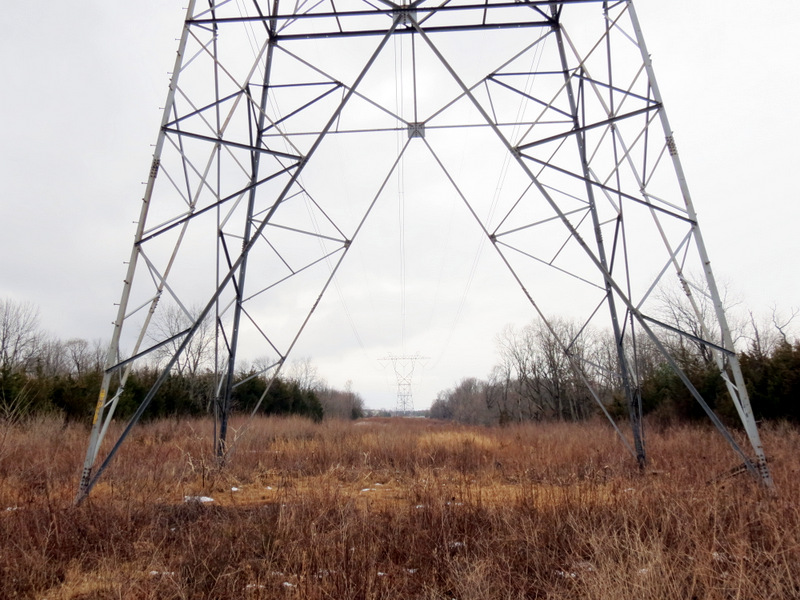 Looking south |
 In the cut |
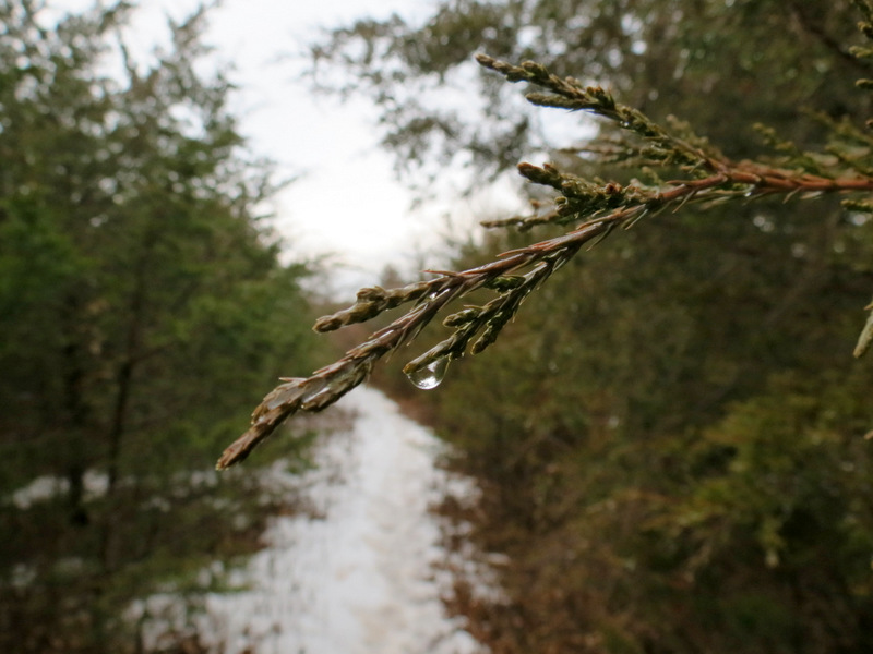 Water drop |
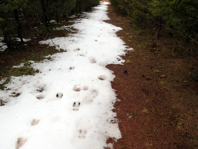 Deer prints |
 |
 |
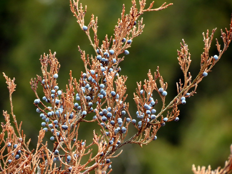 Juniper berries |
 Pipeline cut |
 Now on Orange |
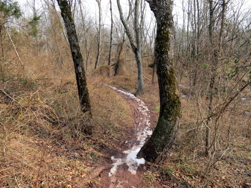
 Twisting ... |
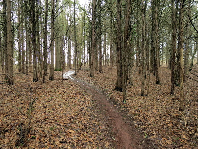 ... through cedars |
 Orange |
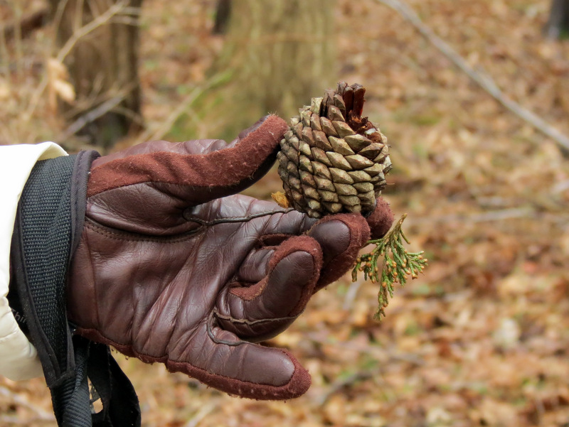 Cone |
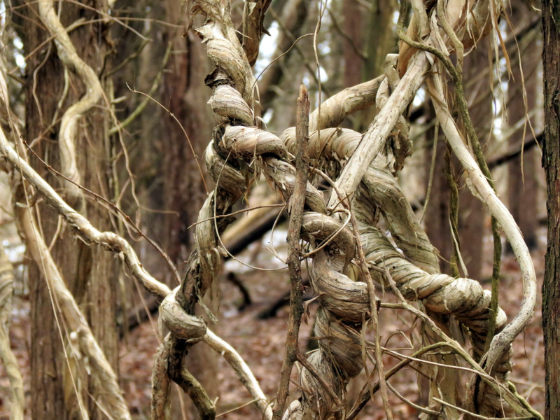 Look at those knots! |
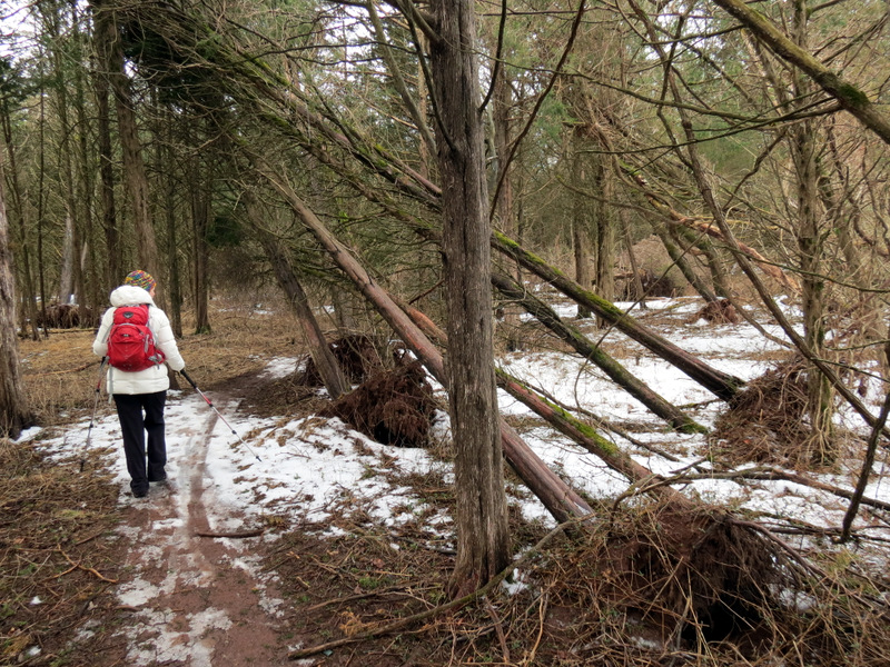 Blow-downs |
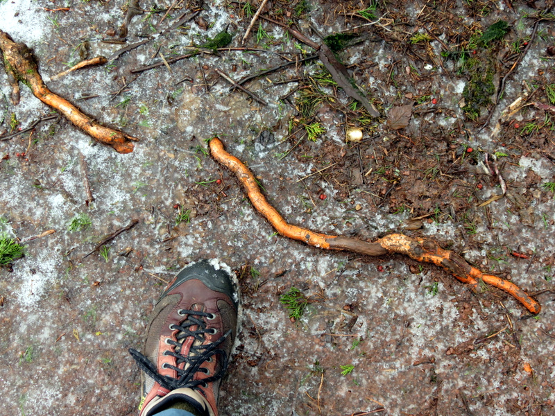 Colorful root |
 |
 Above Six Mile Run |
 Now on Red |
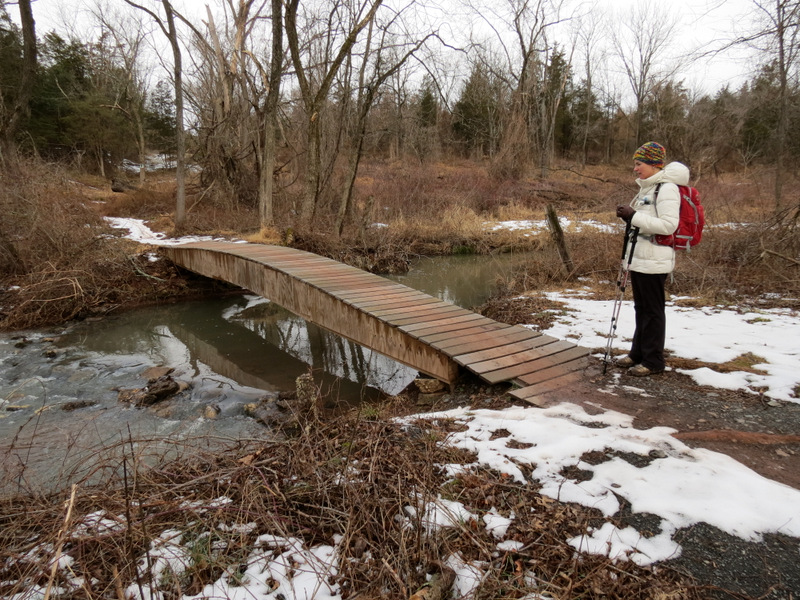 Bridge over Six Mile Run |
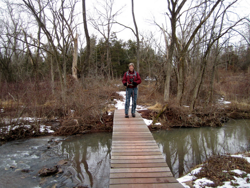 [Photo by Laura] |
 Six Mile Run |
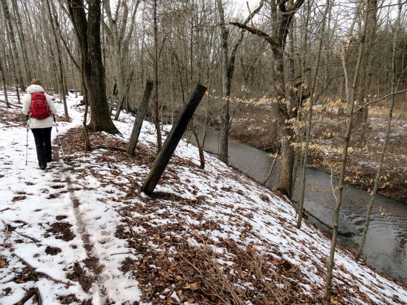
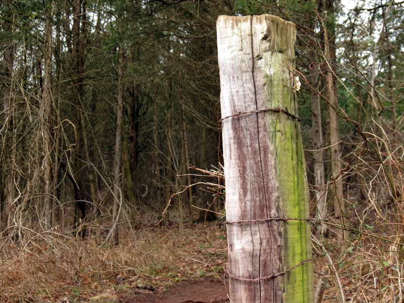 Barbed wire post |
 |
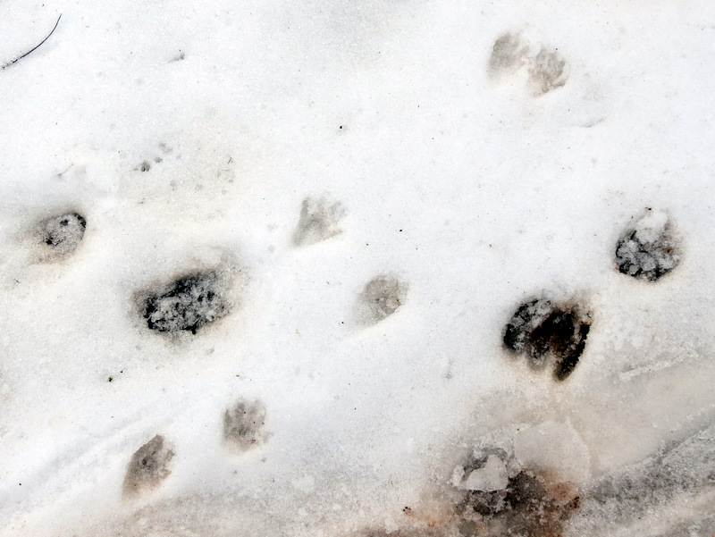 Mix of critter prints |
 |
 Trekking pole-eating mushrooms |
 |
 Icy |
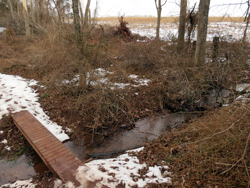 Tiny bridge ... |
 ... near a cornfield |
 |
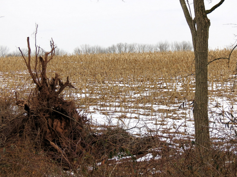
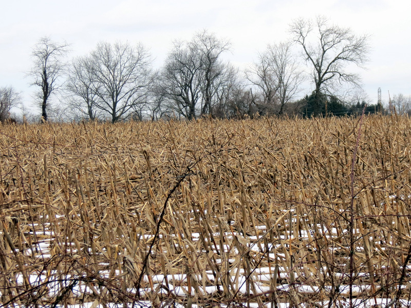 Winter cornfield |
 Sandy blow-downs cleared? |
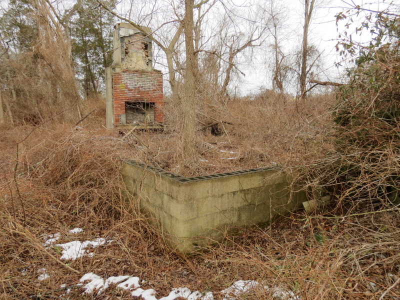 Ruins of something or other |
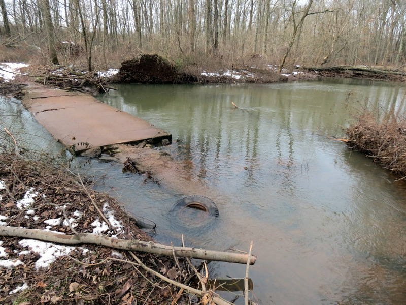 Concrete bridge partially gone |
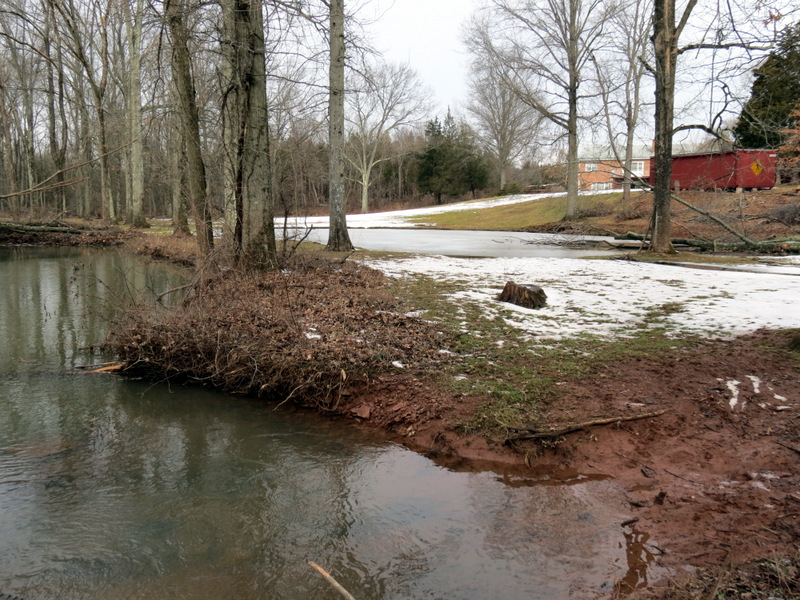 |
 Part of it broke off? |
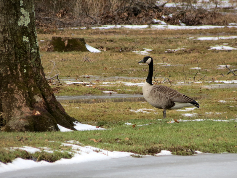 Canada goose |
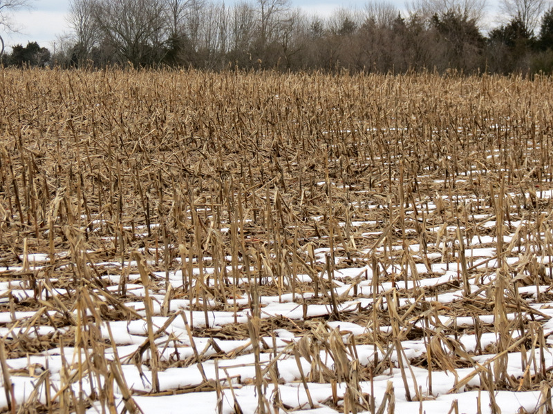 Cornfield |
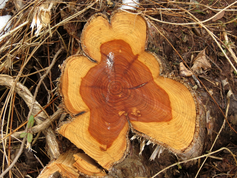 Interesting ring pattern |
 On Red |
 More blow-downs cleared |
 |
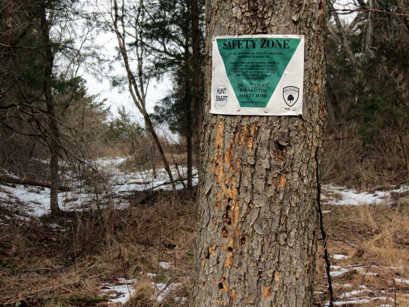 Bullet holes below Safety Zone sign |
 Six Mile Run crossing |
 Red & Orange intersection |
 Six Mile Run below |
 Barbed wire abounds here |
 Gorgeous mushrooms |
 Beech color |
 |
 Red blaze |
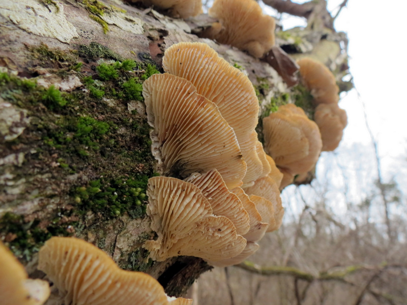 More mushrooms |
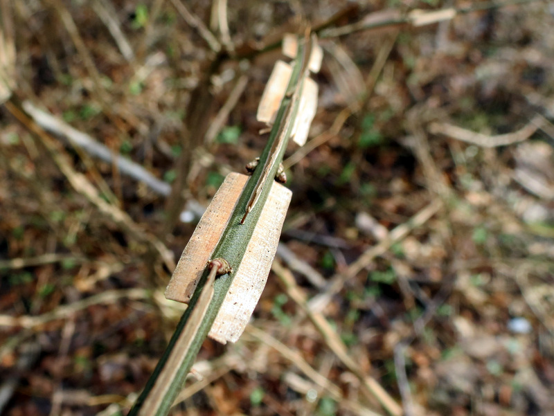 Interesting shoot |
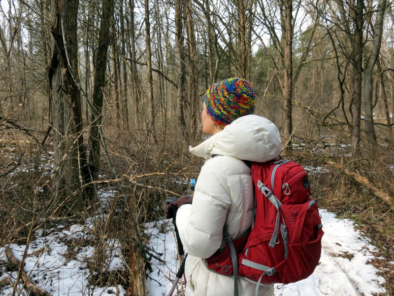 Admiring nature |
 |
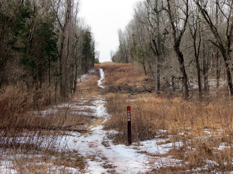
 Pipeline cut |
 View north |
 View south |
 Flimsy makeshift bridge |
 Sun is peaking out |
 The Run |
 Tiny bud |
 Log balancing ... |
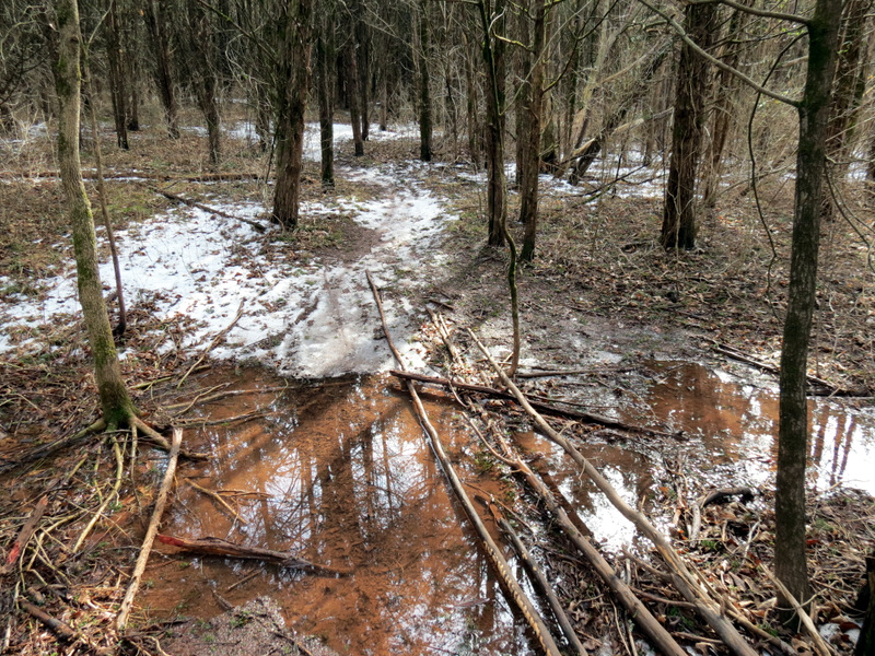
 ... in wettest, muddiest spot |
 |
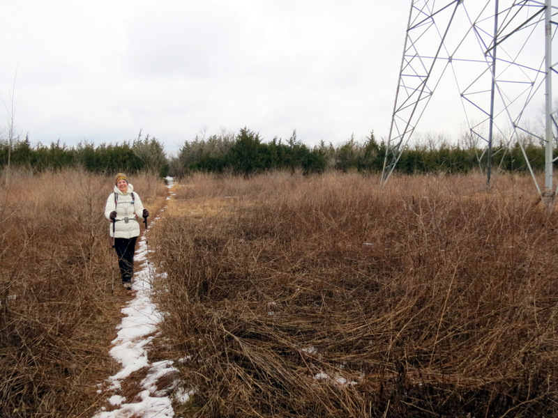
 Powerline cut |
 Bike launch ramp? |
 |
 Beech color |
 |

|
|
Photographs and content copyright © Dan Balogh Web design by Dan Balogh |