 |
|
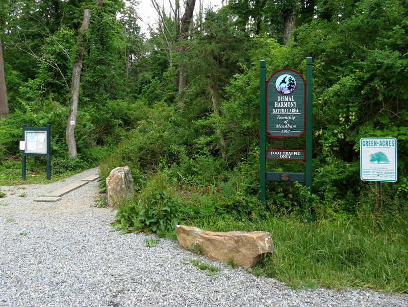
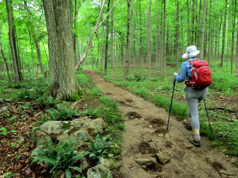
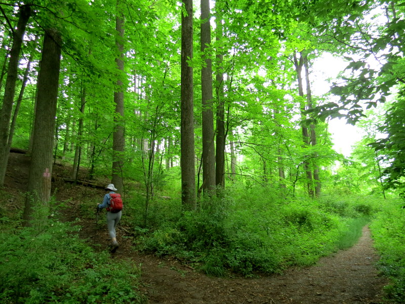
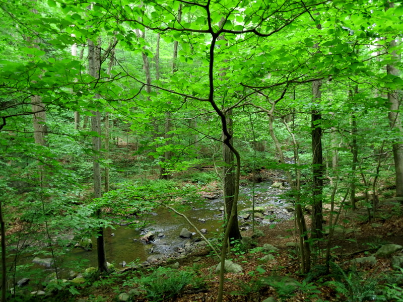
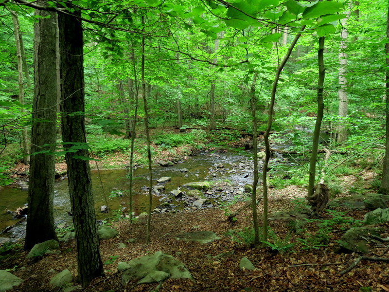
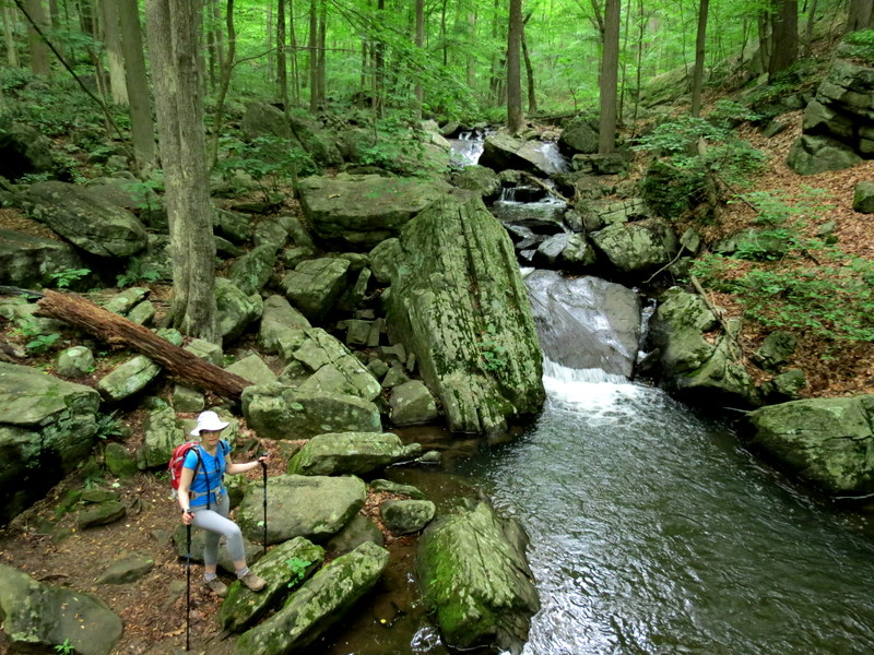
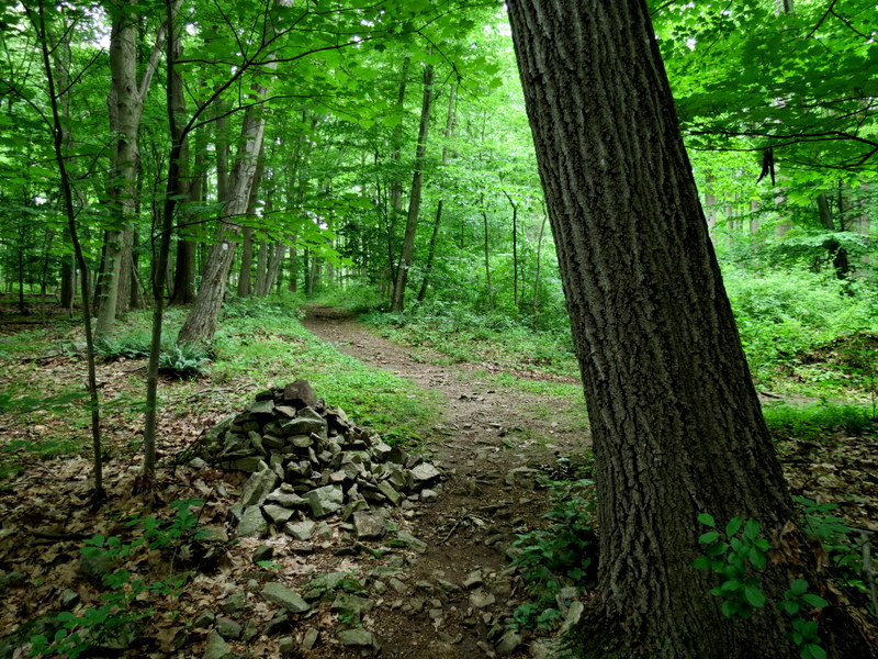
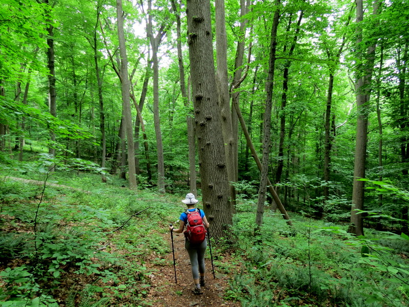
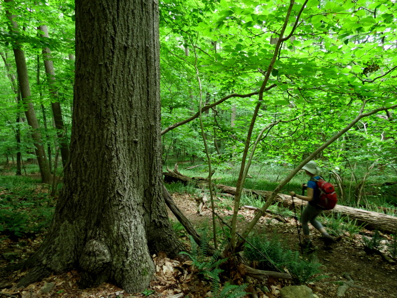
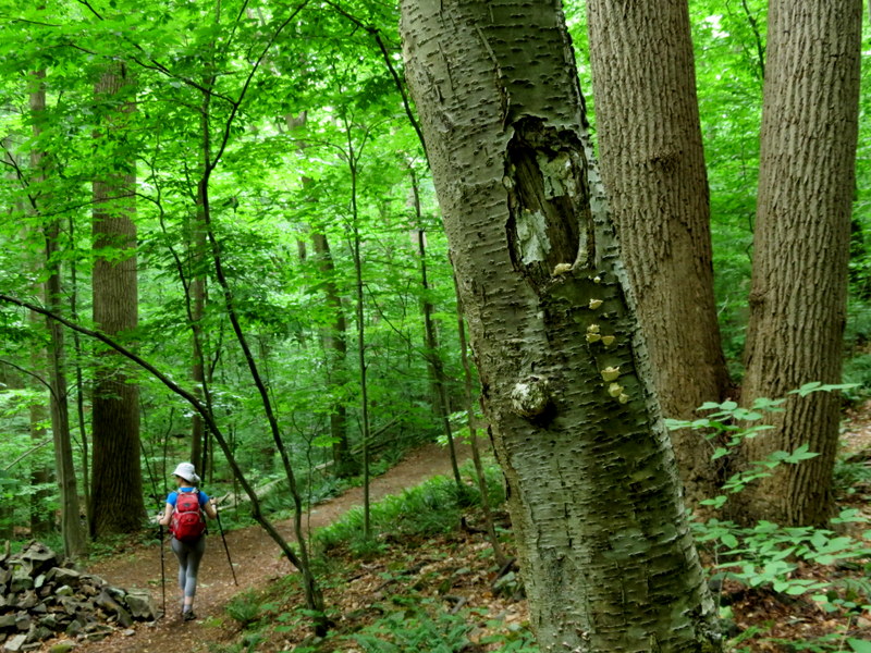
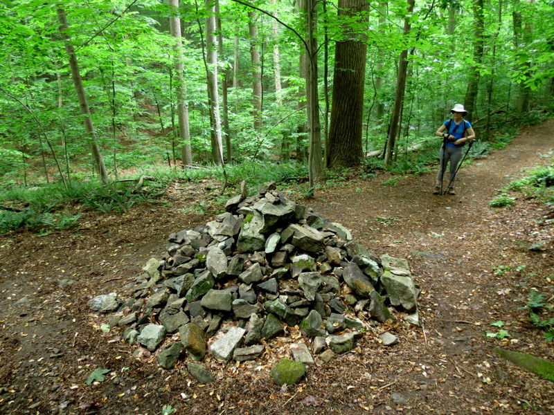
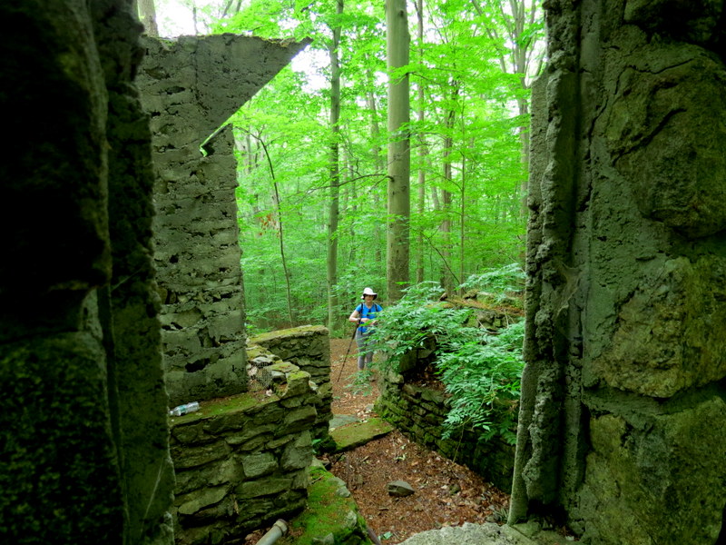
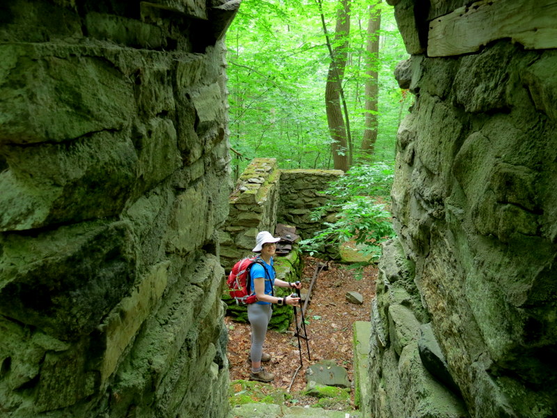
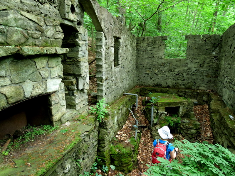
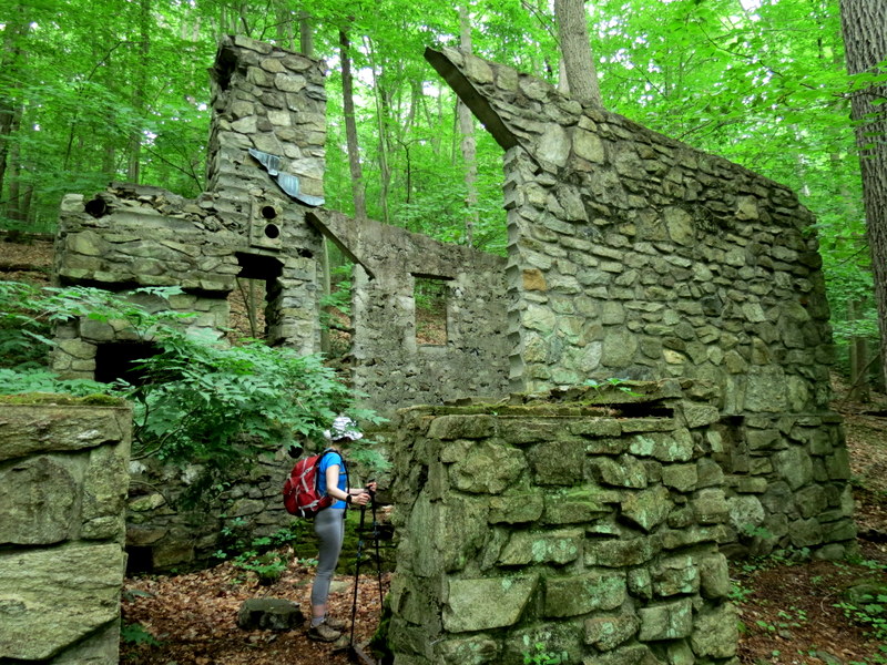
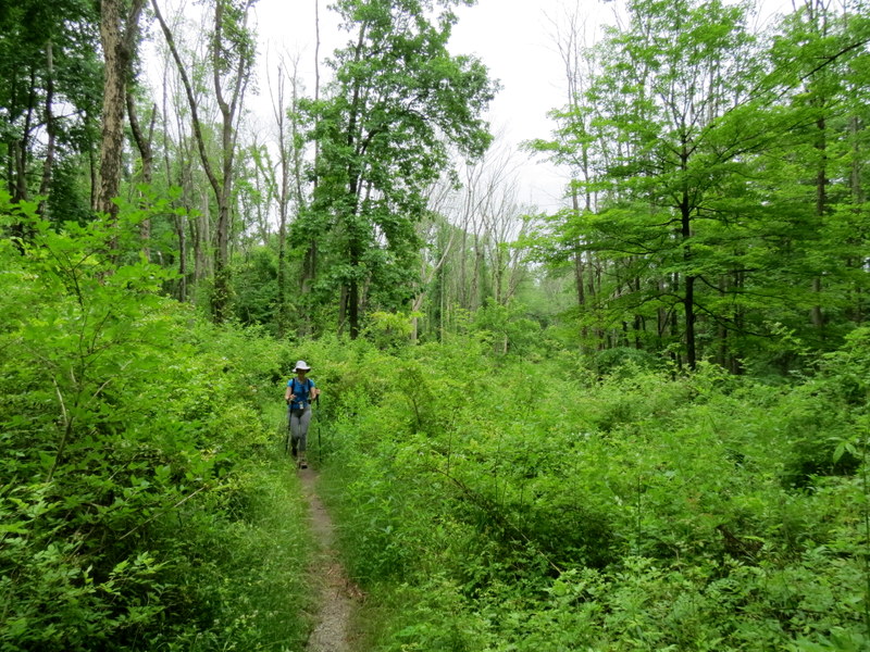
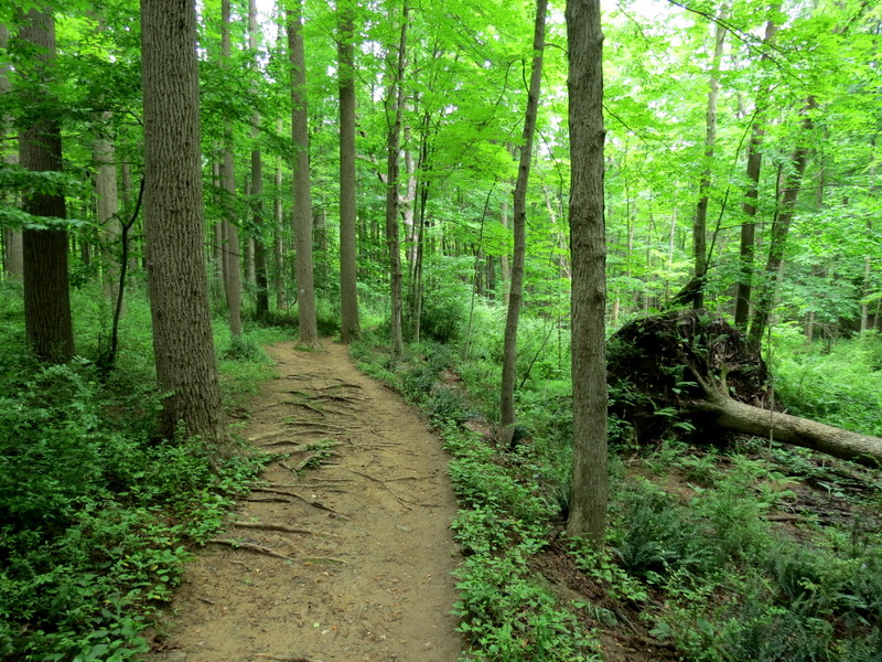
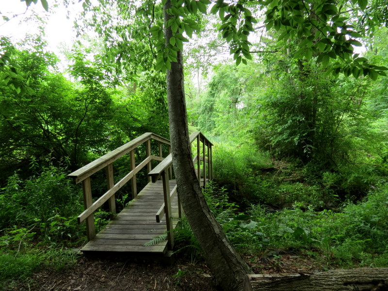
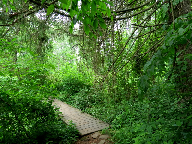
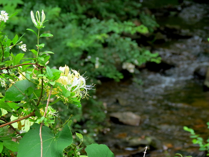
We haven't this beautiful area in ten years. So we headed back today to explore it once more.
The official map of this area includes only about half of the trails, so it's a bit difficult
to explain our route using that map. This map from Gaia GPS includes all of the trails we did today, and our paths is
highlighted.
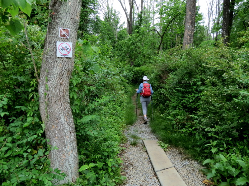
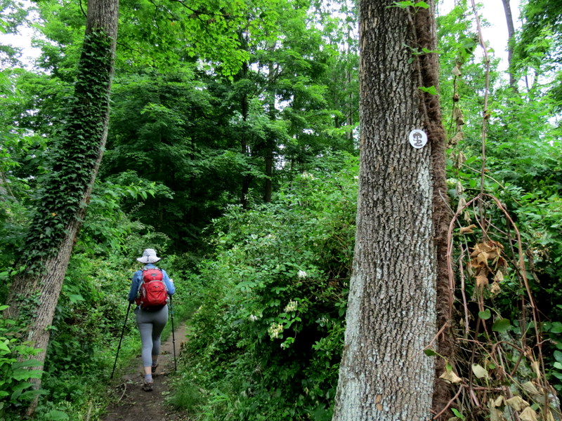
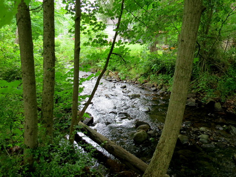
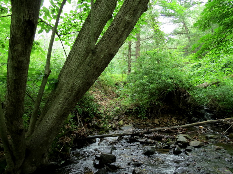
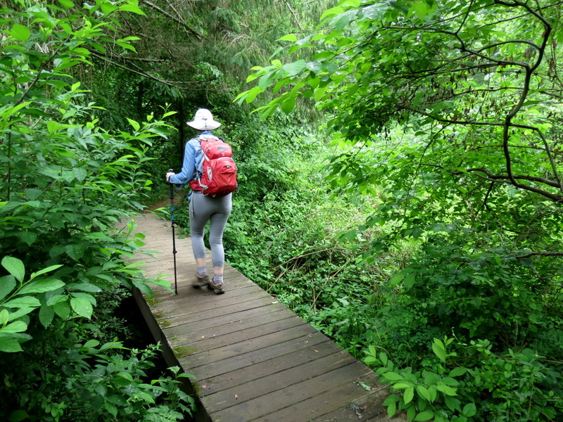
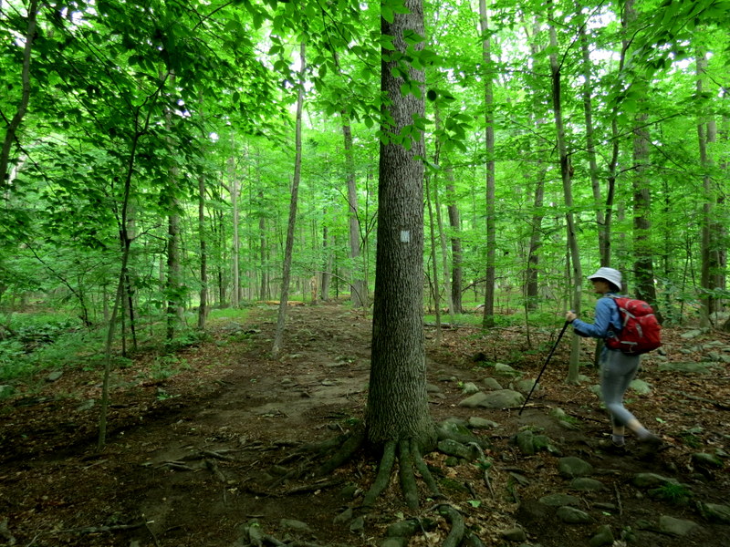
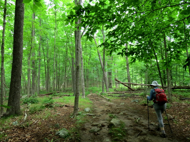
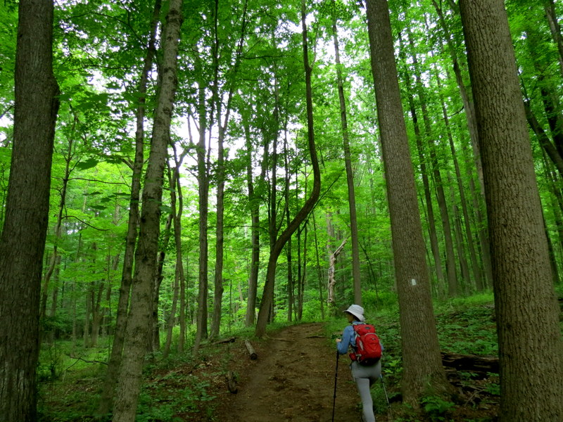
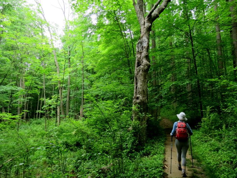
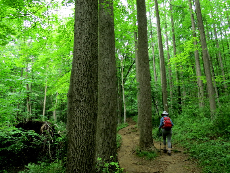
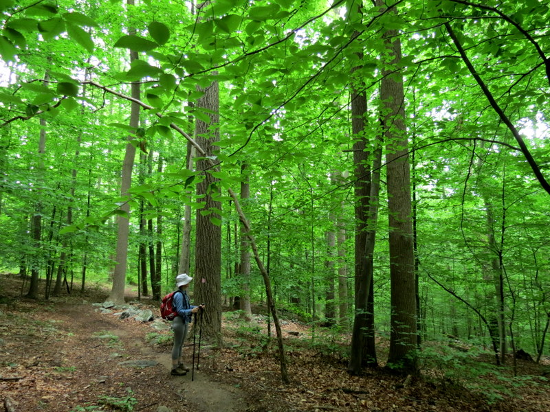
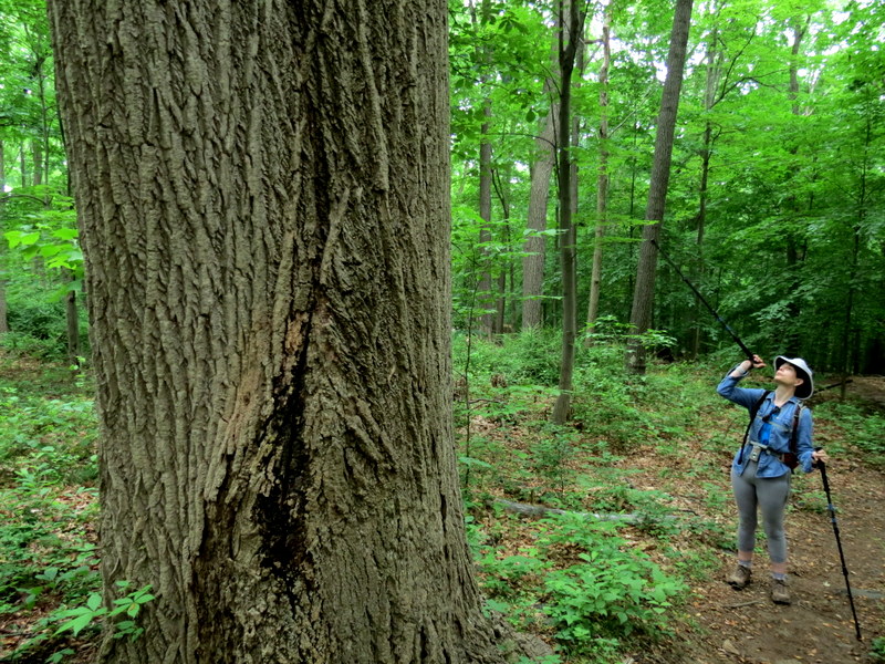
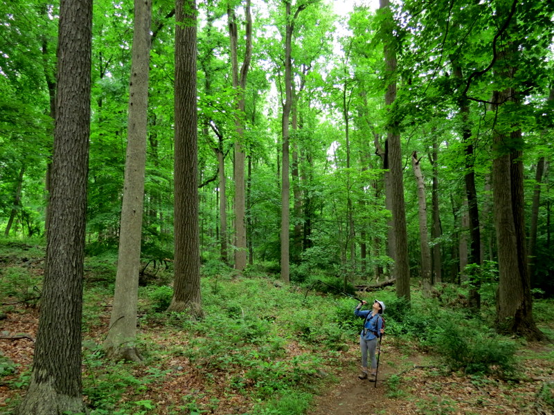
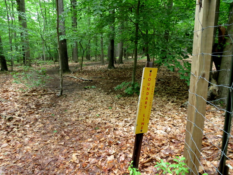
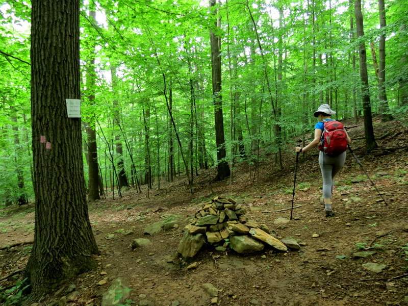
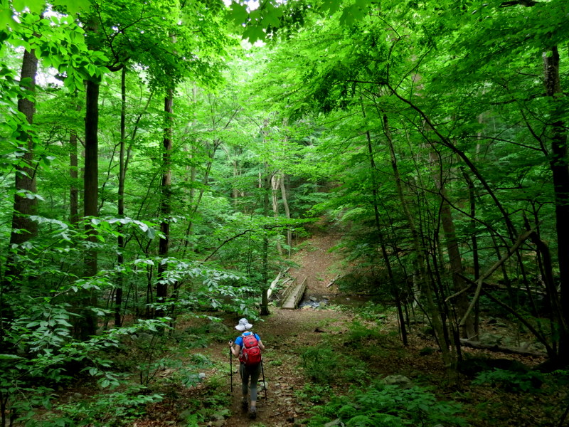
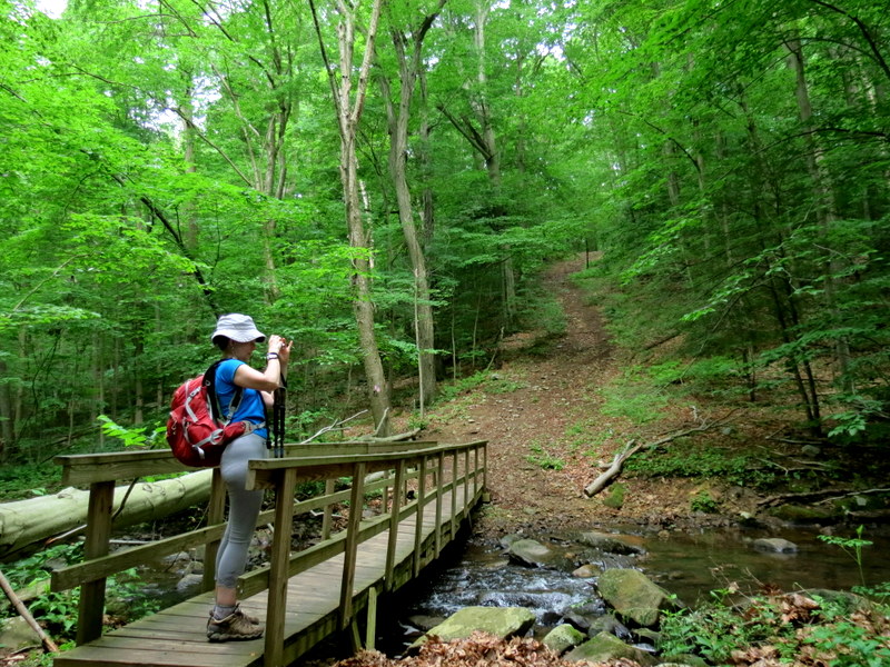
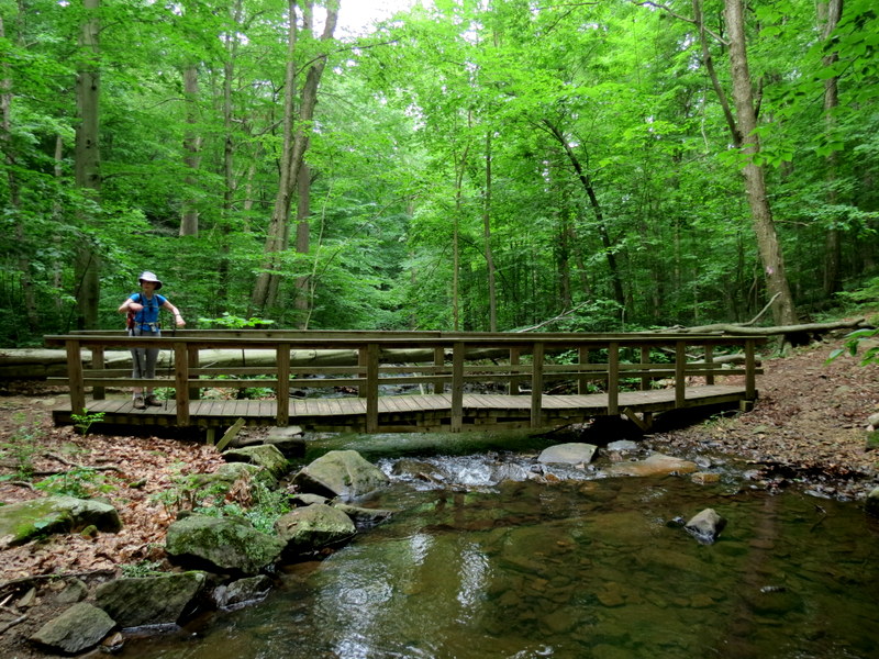
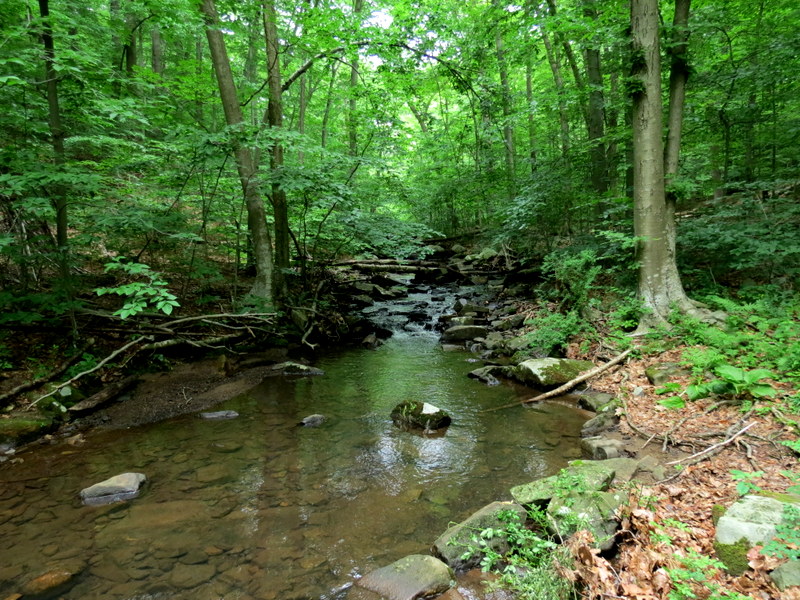
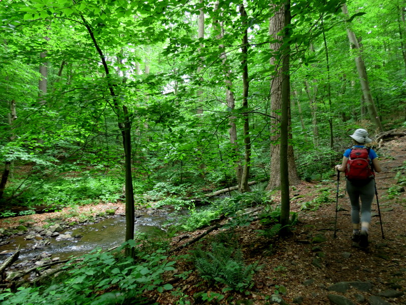
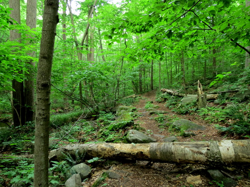
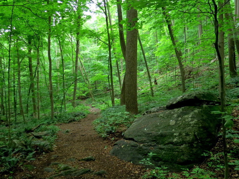
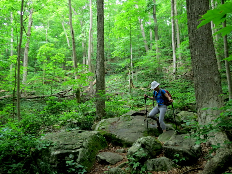
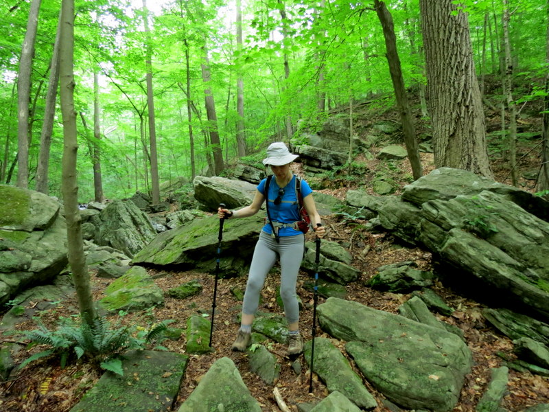
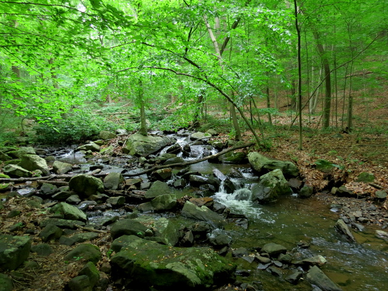
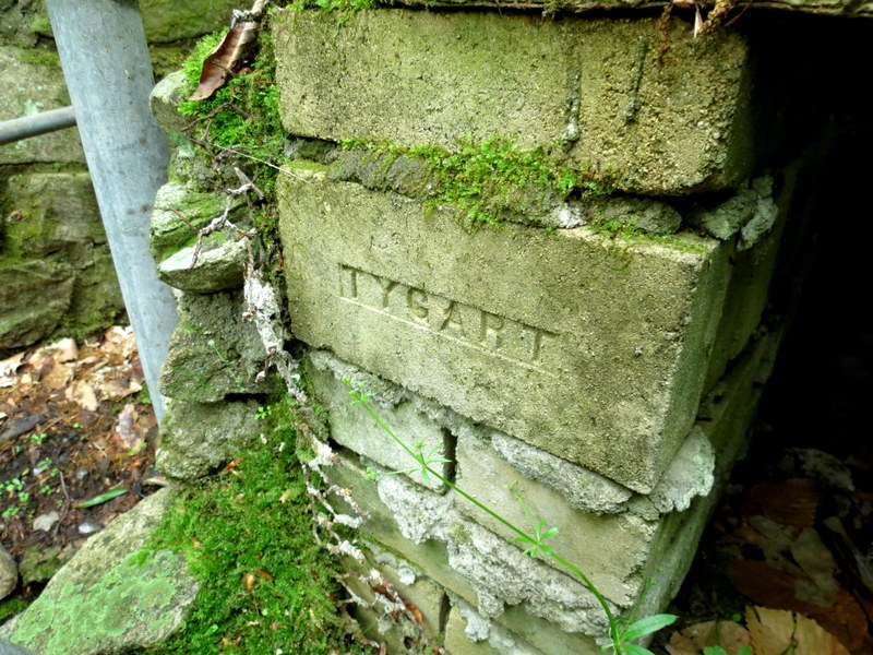
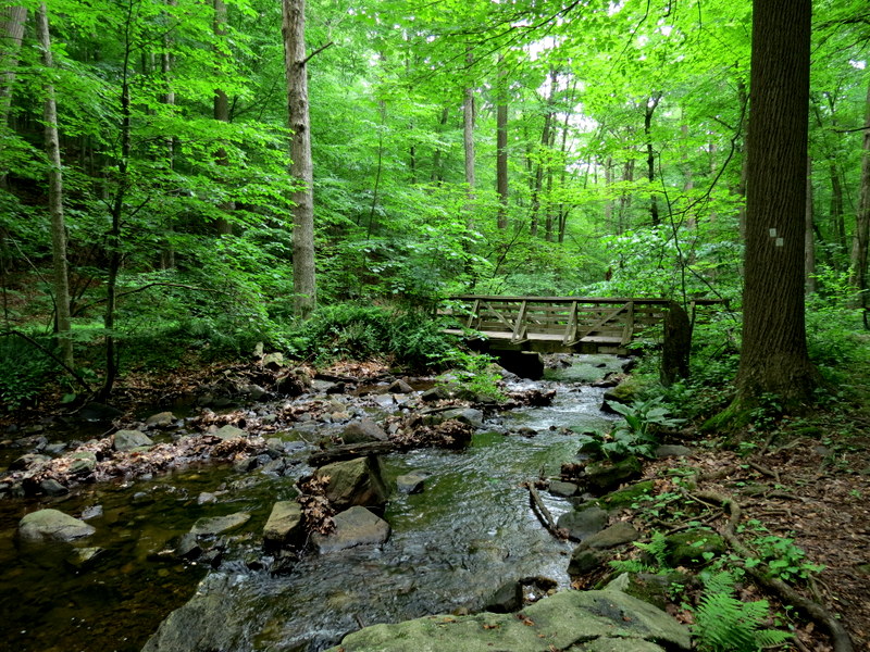
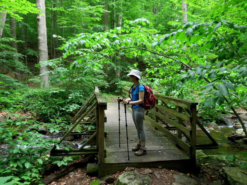
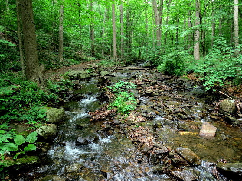
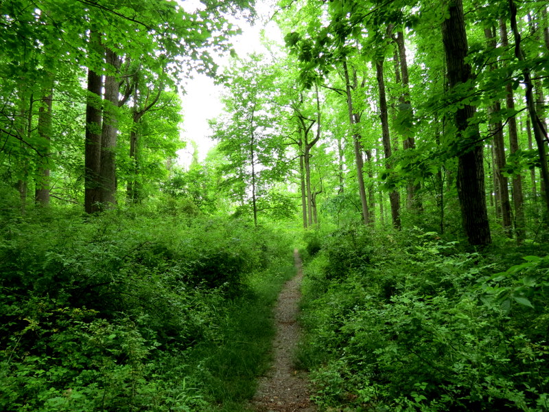
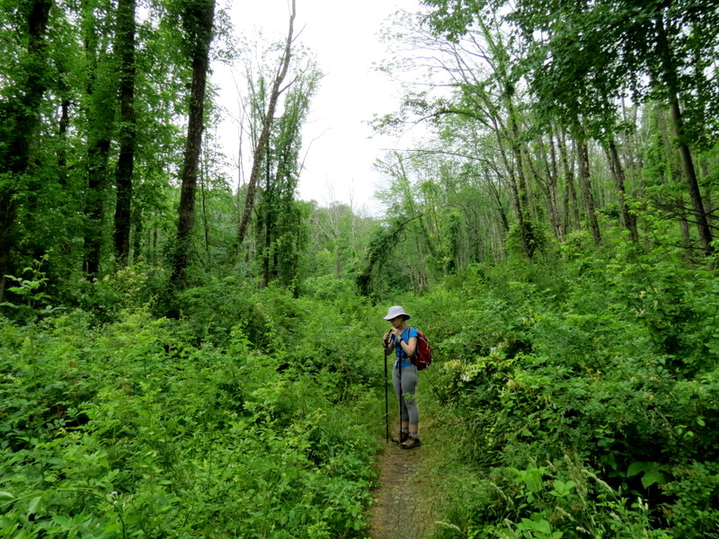
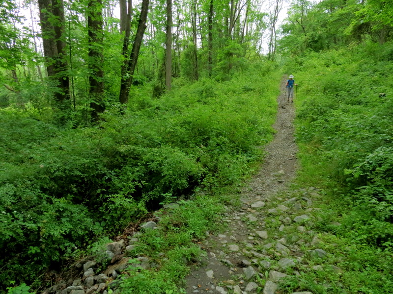
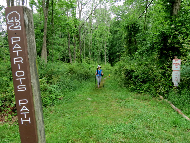
We parked in the lot on East Main Street and headed north on White, which is also the Patriot's Path (PP). At the intersection, we went straight on Red, climbing the hill (this trail is not on the official map, where a T-intersection is shown). When we reached the northern part of the preserve, we continued west, then south on Red. We passed the northern end of the Yellow trail on the right (it goes to Legend Rock indicated on the other map). We continued south, following the beautiful brook until Red ended and the White/PP trail took over. We headed west on the PP, streeply uphill for a bit, until we reached the other end of the Yellow trail. Here we backtracked back steeply downhill to the brook and followed the White/PP trail all the way back to the interesection with Red. We decided to head east on the other trail indicated on the map, which is blazed with Black Dot on White, reaching Tingley Road. Here we turned and retraced out steps back to the car. It was a nice morning and we actually saw at least a dozen other hikers. Distance hiked was 3.6 miles in just about 2.5 hours.
|
 |
 |
 |
 |
 |
 |
 |
 |
 |
 |
 |
 |
 |
 |
 |
 |
 |
 |
 |
 |
 |
 |
 |
 |
 |
 |
 |
 |
 |
 |
 |
 |
 |
 |
 |
 |
 |
 |
 |
 |
 |
 |
 |
 |
 |
 |
 |
 |
 |
 |
 |
 |
 |
 |
 |
 |
 |
 |
 |
 |

|
|
Photographs and content copyright © Dan Balogh Web design by Dan Balogh |