 |
|
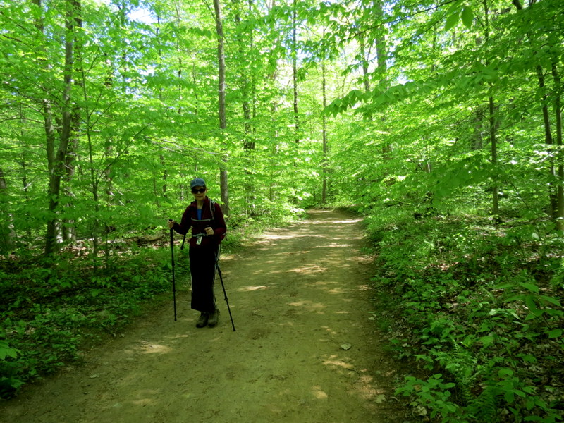
Although I hiked this area (on some of the same trails) with my friend Matt back in January of this year (I didn't take a camera), I hadn't hiked this area with Laura since
March of 2013. So we returned today to hike quite a few of the trails, some (I think) for the first time.
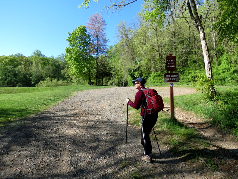
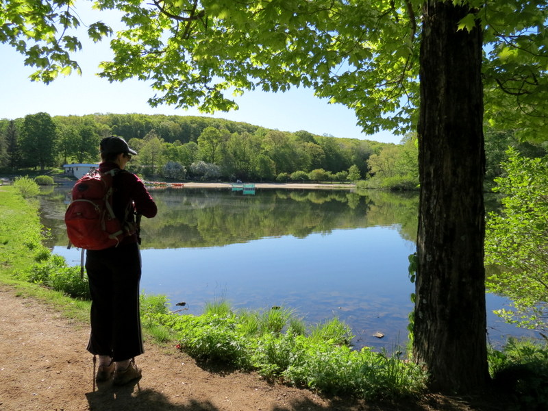
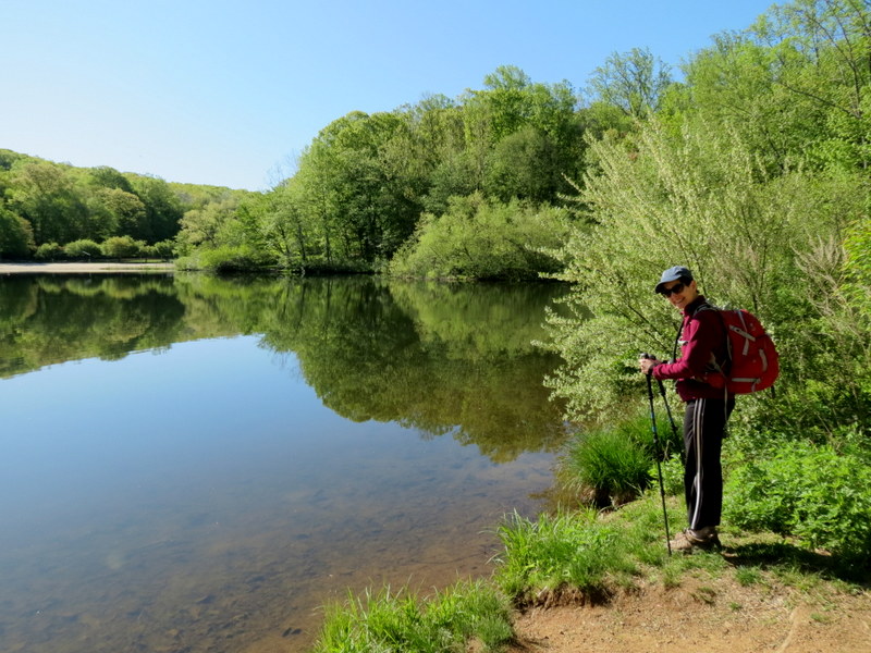
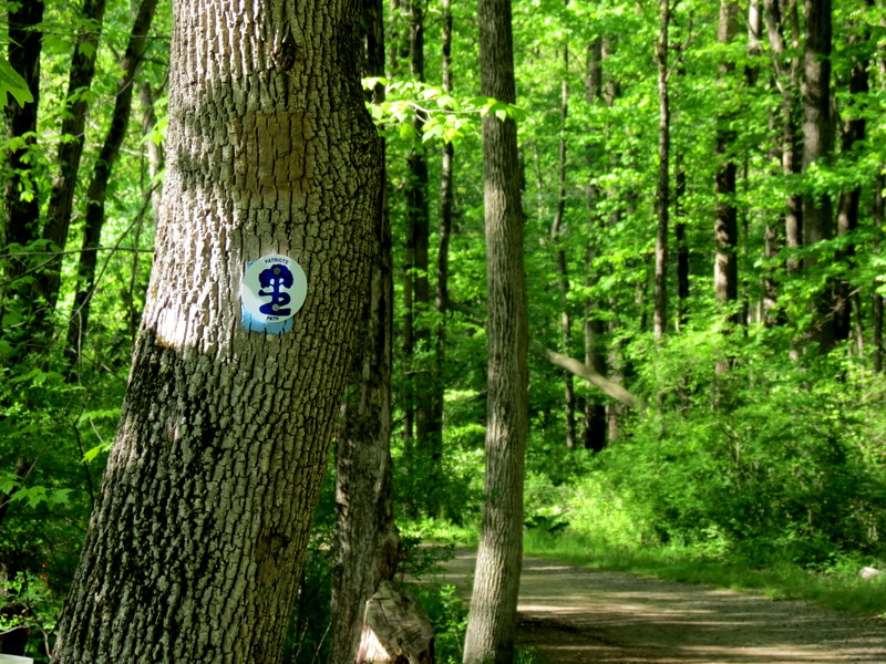
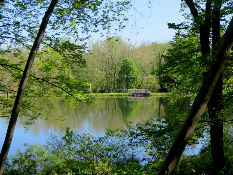
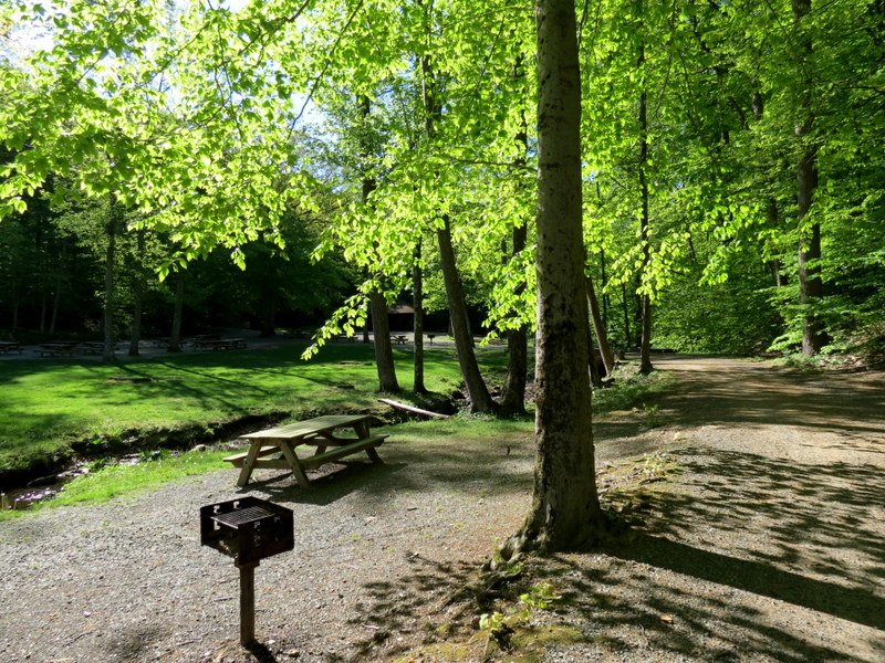
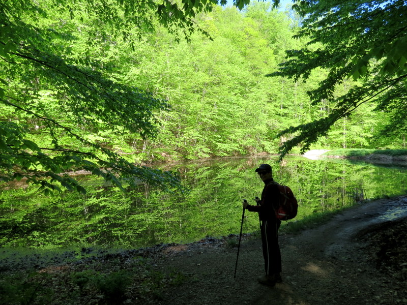
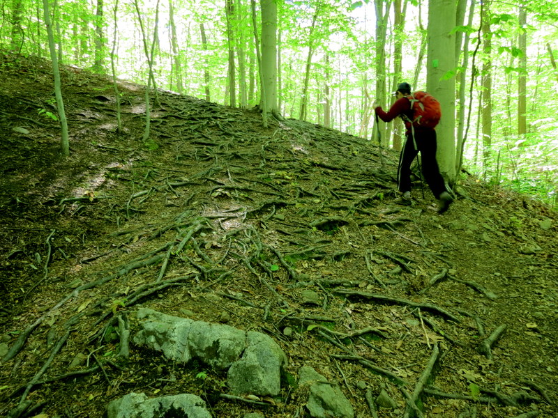
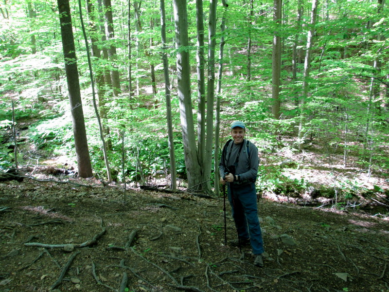
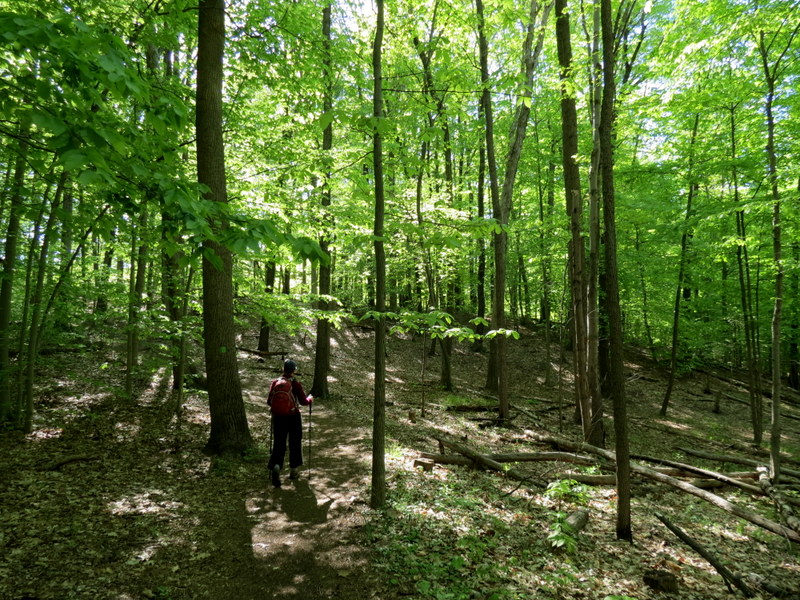
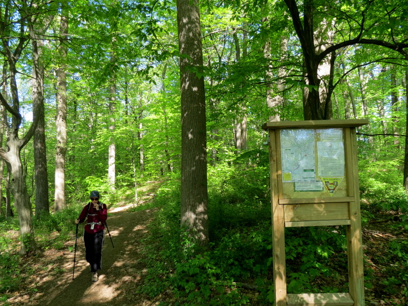
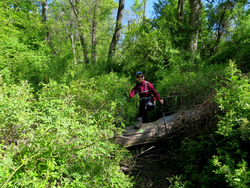
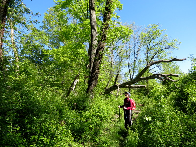
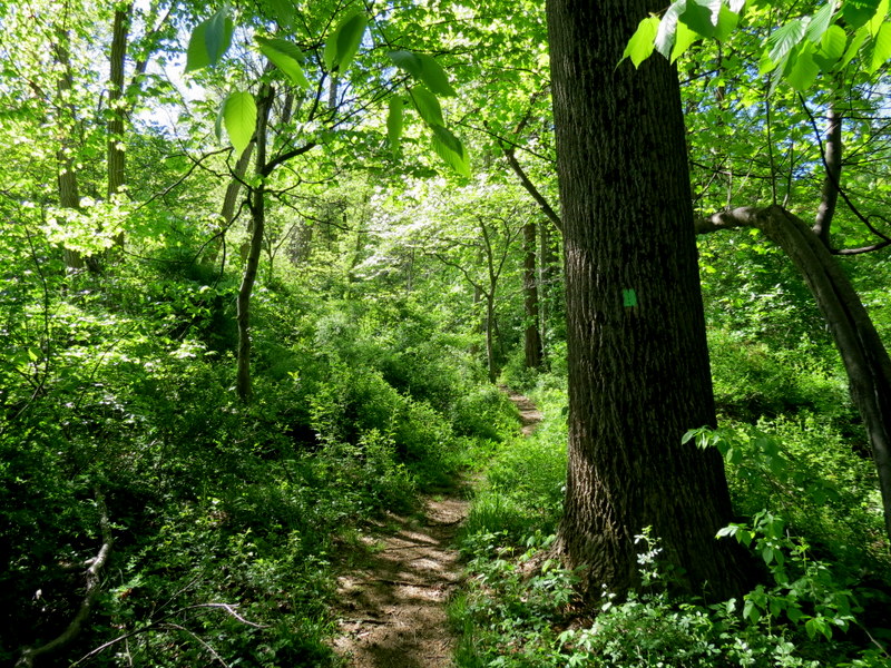
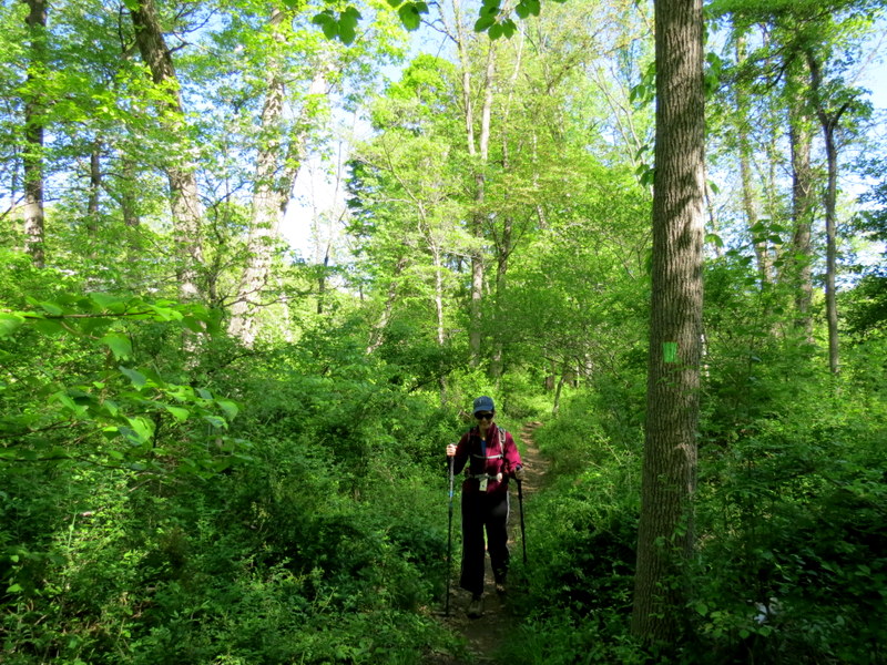
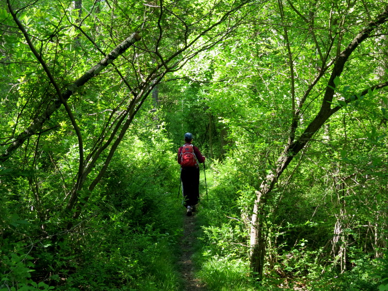
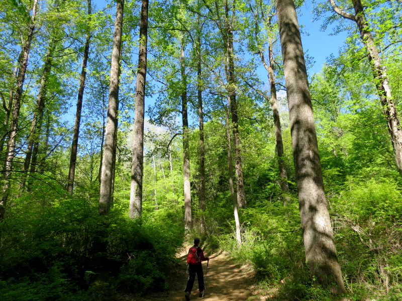
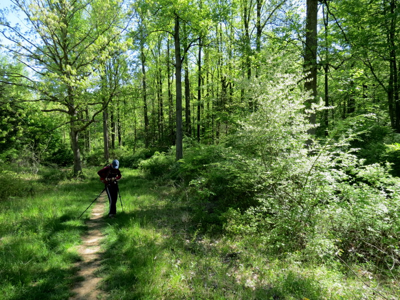
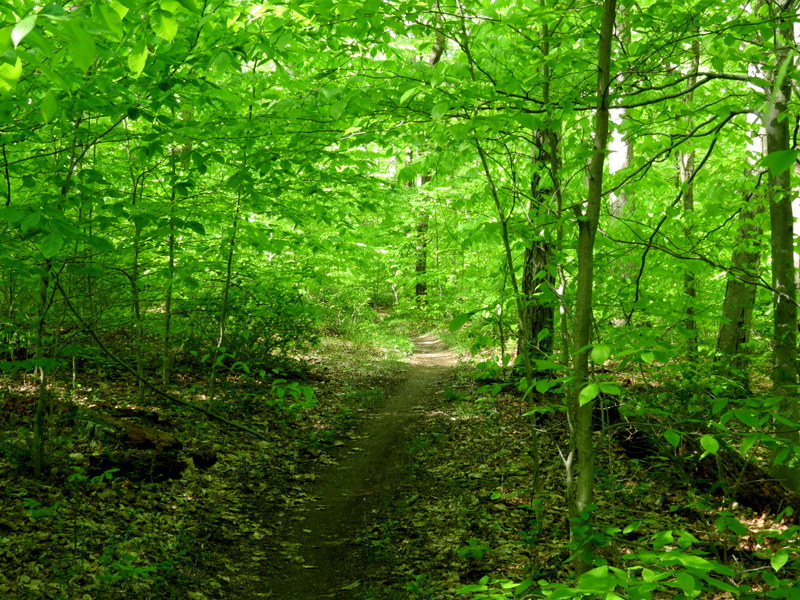
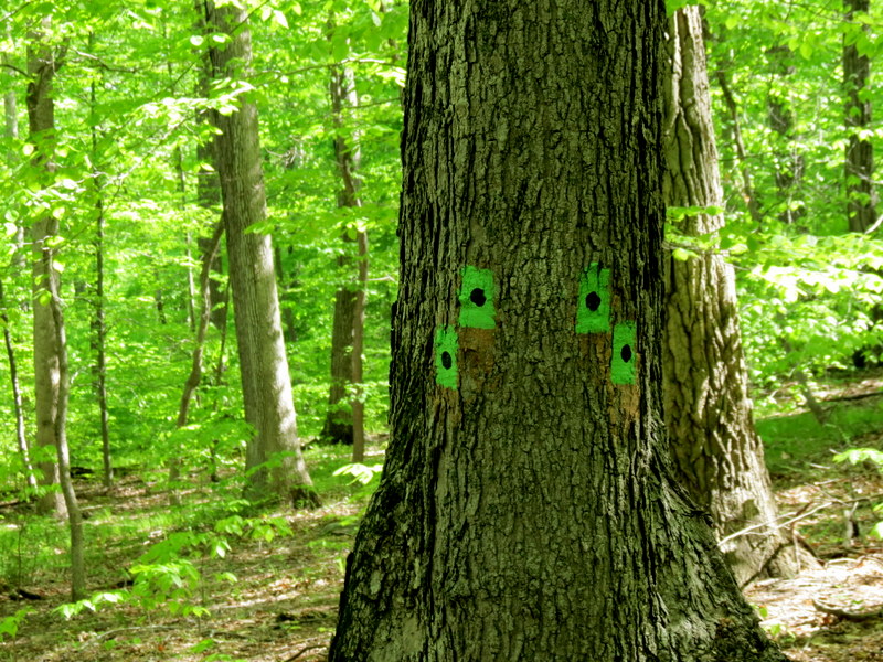
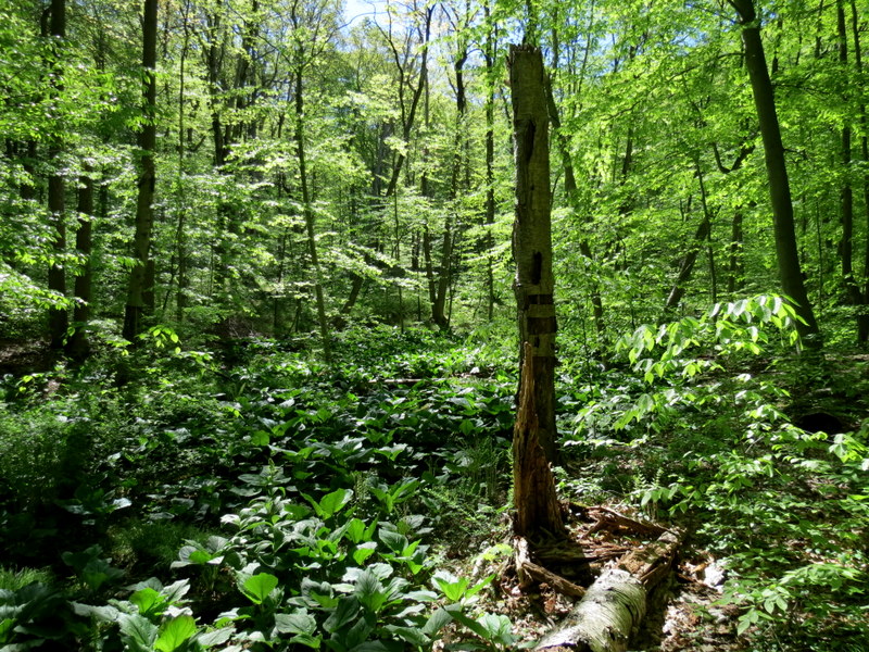
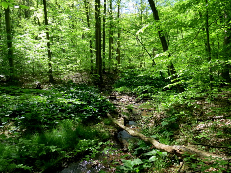
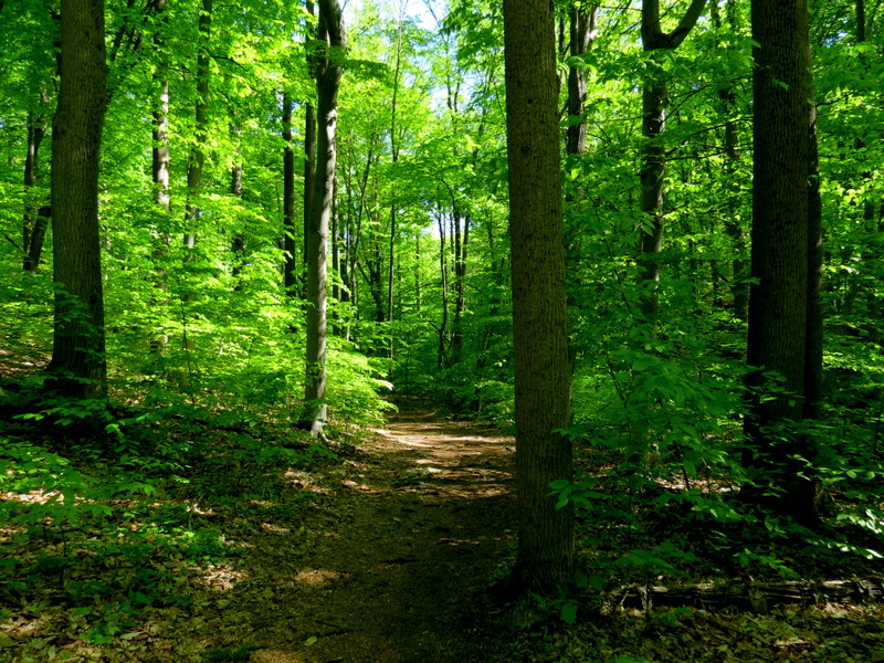
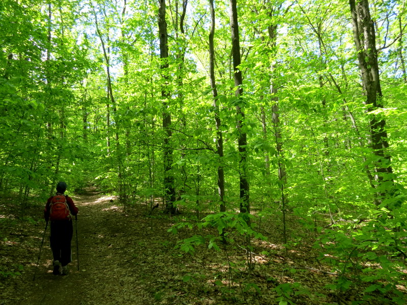
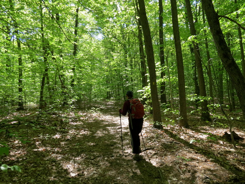
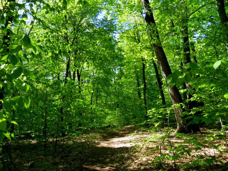
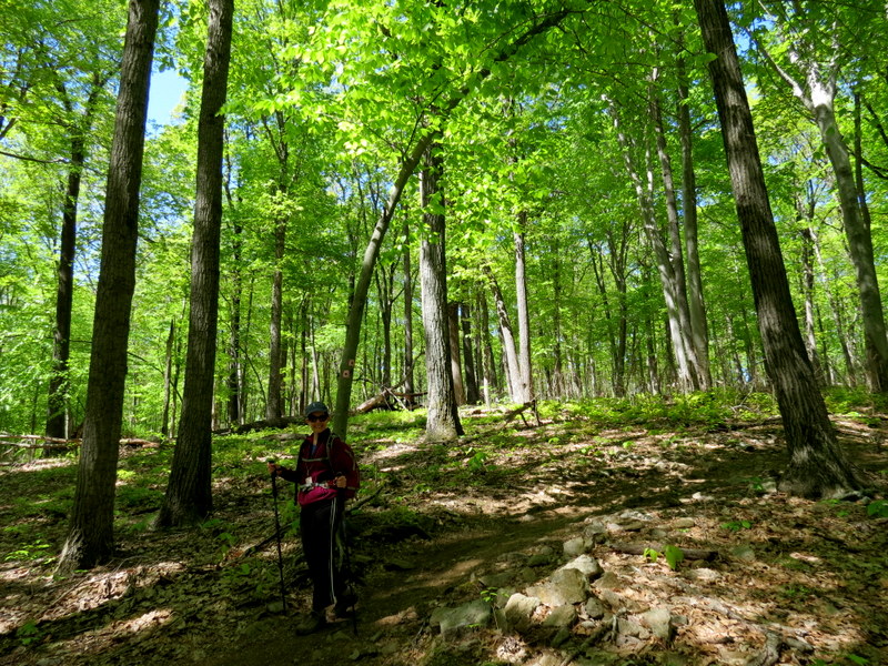
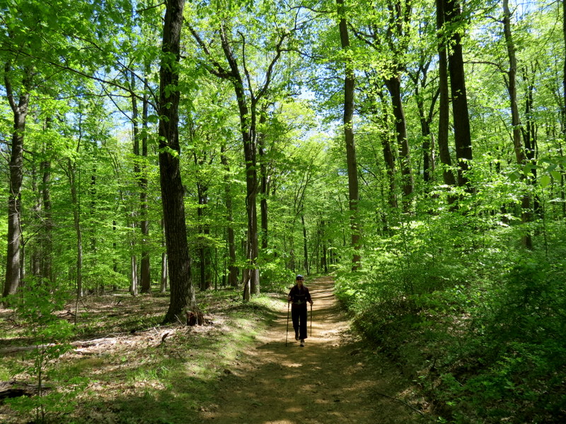
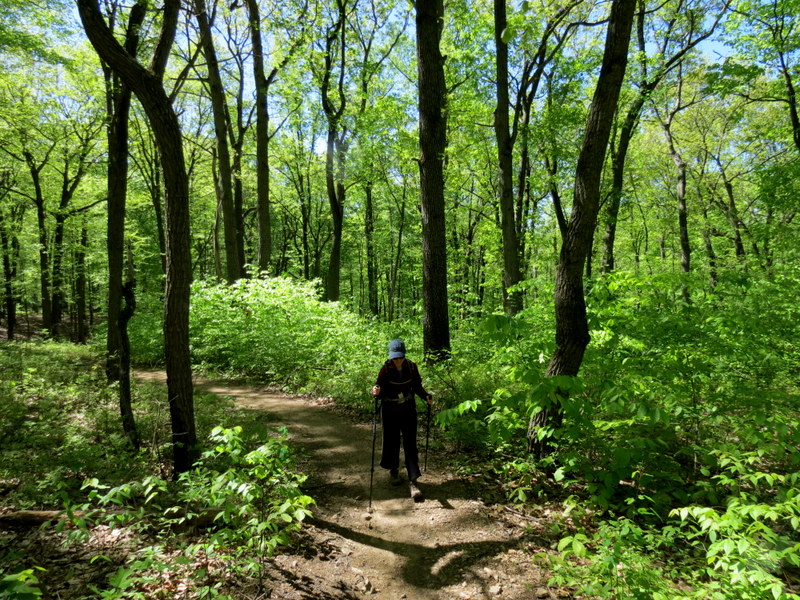
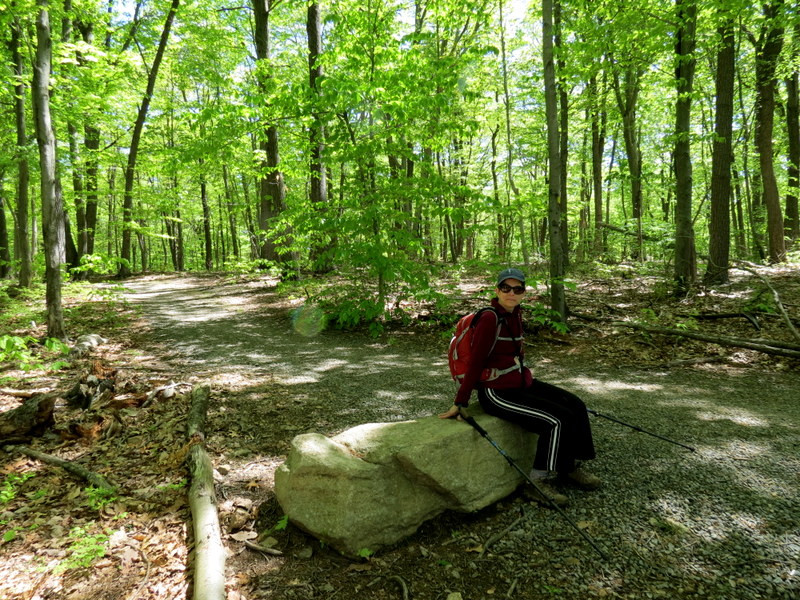
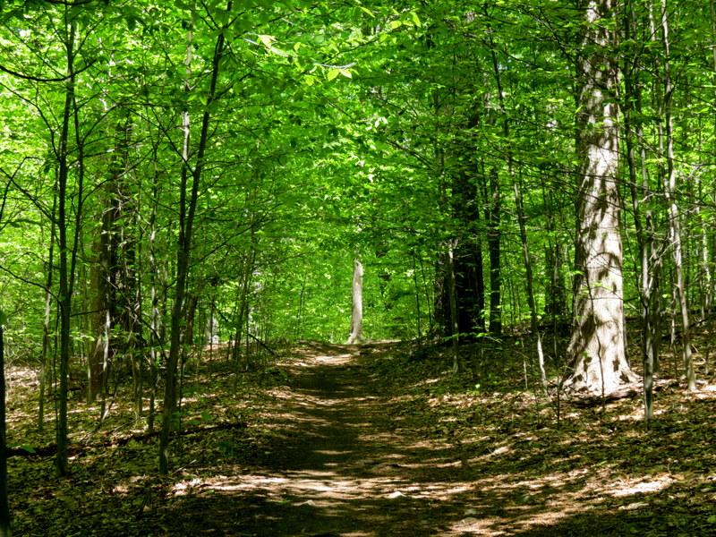
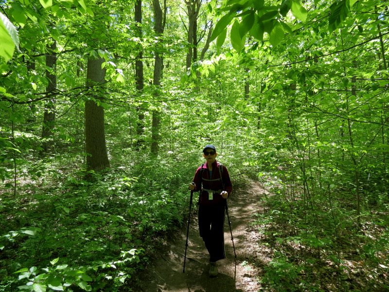
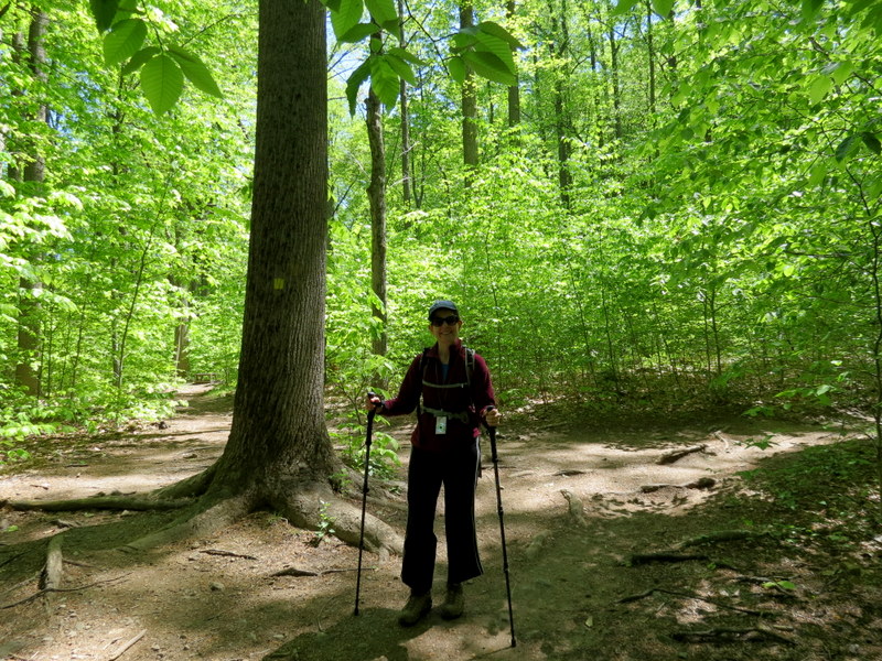
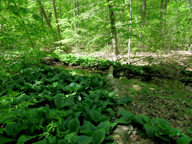
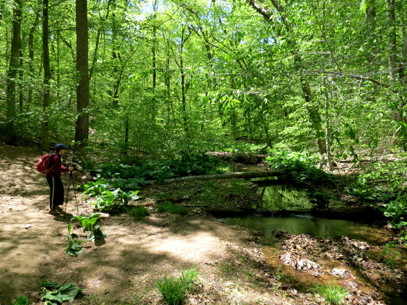
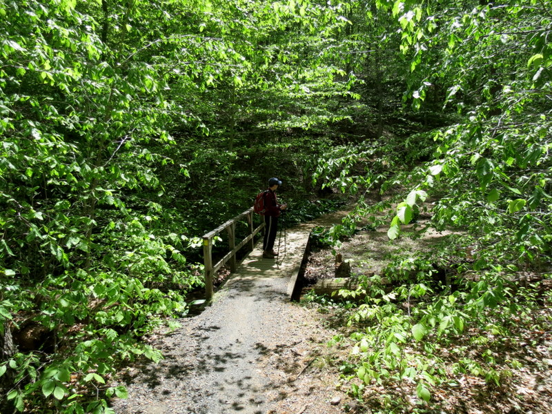
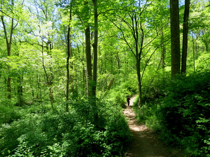
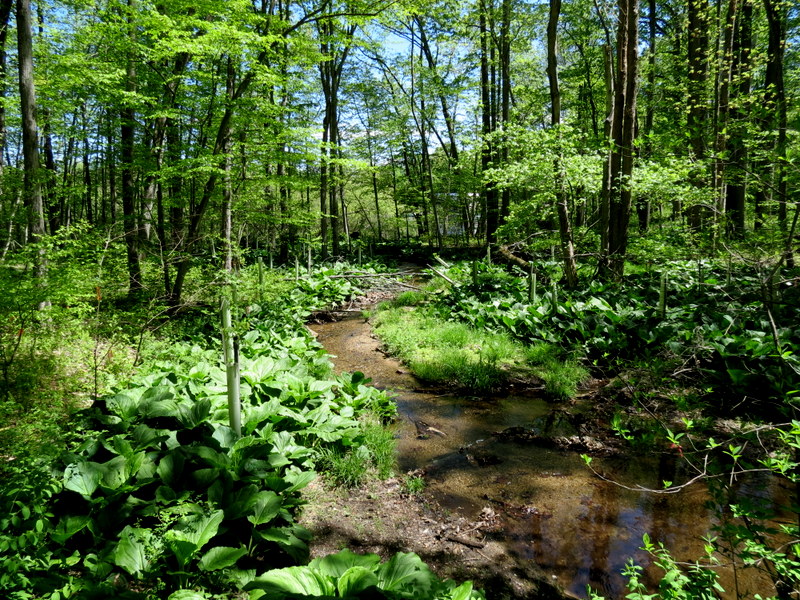
Using this map, we parked in the lot just north of Sunrise Lake and headed south on Patriot's Path, crossing the stream and continuing west on Green. We stayed on Green, heading south, then picked up the Green Dot trail to Red. This we took a bit south before heading north on Green, on the western side of the stream, continuing on Orange (a zig-zagging JORBA-like trail) until we reached Yellow. Here we went south on Yellow, then east on the Pink Dot trail, then south on Red, then west on Red, and then north on Yellow. At the next intersection we headed west on the Yellow Dot trail, before heading north on Yellow, another JORBA-like trail and zig and zagged for quite a bit. Staying west, we crossed our last stream on a bridge, continued north on Yellow, back to Sunrise Lake, where we had lunch before heading back to the car. Total distance was 5.6 miles in just over 3 hours. It was a beautiful day!
|
 |
 |
 |
 |
 |
 |
 |
 |
 |
 |
 |
 |
 |
 |
 |
 |
 |
 |
 |
 |
 |
 |
 |
 |
 |
 |
 |
 |
 |
 |
 |
 |
 |
 |
 |
 |
 |
 |
 |
 |
 |
 |
 |
 |

|
|
Photographs and content copyright © Dan Balogh Web design by Dan Balogh |