 |
|
We last hiked this very varied area back in 2014. We returned today to hike the trails that we
didn't hike at the time.
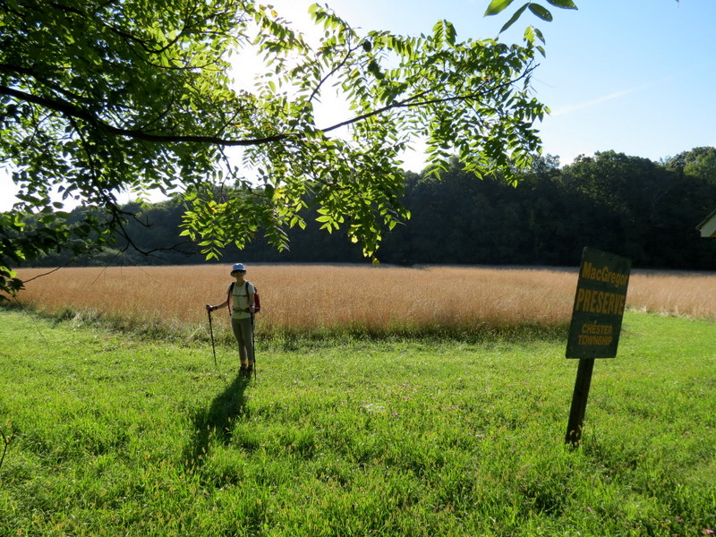
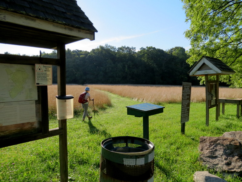
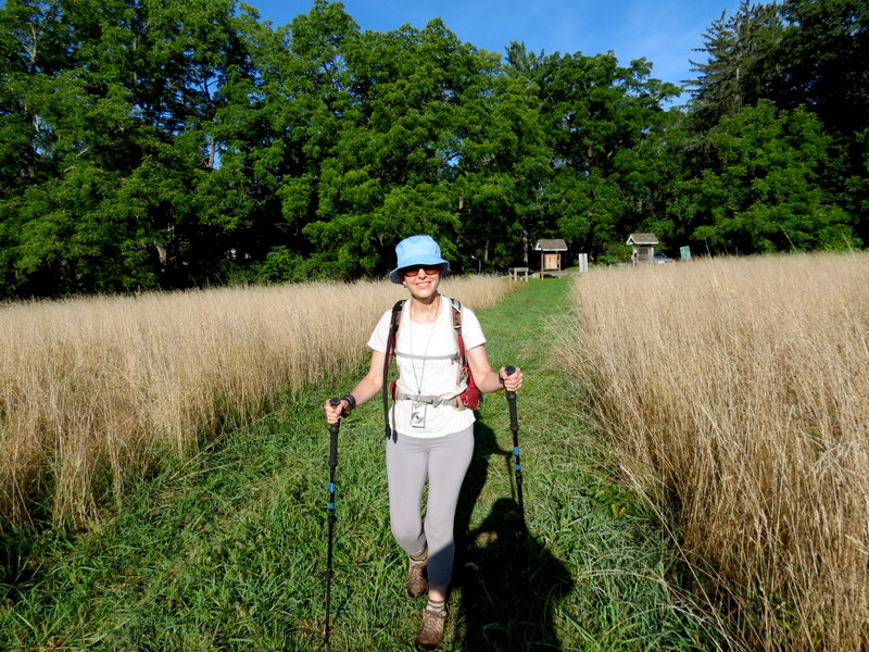
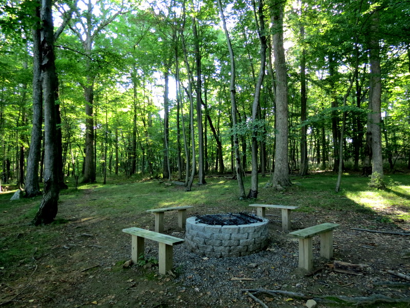
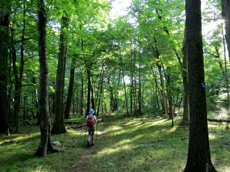
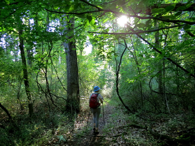
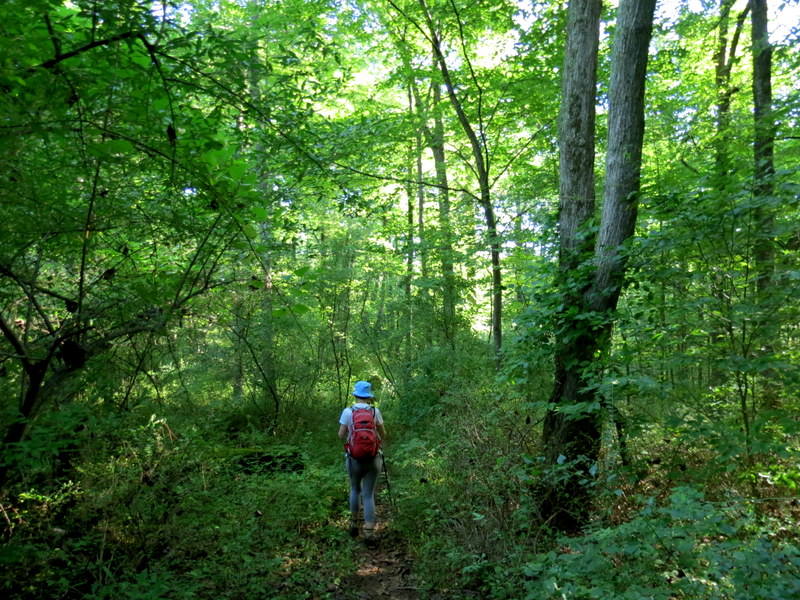
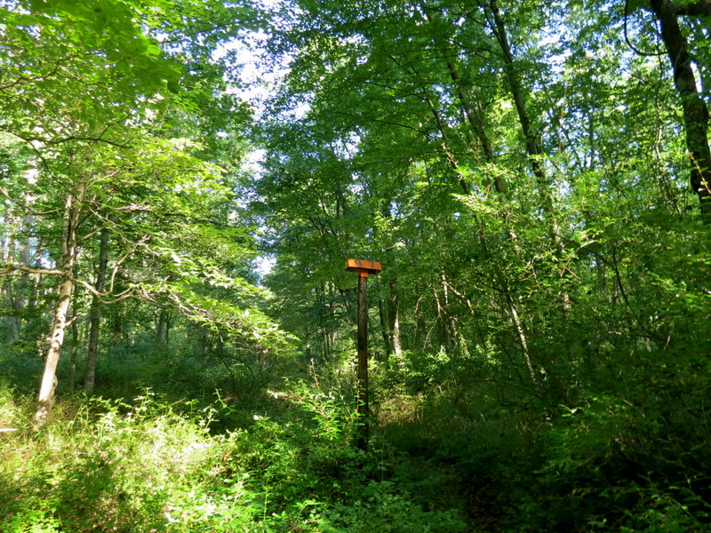
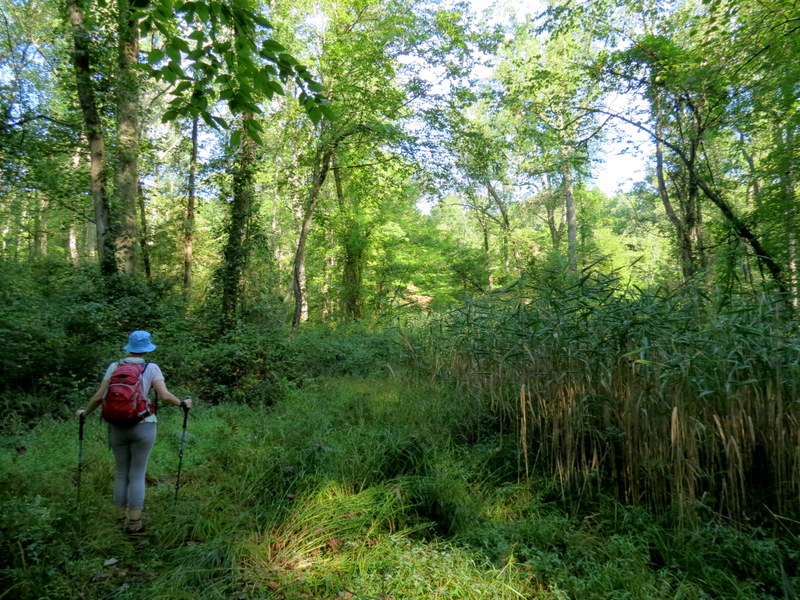
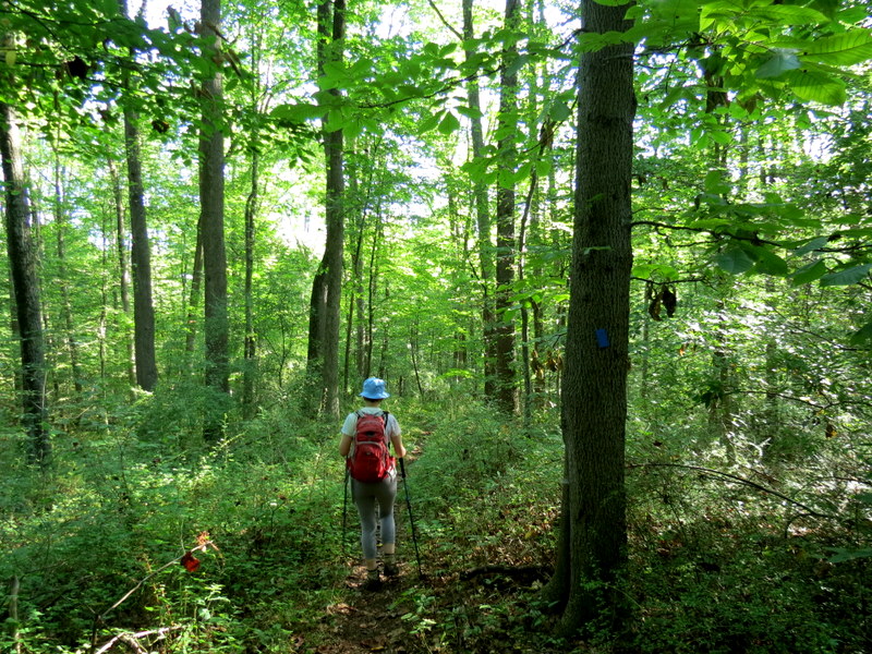
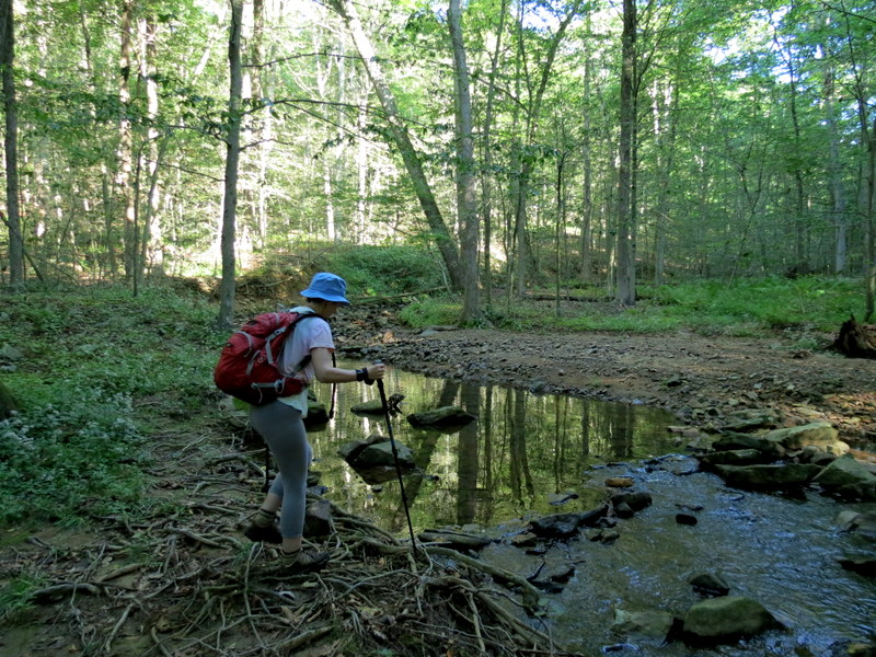
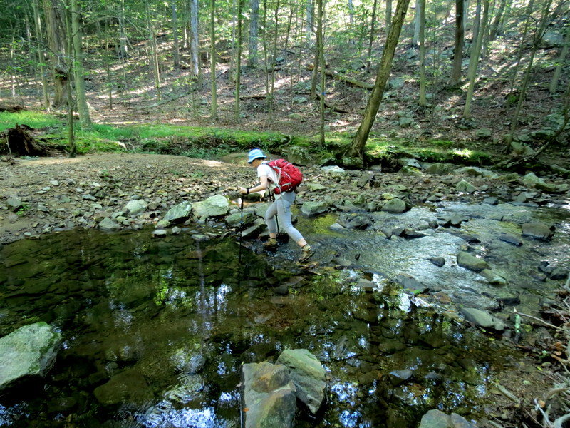
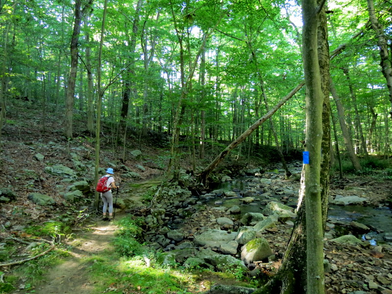
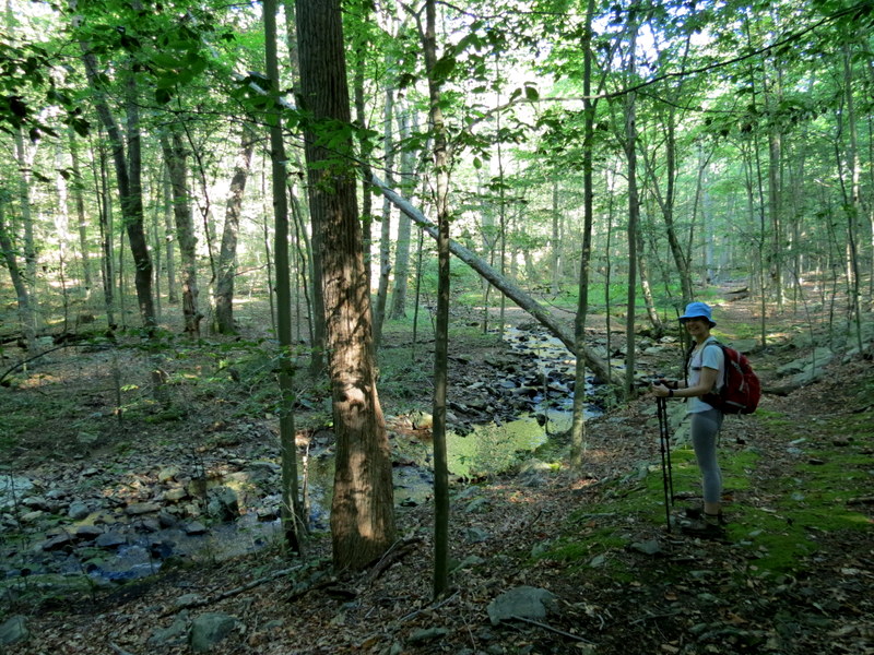
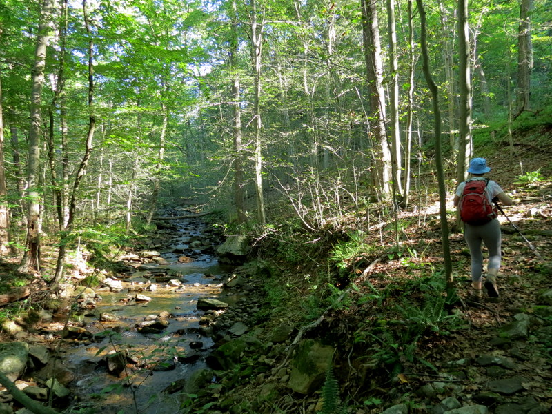
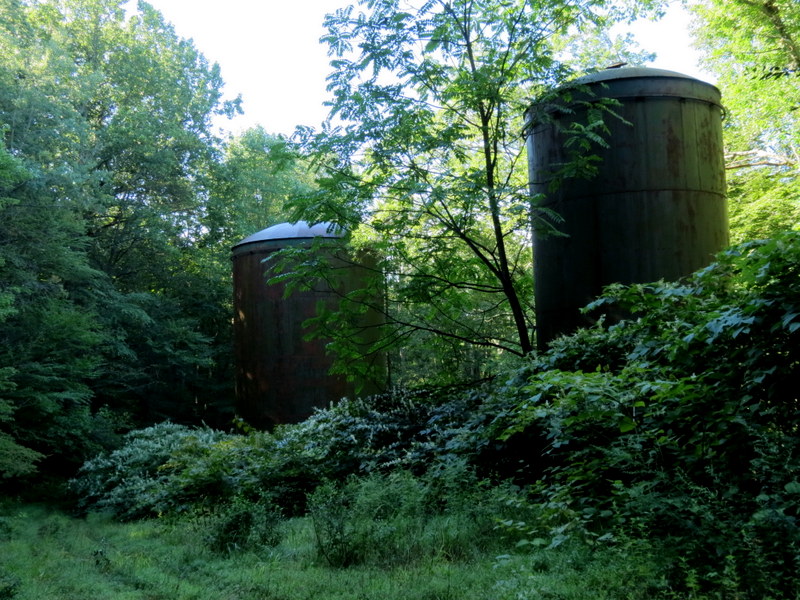
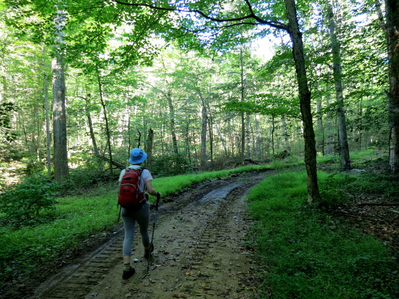
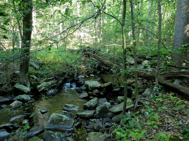
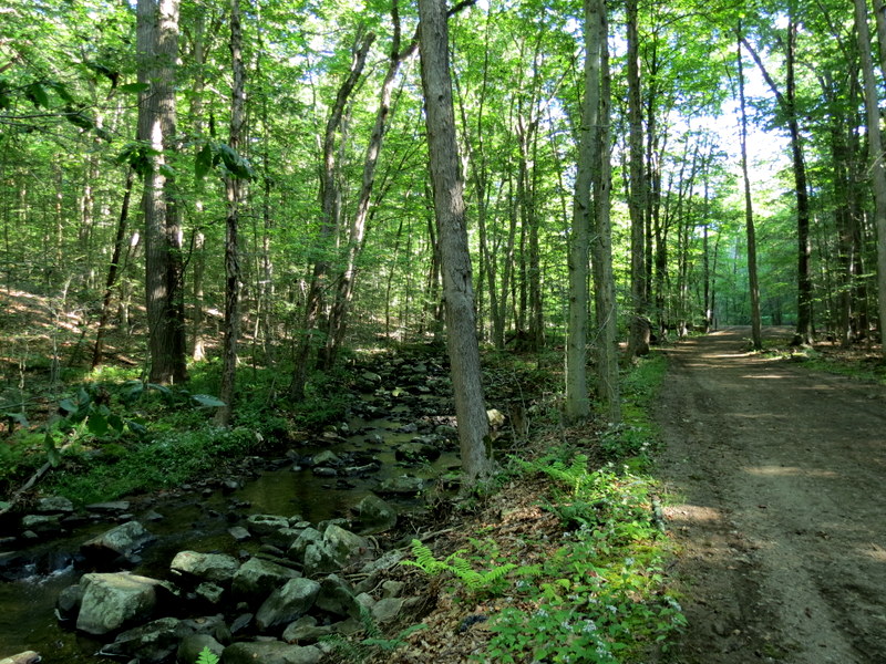
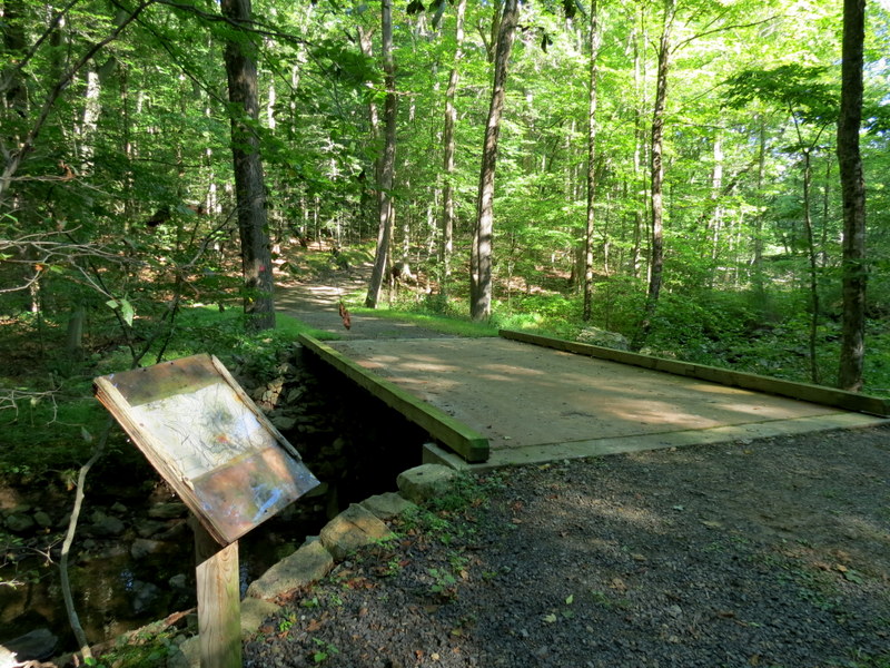
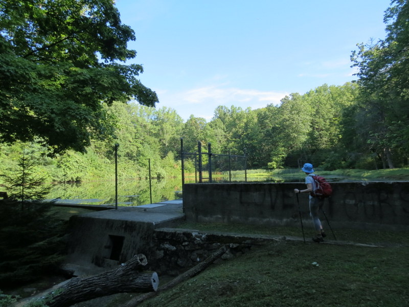
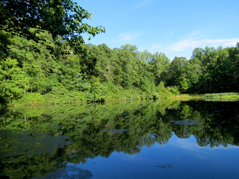
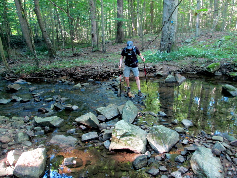
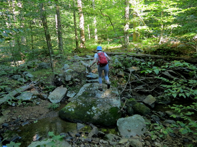
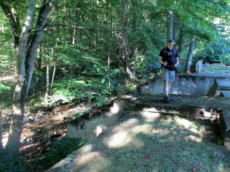
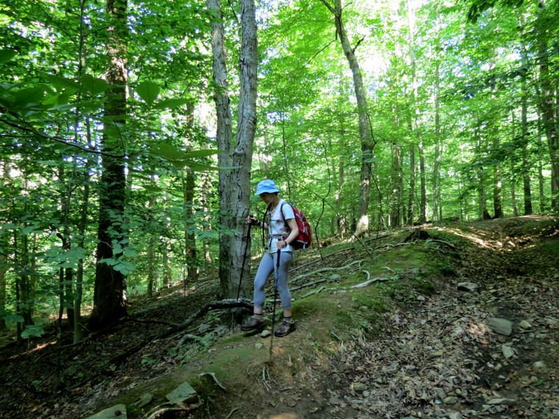
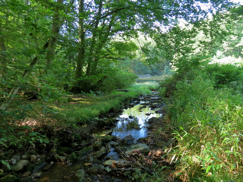
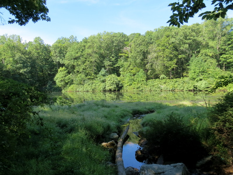
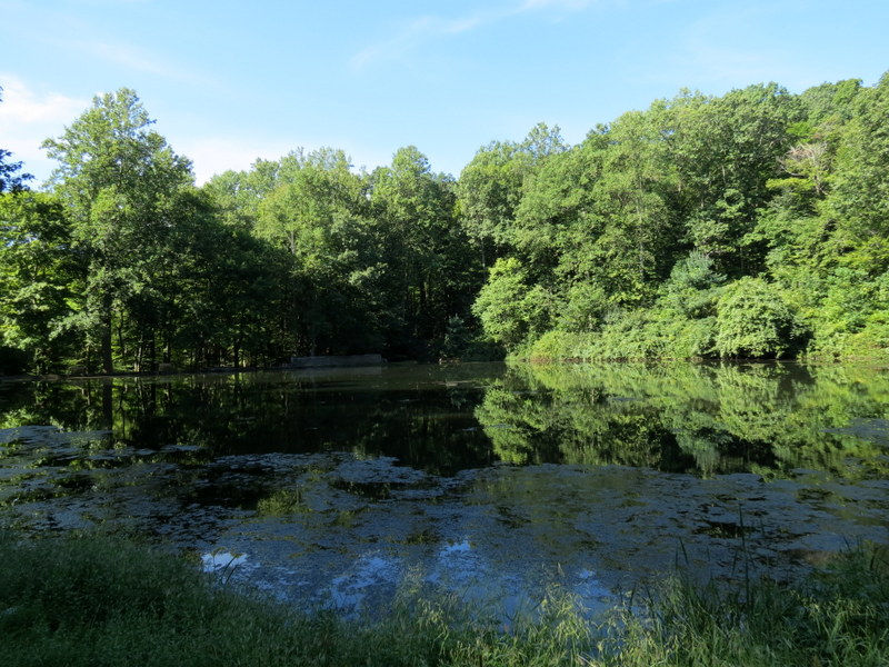
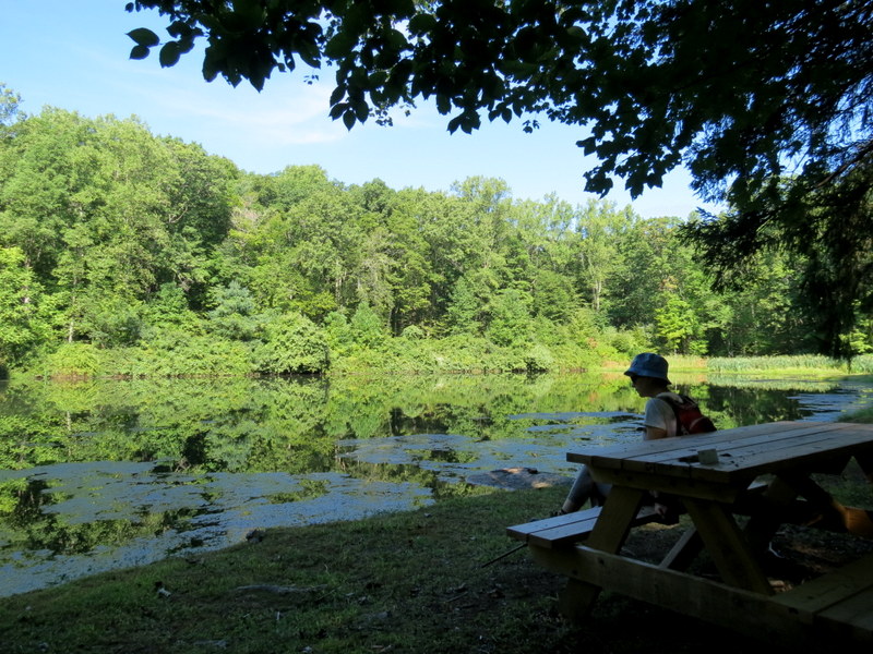
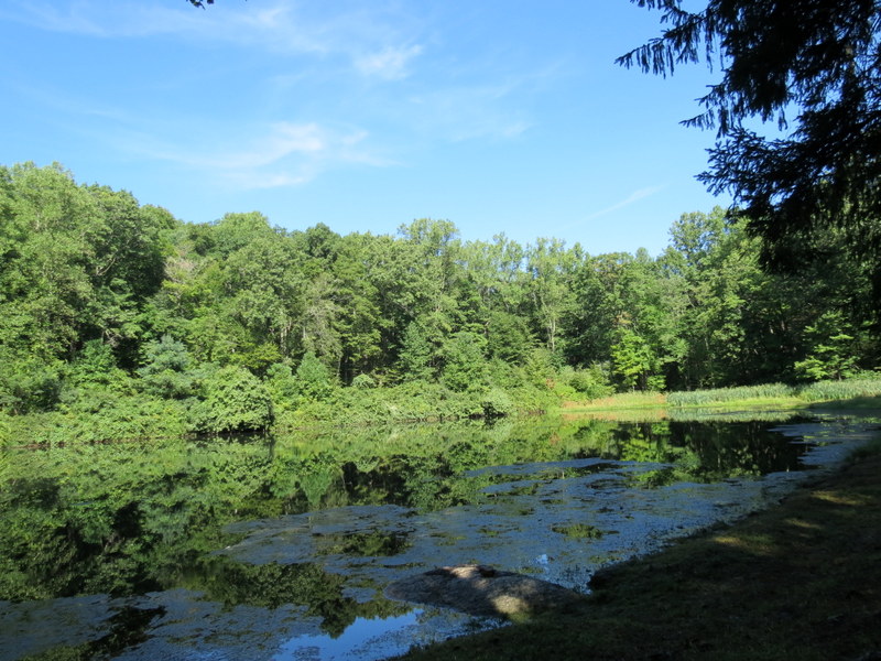
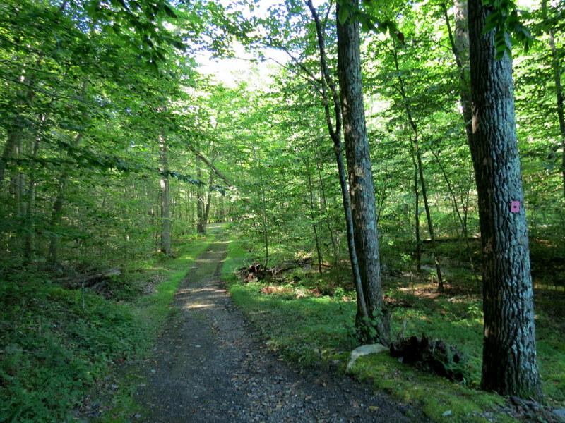
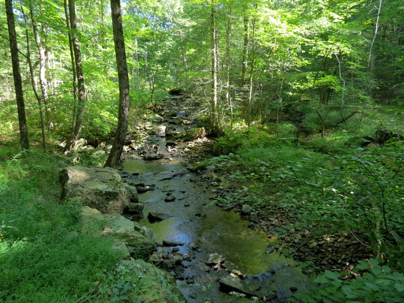
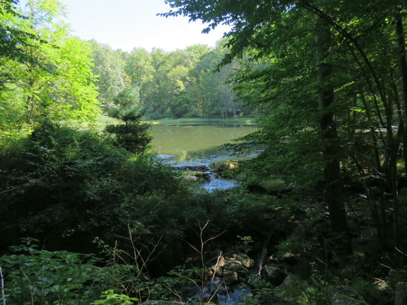
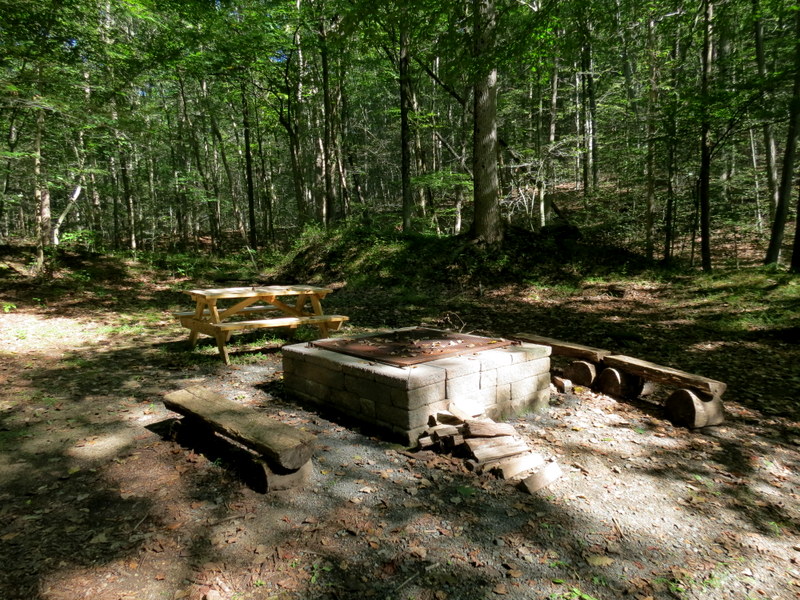
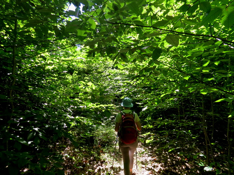
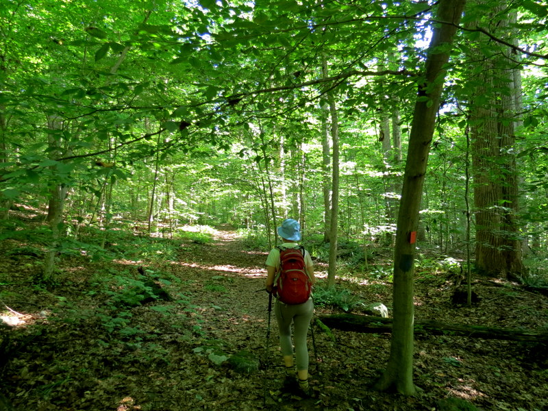
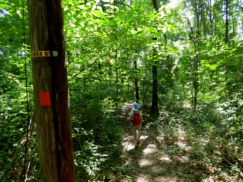
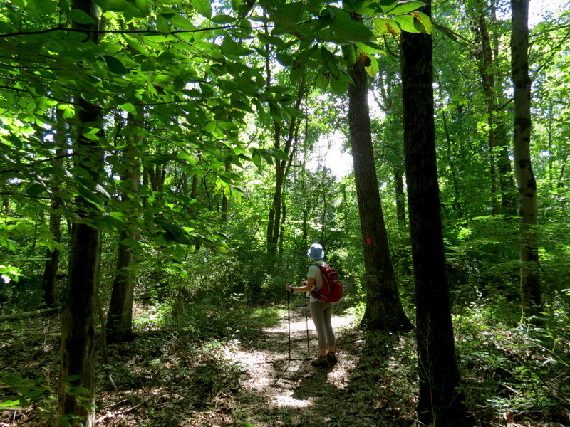
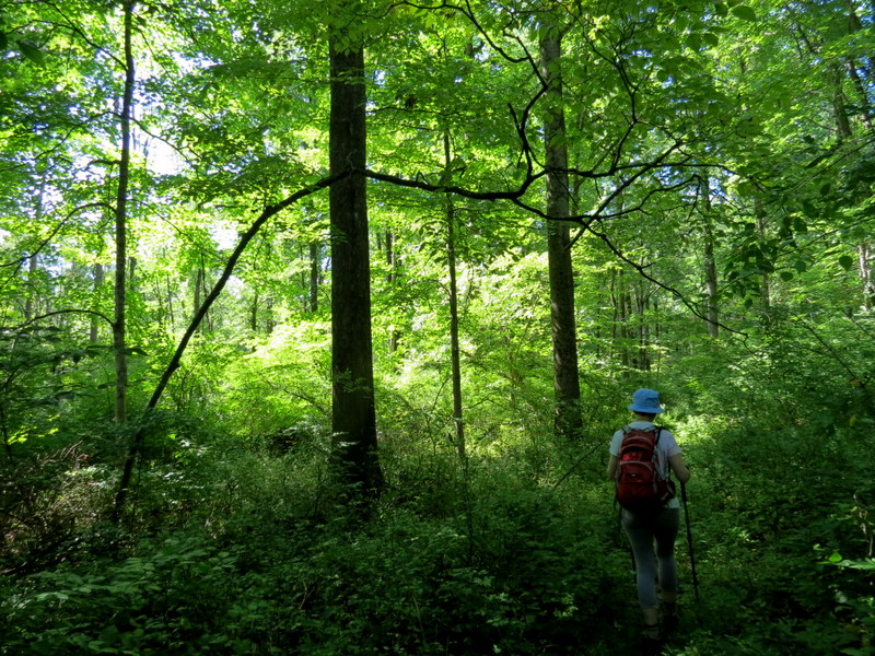
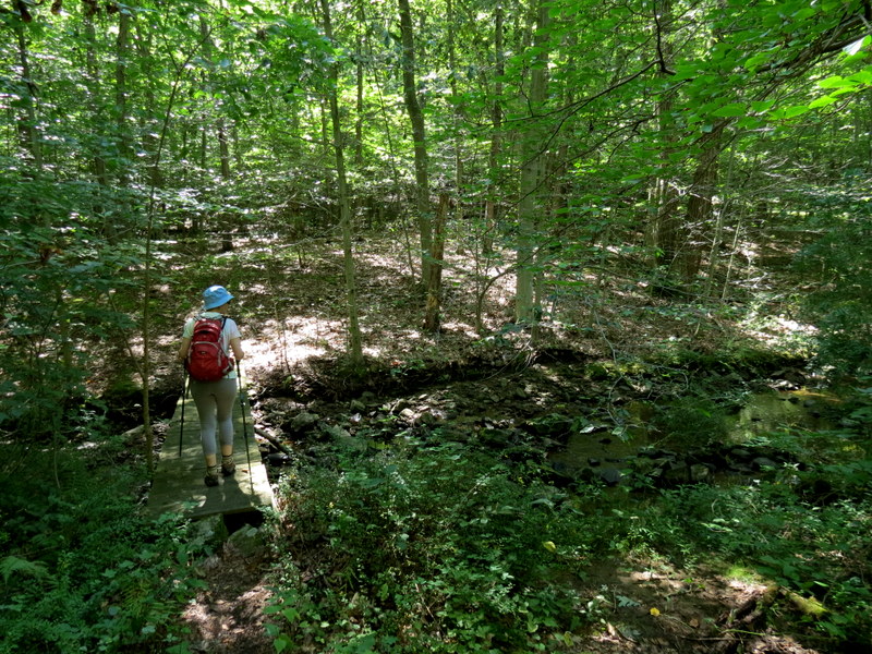
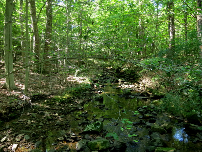
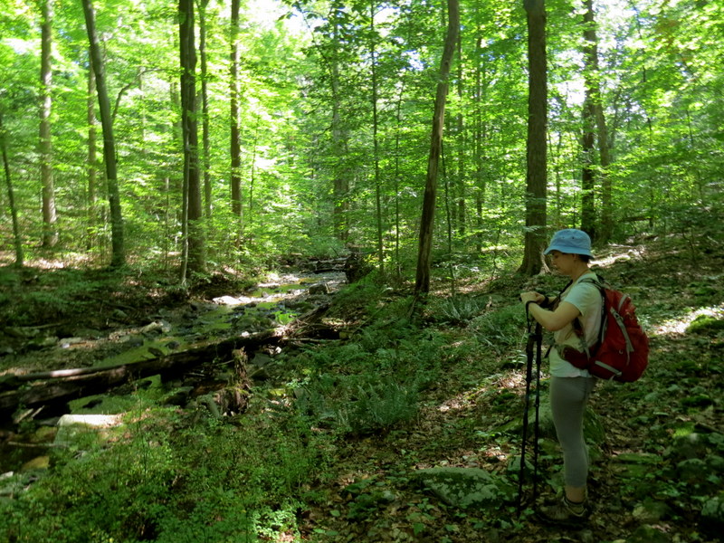
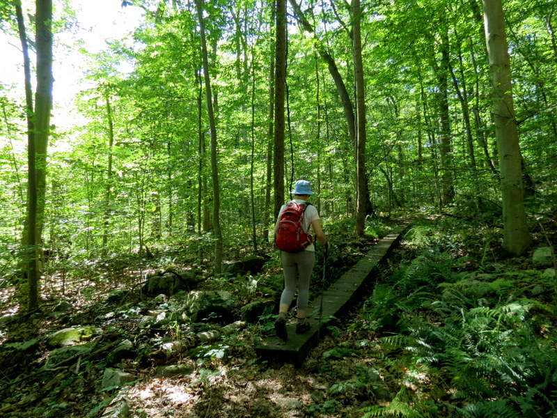
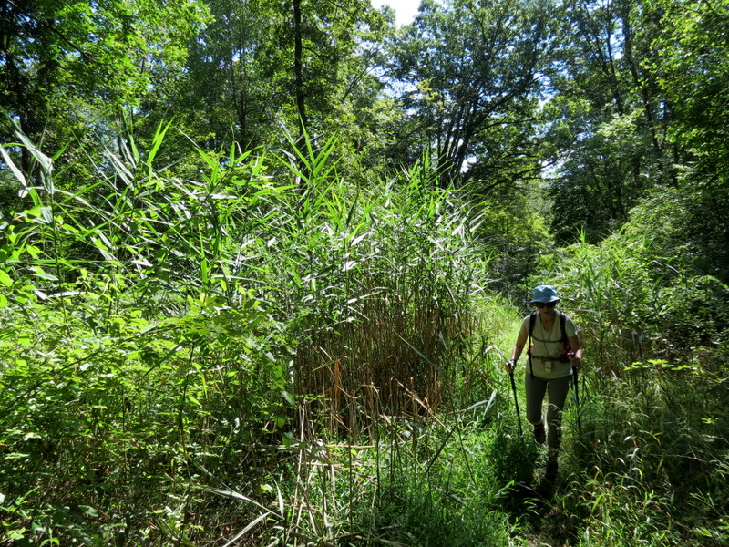
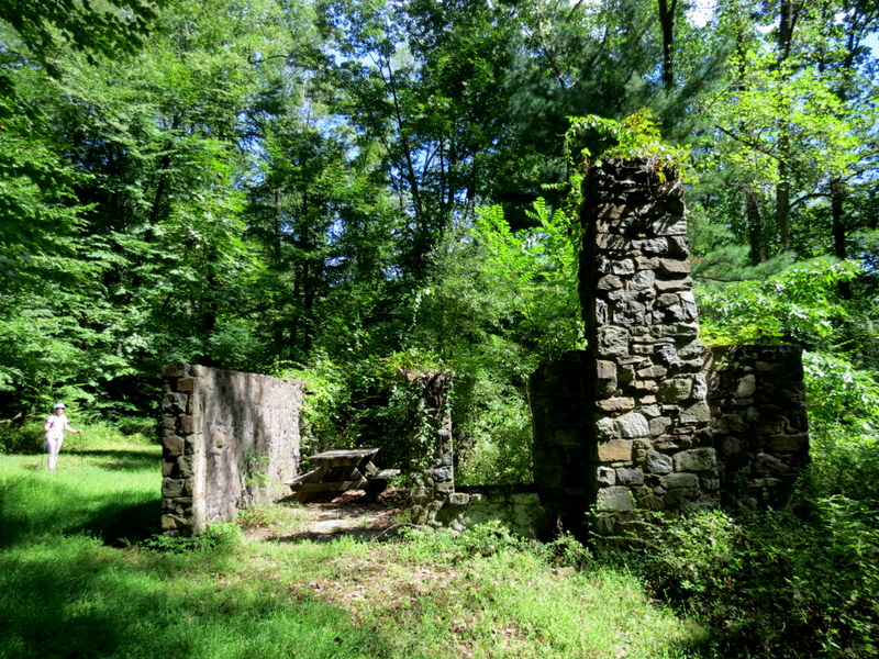
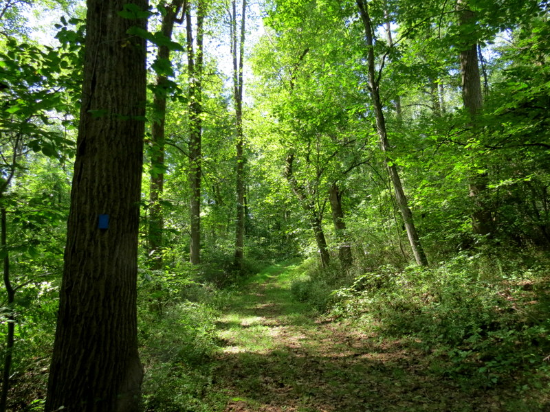
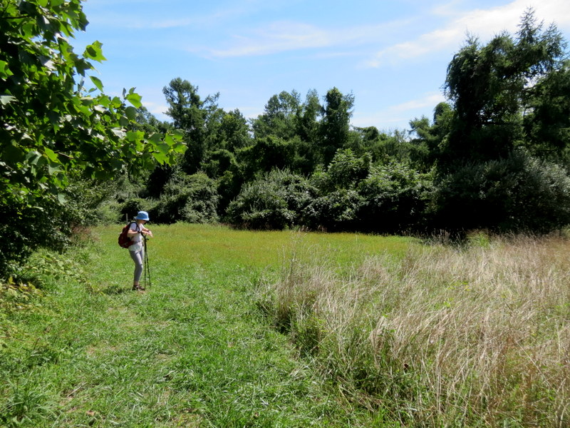
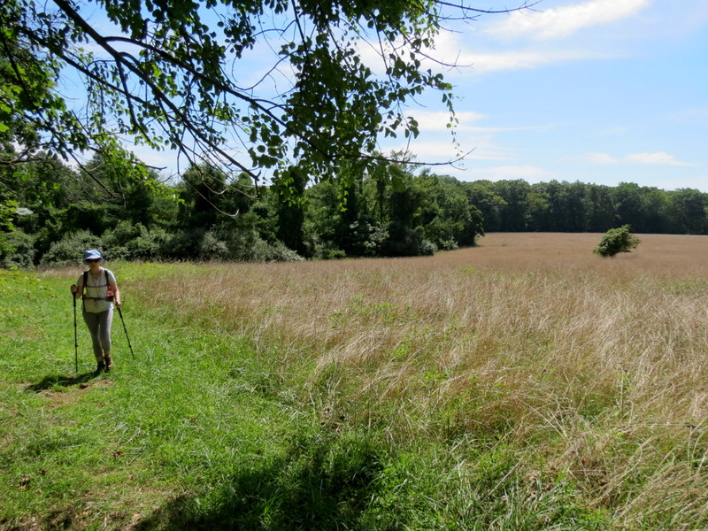
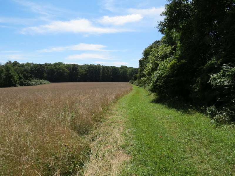
Using this map, we parked in the lot on Old Chester Gladstone Road with the intent of hiking the southern part of the blue trail, the majority of the yellow trail, the white trail, and parts of purple and red, all trail segments that we hadn't yet hiked. But, as is the case with many areas over the years, we quickly learned that some trails are now impassable. We first noticed that the blue trail no longer begins from the lot (as seen on the map). We followed the mowed path which cuts through the field, eventually entering the woods to a nice fire pit (with new benches). This is where we picked up blue. We took that NE to yellow, with the intent of hiking all of yellow, but soon discovered that it had become quite overgrown. We stopped at a swamp area with no chance of passage, turning back to blue, which we then continued on north. We did manage to hike the white trail for the first time, as well as all the parts of red and purple that we hadn't hiked before. Total distance hiked today was nearly 6 miles in three and a half hours. (Click on the thumbnail to bring up a bigger image in a pop-up window)
|
 |
 |
 |
 |
 |
 |
 |
 |
 |
 |
 |
 |
 |
 |
 |
 |
 |
 |
 |
 |
 |
 |
 |
 |
 |
 |
 |
 |
 |
 |
 |
 |
 |
 |
 |
 |
 |
 |
 |
 |
 |
 |
 |
 |
 |
 |
 |
 |
 |
 |
 |
 |

|
|
Photographs and content copyright © Dan Balogh Web design by Dan Balogh |