 |
|
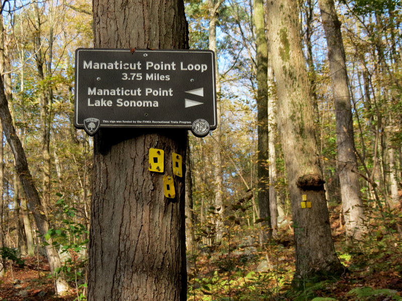
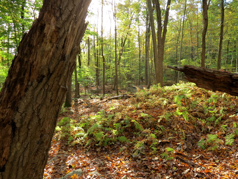
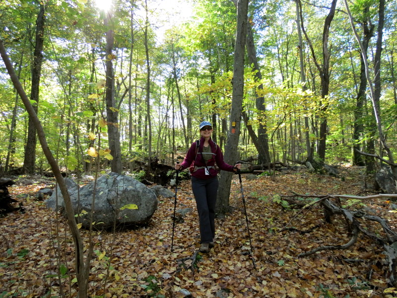
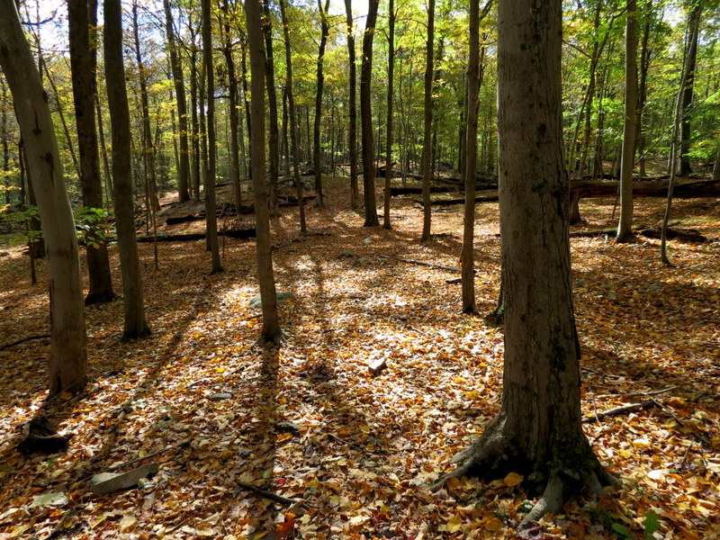
We hiked to Manaticut Point and Lake Sonoma from Crescent Drive way back in 2010. At that time,
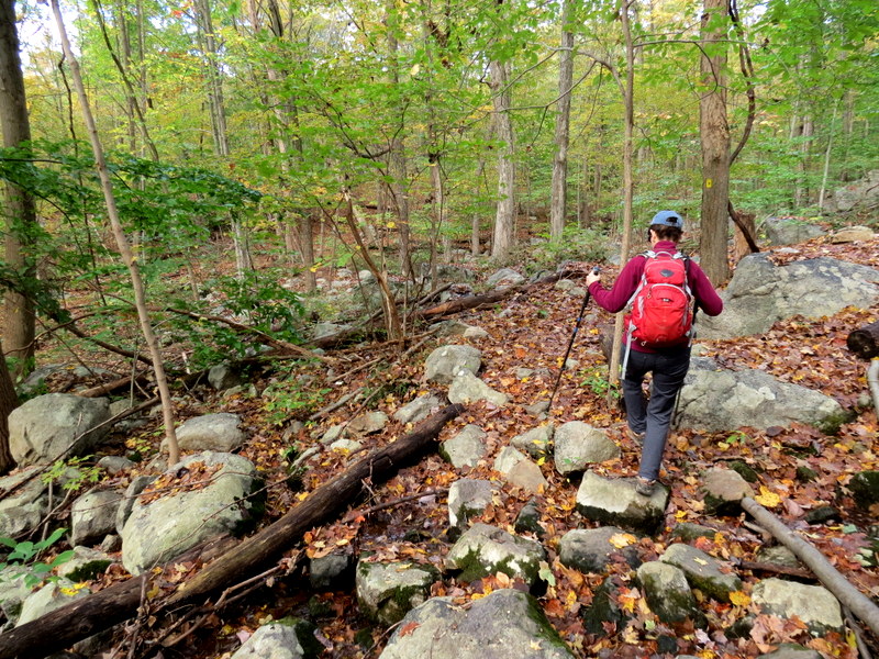
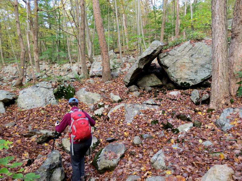
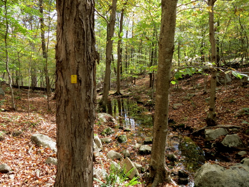
the yellow trail was the existing woods road, as you can see in those photos. Today we returned to hike up to the point once again from Crescent Drive, but on a
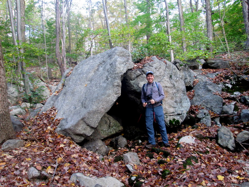
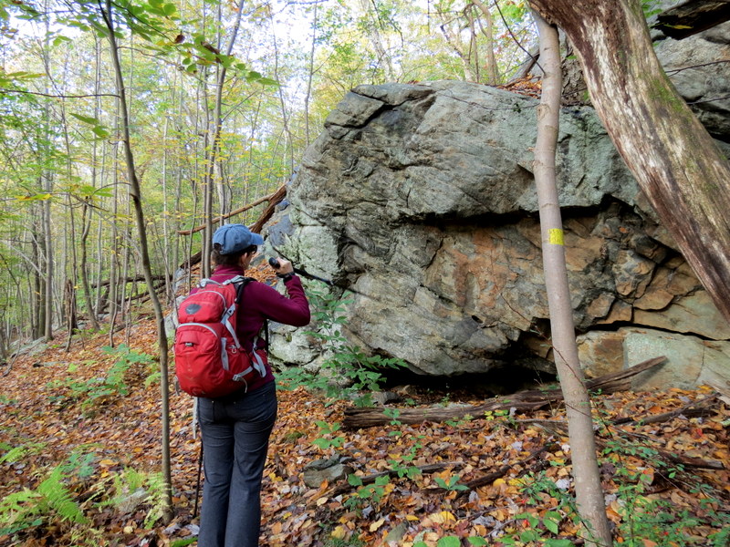
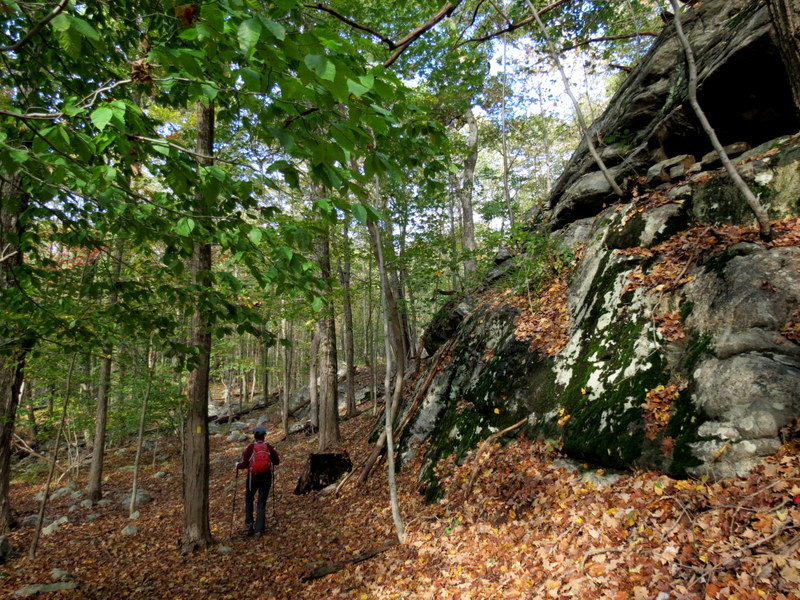
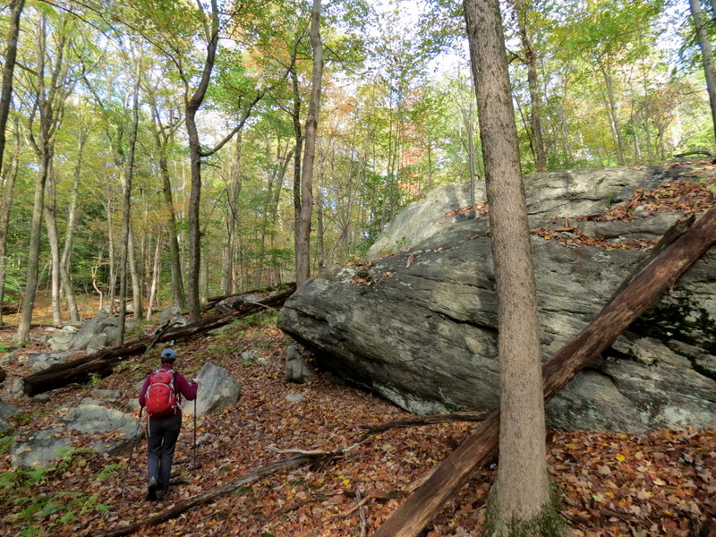
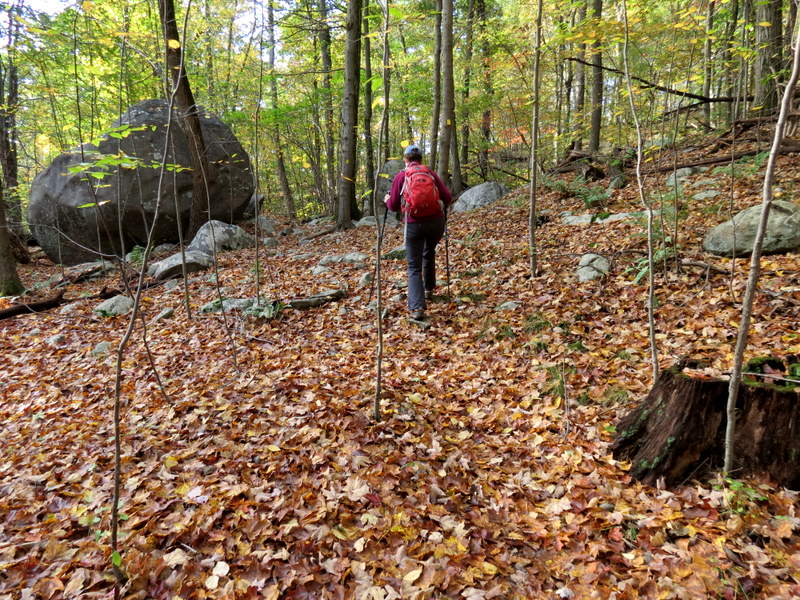
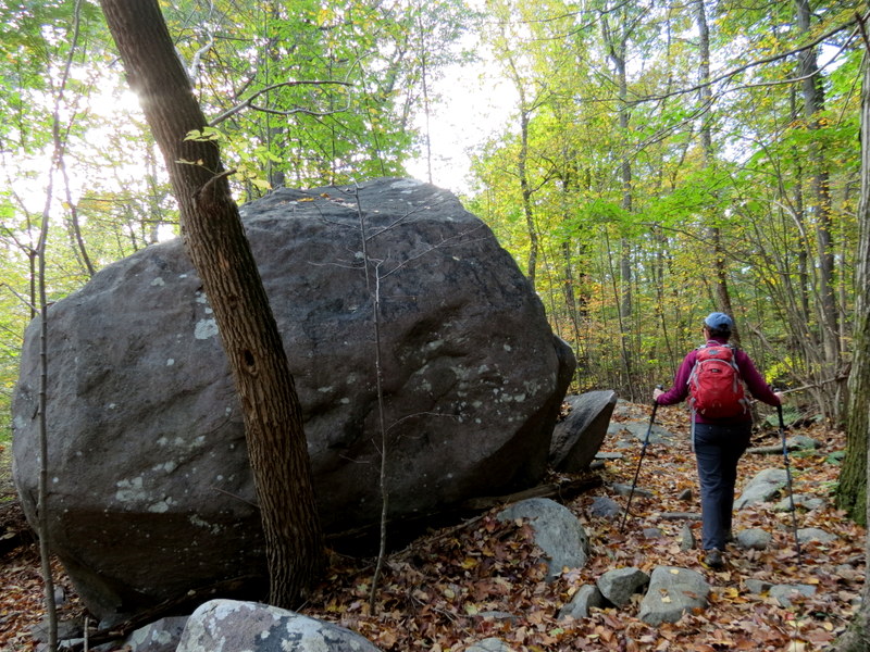
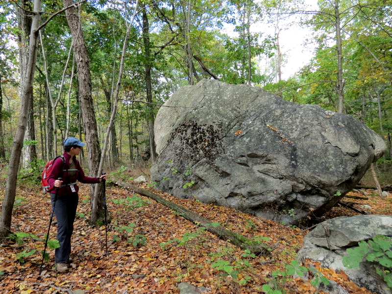
seemingly new trail that begins at an amazing glacial erratic.
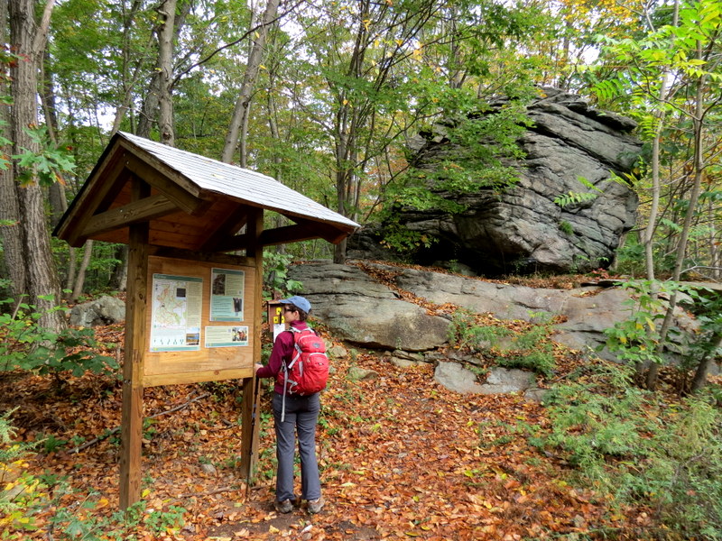
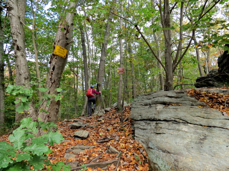
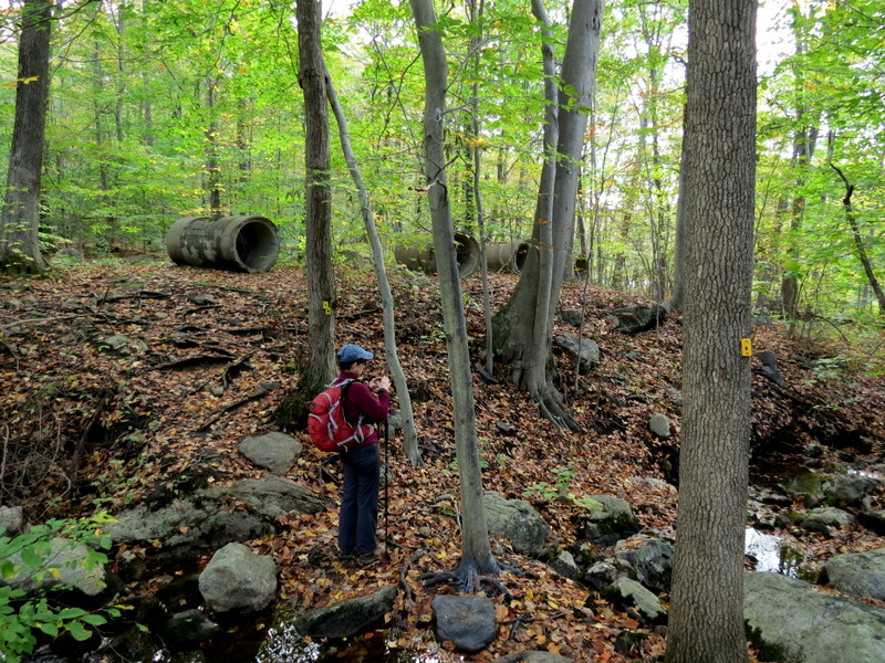
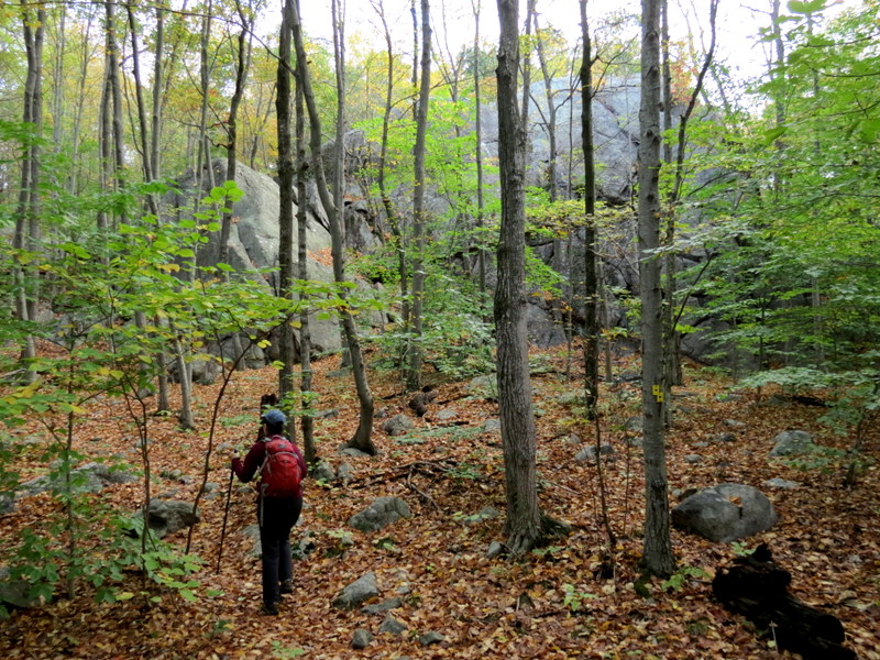
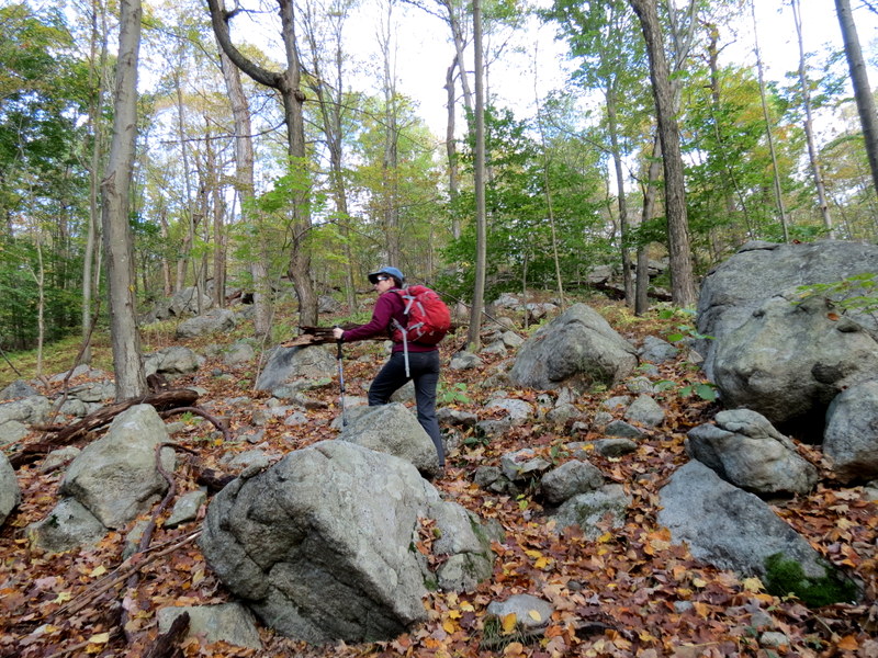
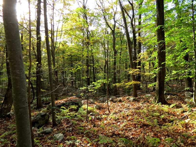
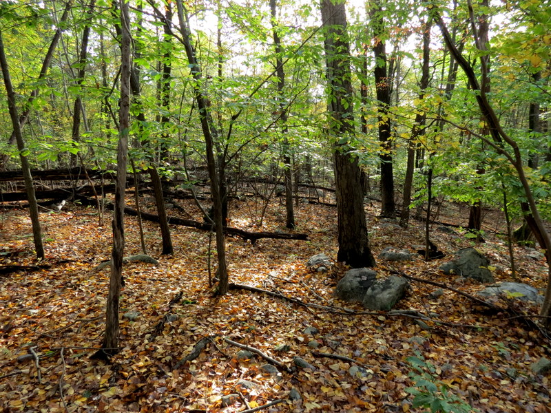
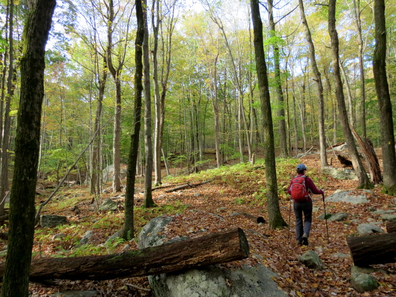
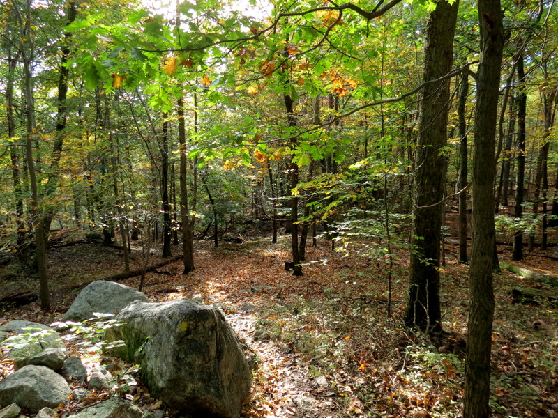
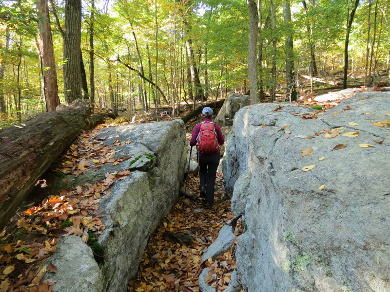
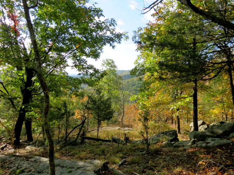
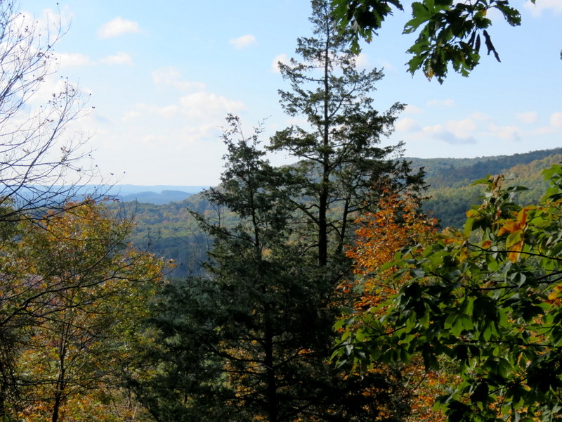
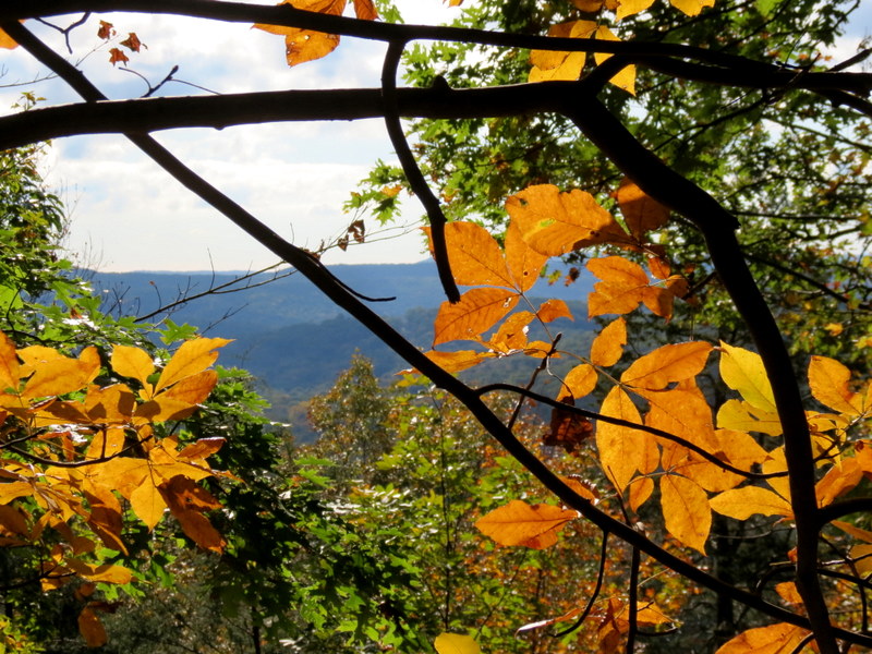
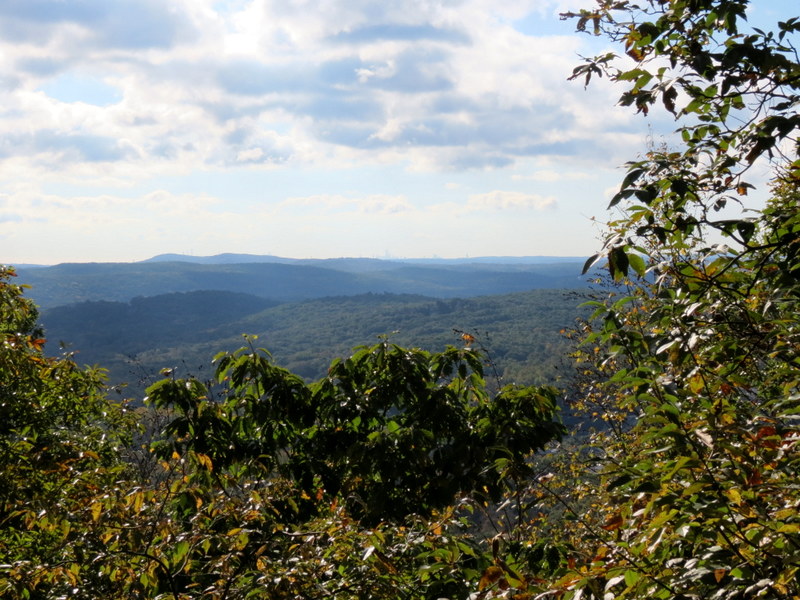
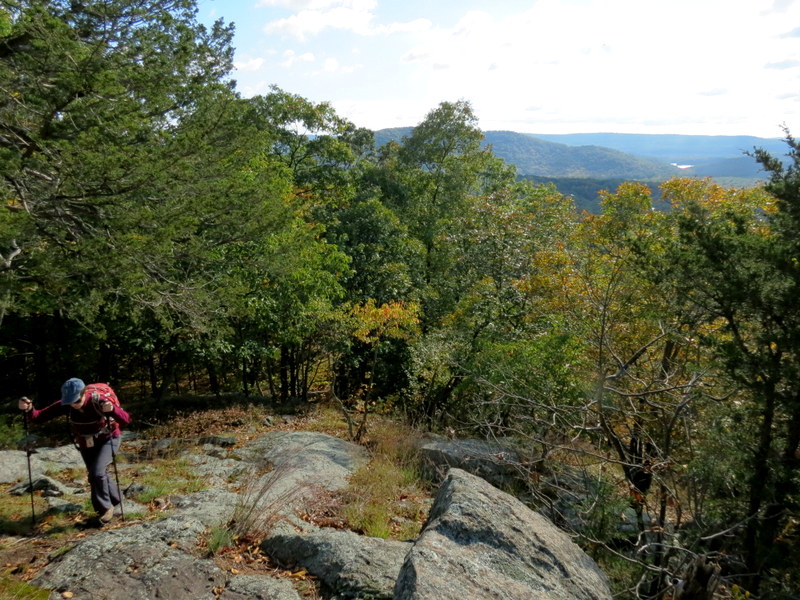
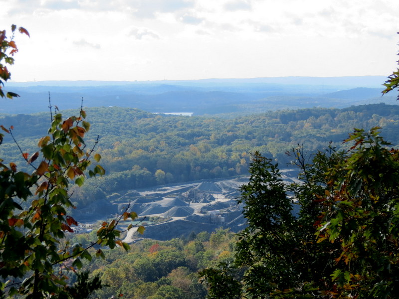
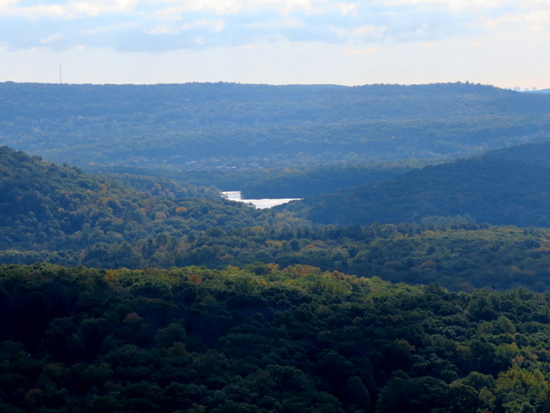
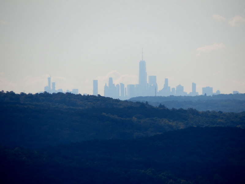
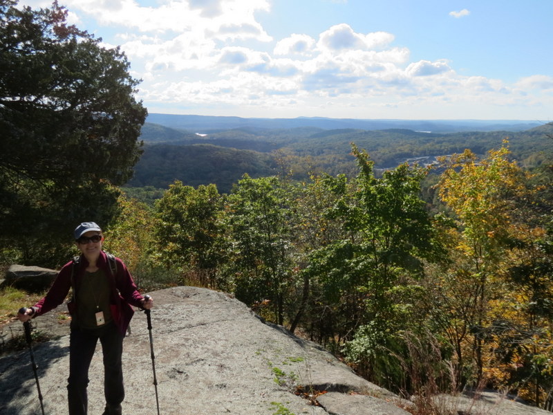
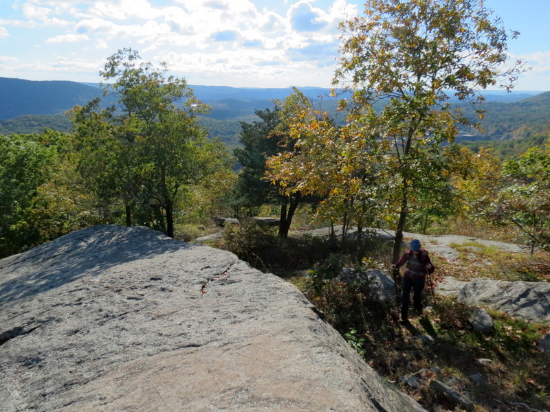
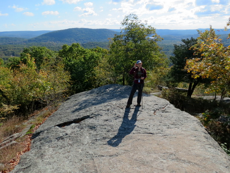
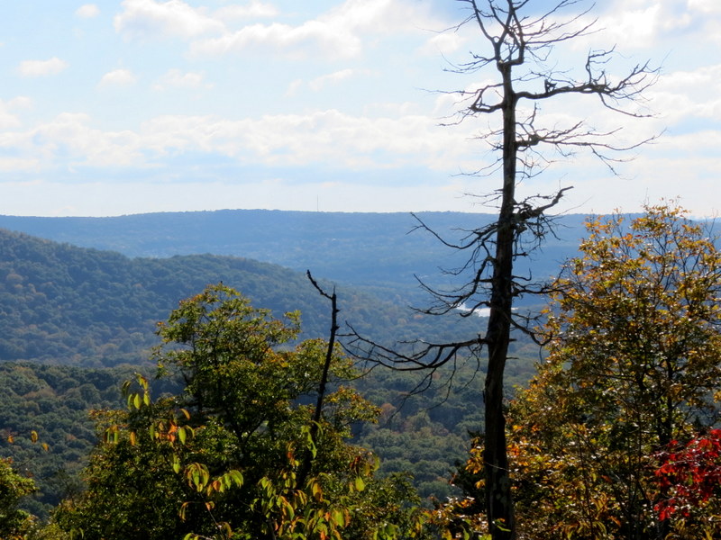
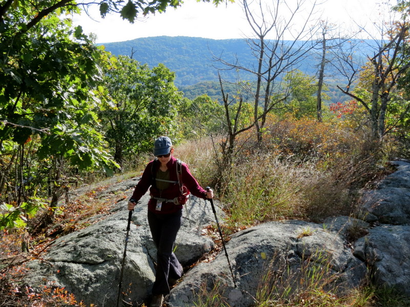
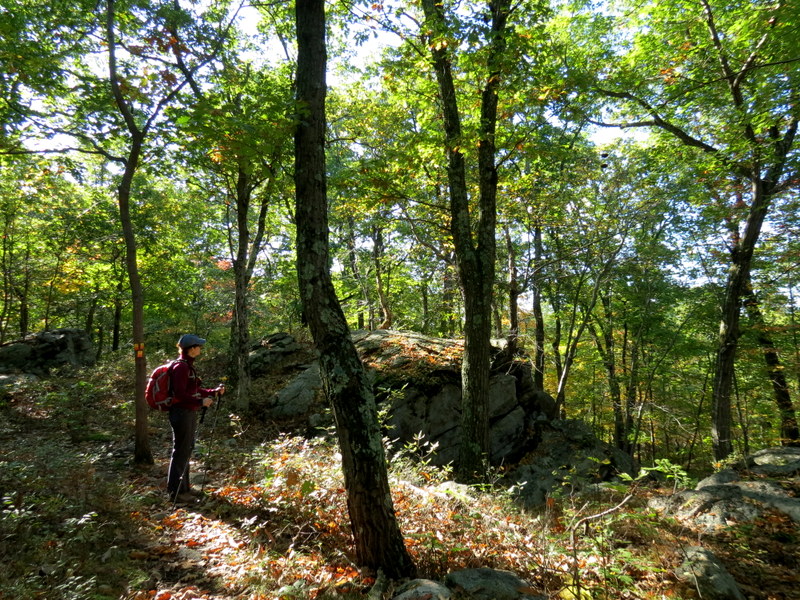
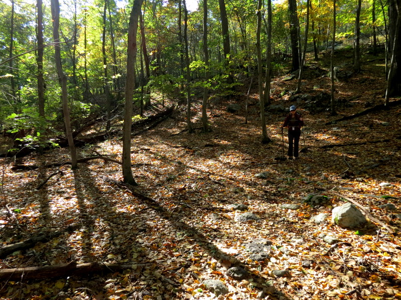
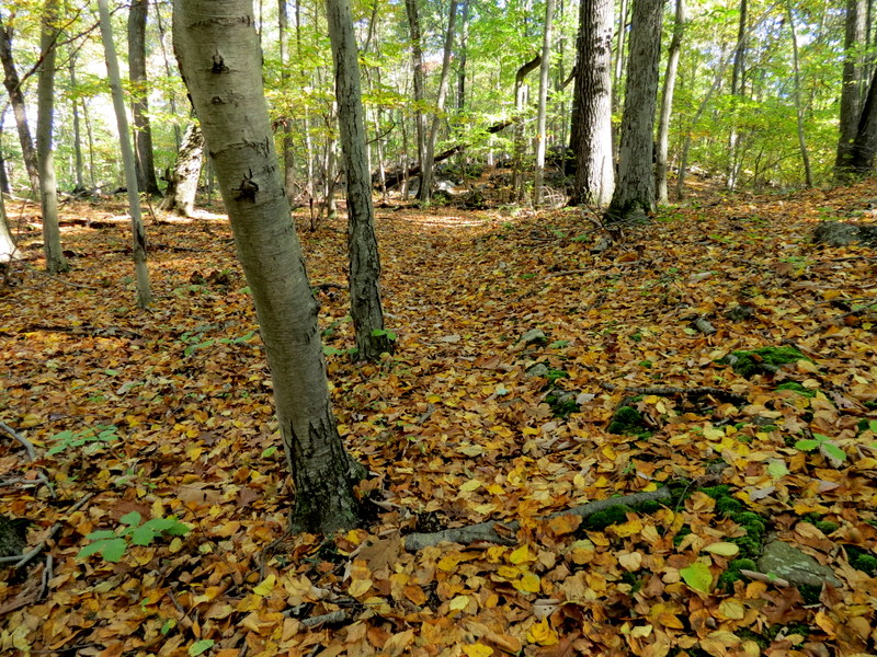
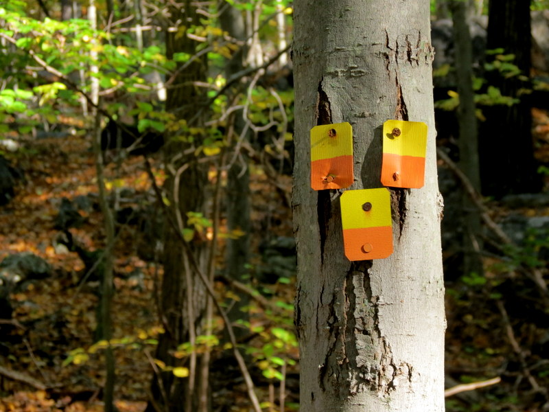
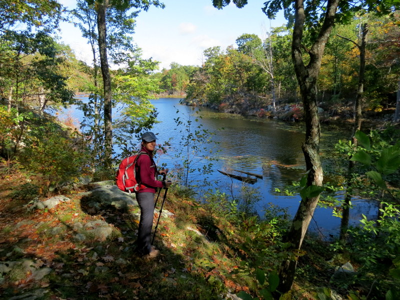
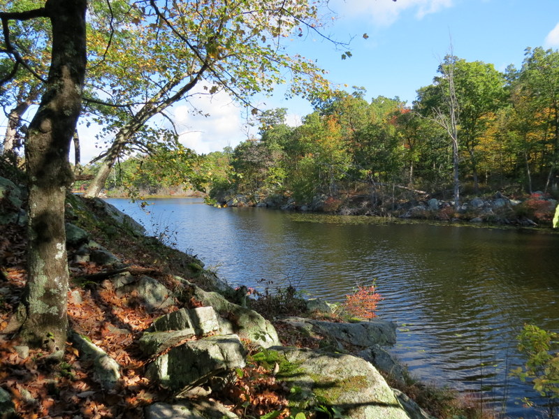
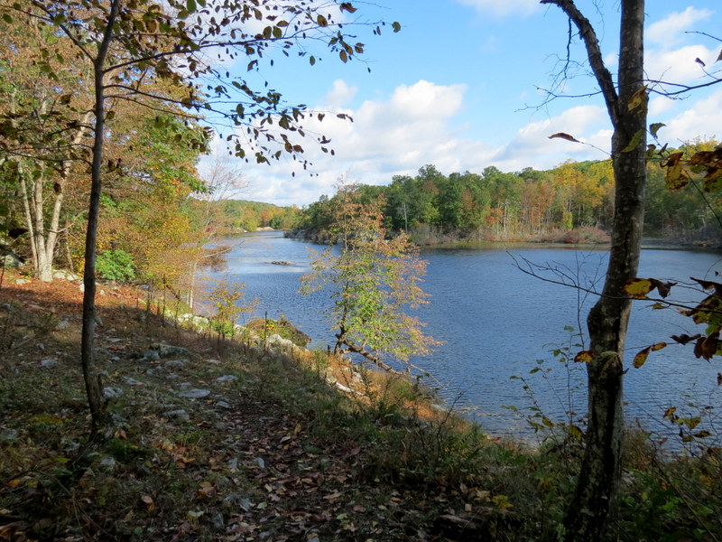
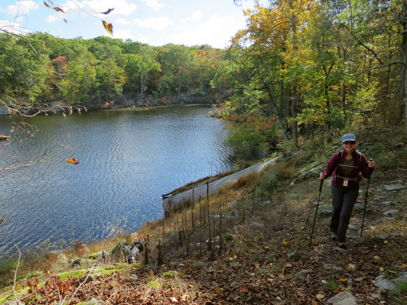
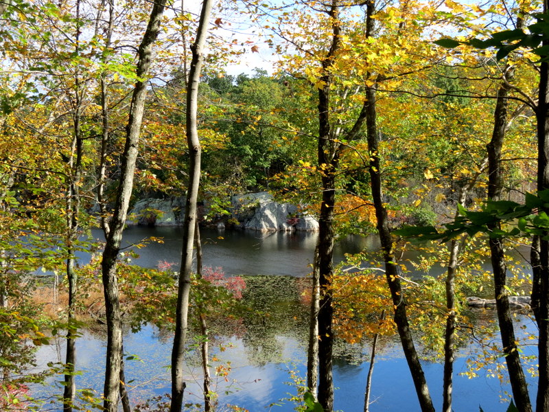
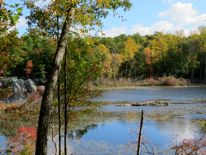
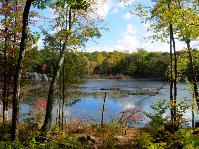
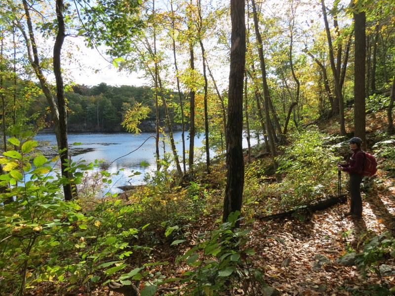
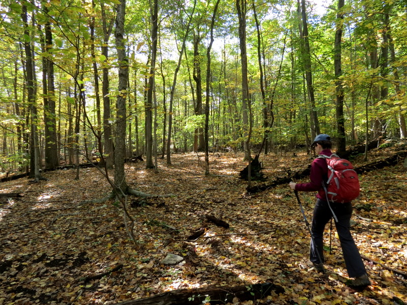
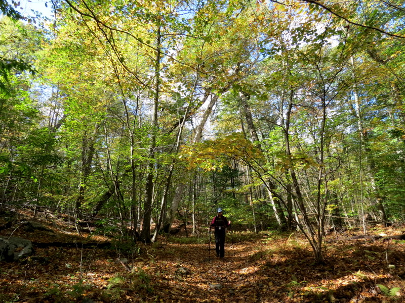
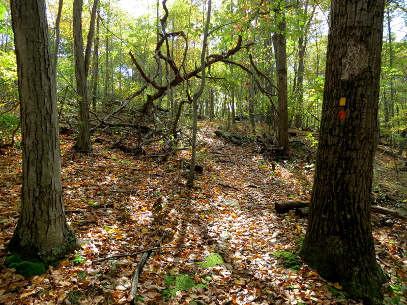
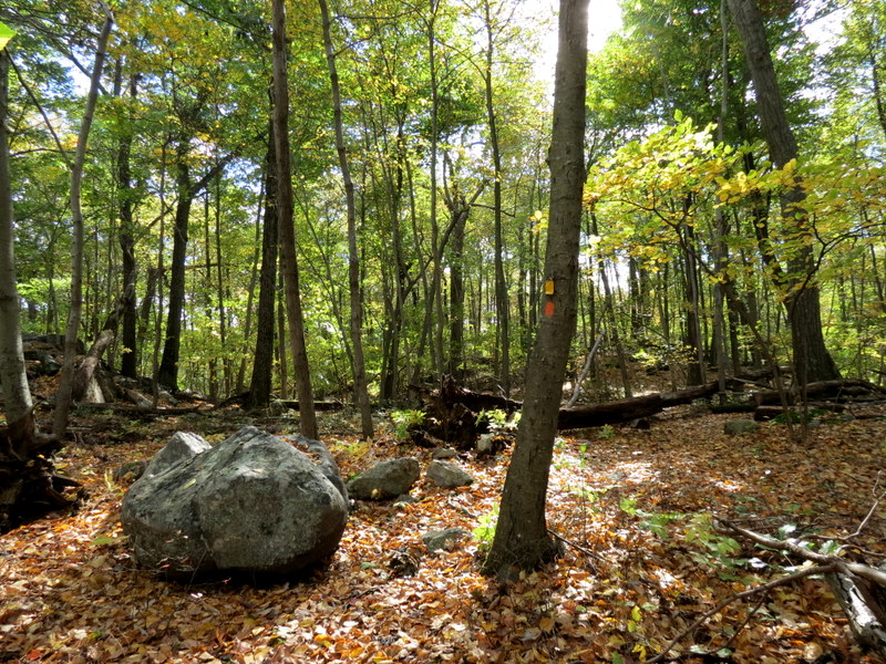
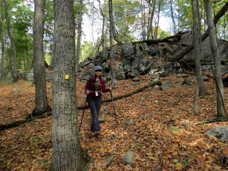
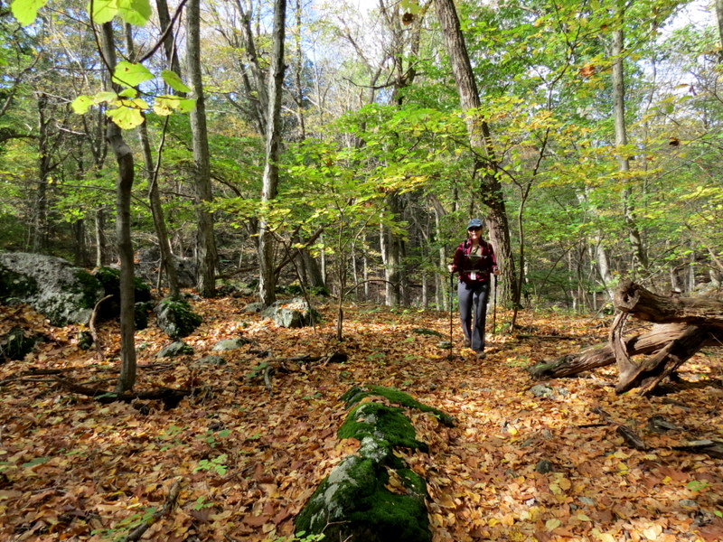
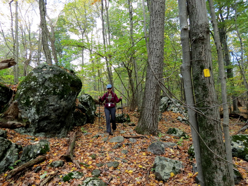
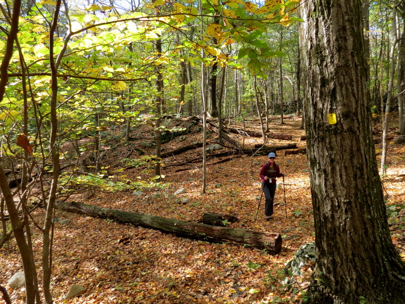
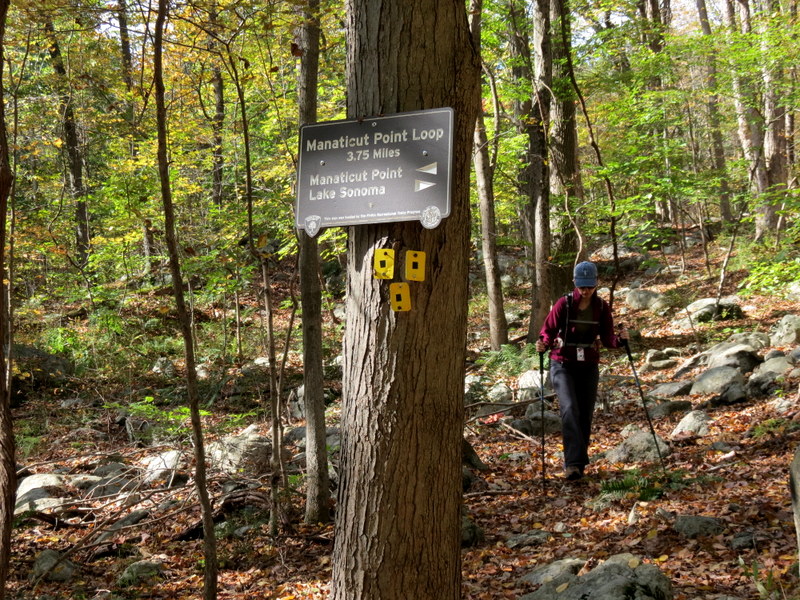
Using this map, we parked at the kiosk on Crescent Drive and climbed on the yellow connector trail, taking the left fork to Manaticut Point. Strangely, the view is not indicated on the map, but it's where the blue trail joins yellow from the south. After taking in the view, we continued west on yellow, turning right on orange and taking that to the the northern leg of yellow. Here we turned left, heading west, taking in some amazing views of Lake Sonoma. Near the northern point of the lake, instead of backtracking on yellow, we turned left on a woods road and headed east, parallel to the yellow trail (this woods road is not on the map). We then continued east on yellow, all the way back to the connector trail, which we took back to the car. Total distance covered today was 3.6 miles in just over 3 hours. (Click on the thumbnail to bring up a bigger image in a pop-up window)
|
 |
 |
 |
 |
 |
 |
 |
 |
 |
 |
 |
 |
 |
 |
 |
 |
 |
 |
 |
 |
 |
 |
 |
 |
 |
 |
 |
 |
 |
 |
 |
 |
 |
 |
 |
 |
 |
 |
 |
 |
 |
 |
 |
 |
 |
 |
 |
 |
 |
 |
 |
 |
 |
 |
 |
 |
 |
 |
 |
 |
 |
 |
 |
 |

|
|
Photographs and content copyright © Dan Balogh Web design by Dan Balogh |