 |
|
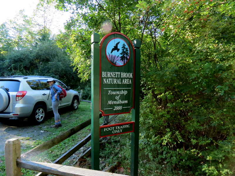
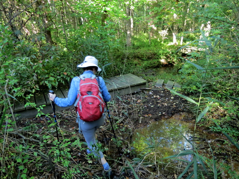
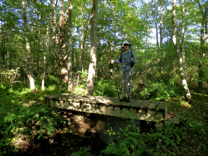
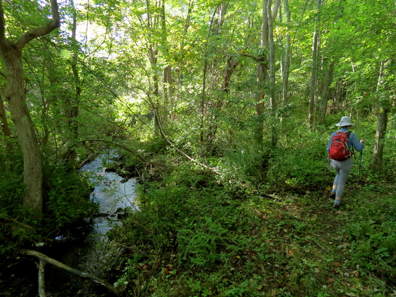
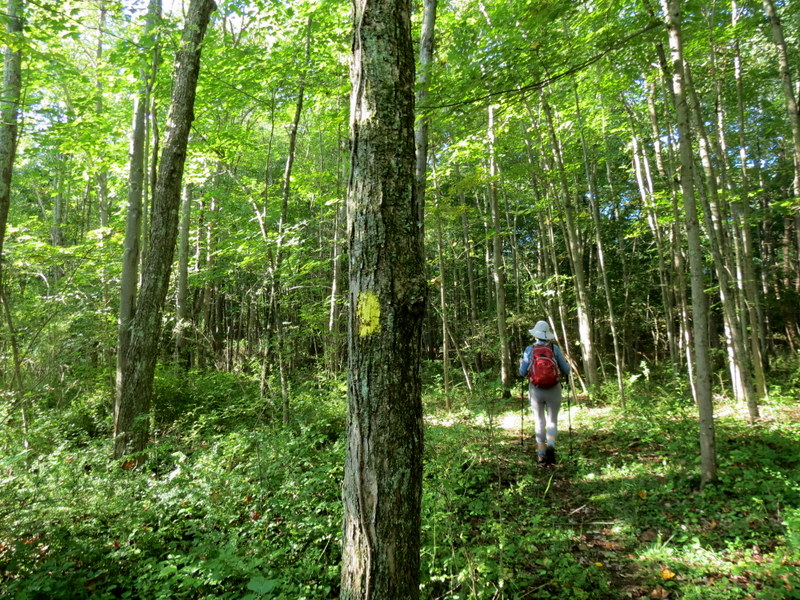
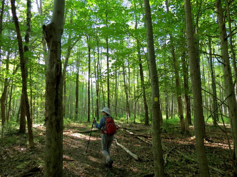
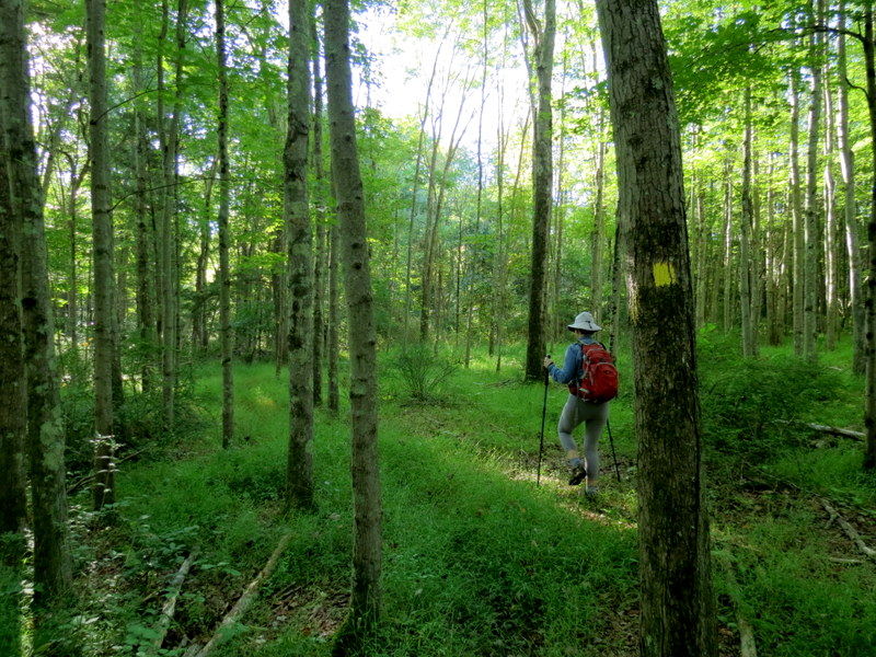
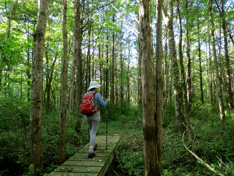
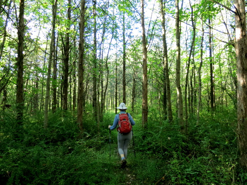
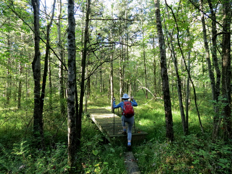
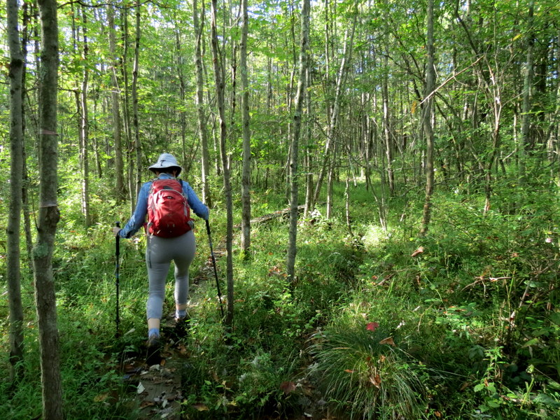
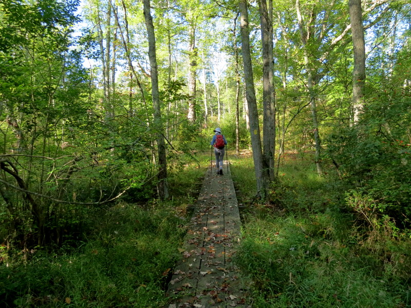
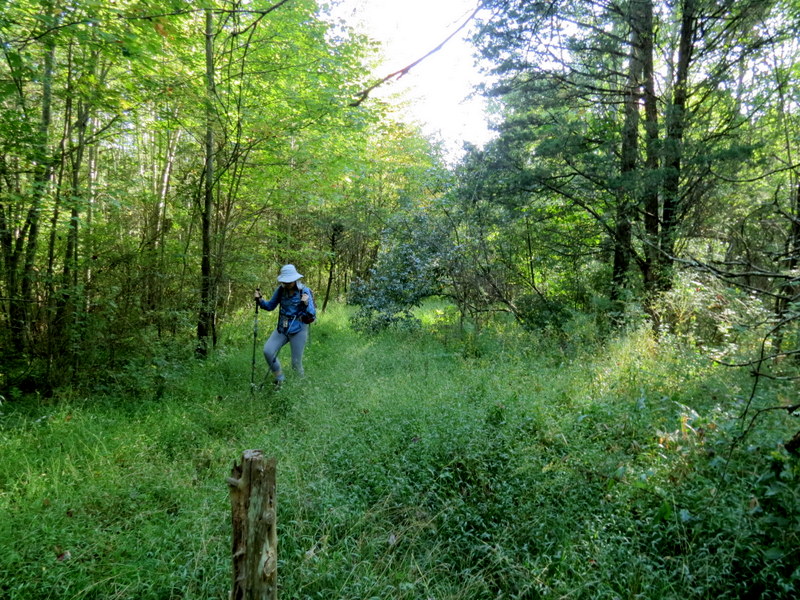
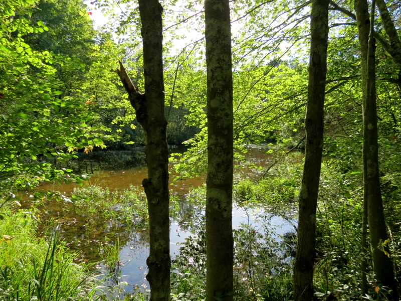
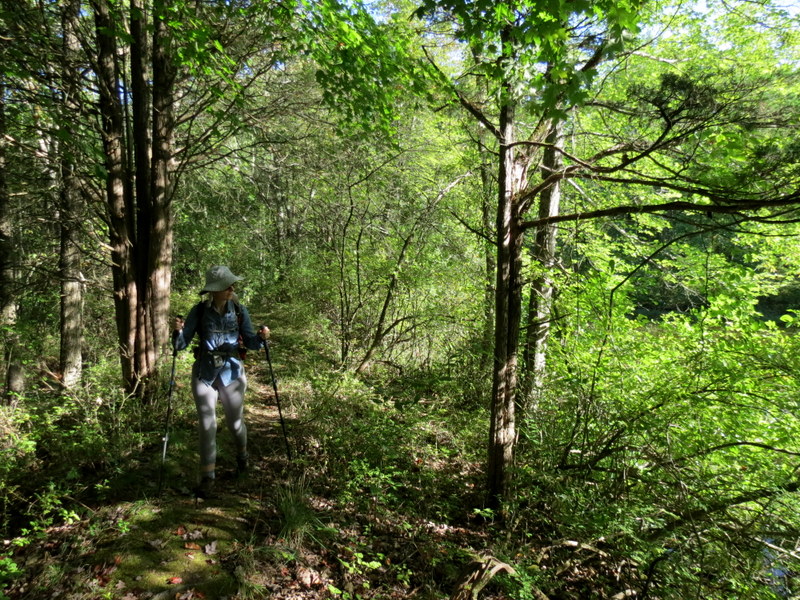
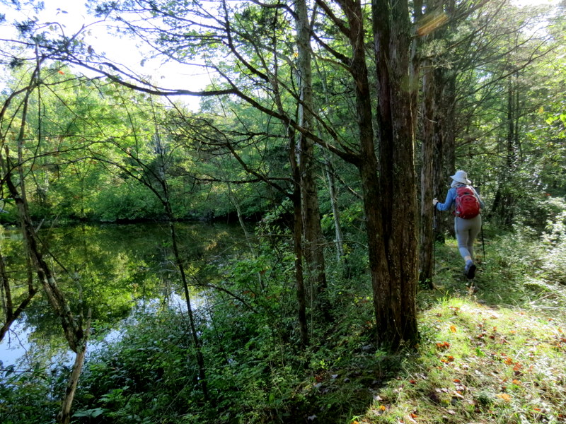
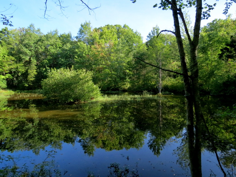
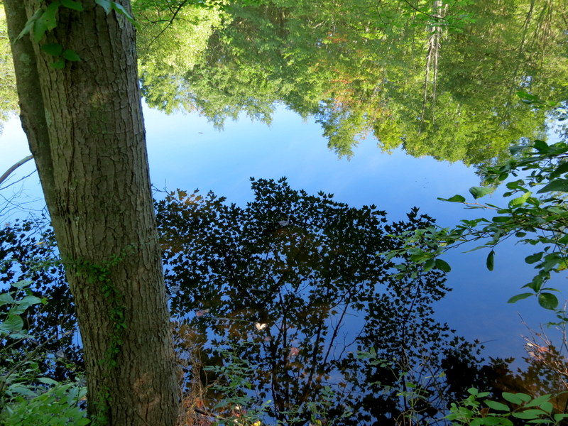
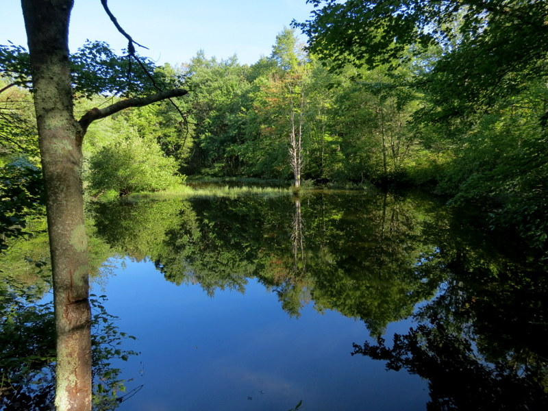
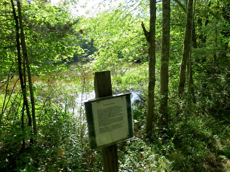
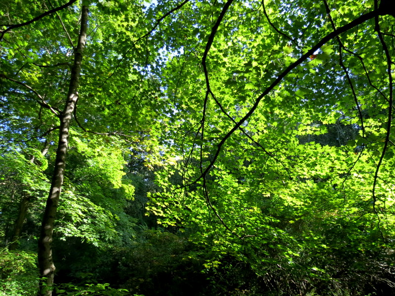
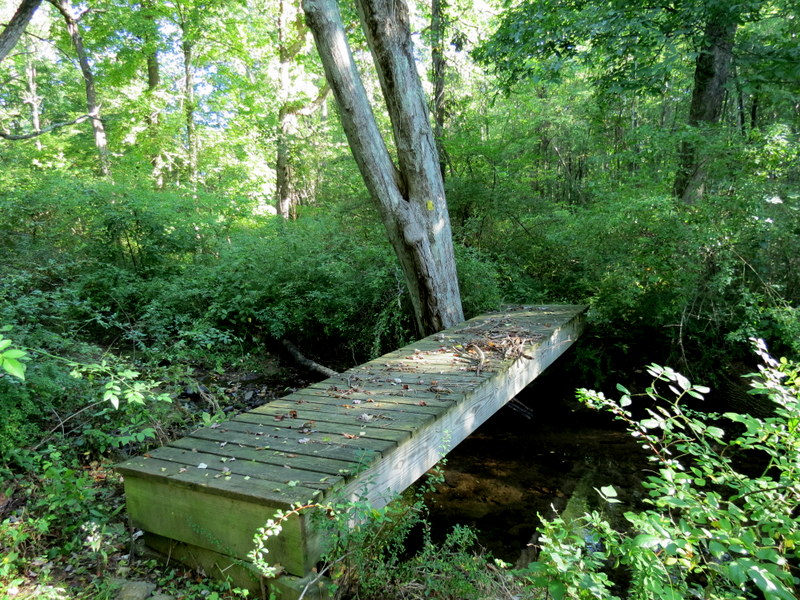
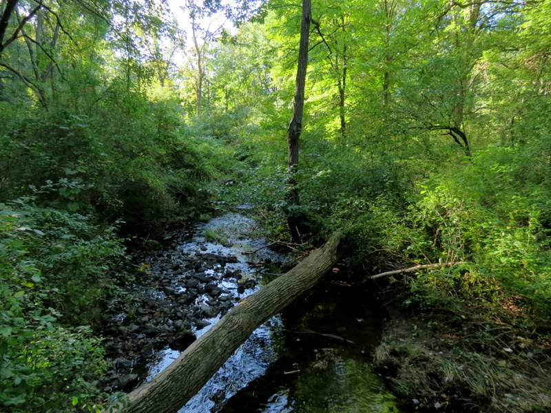
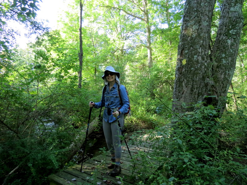
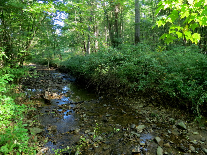
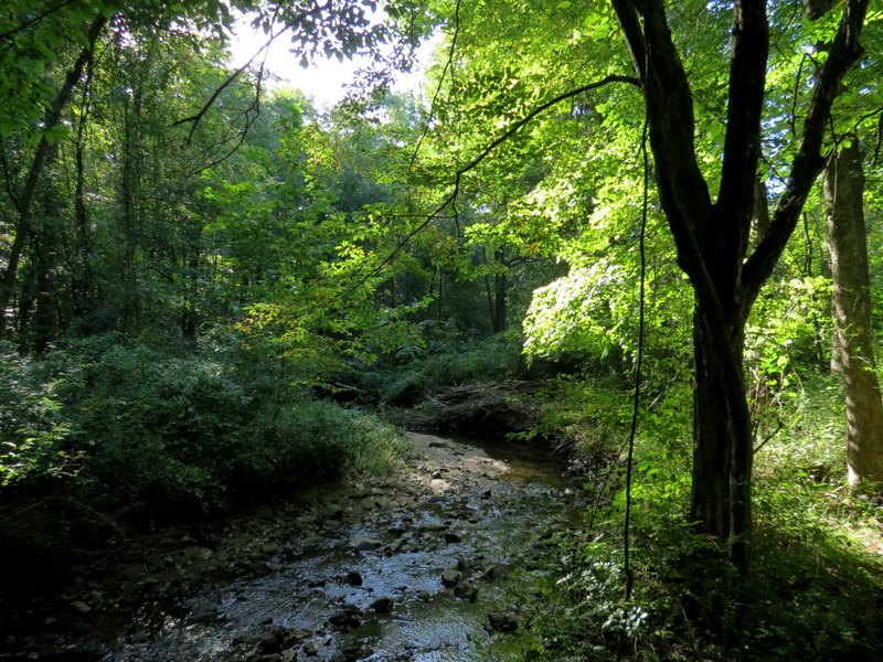
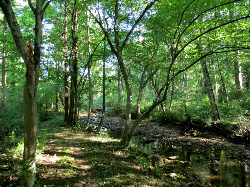
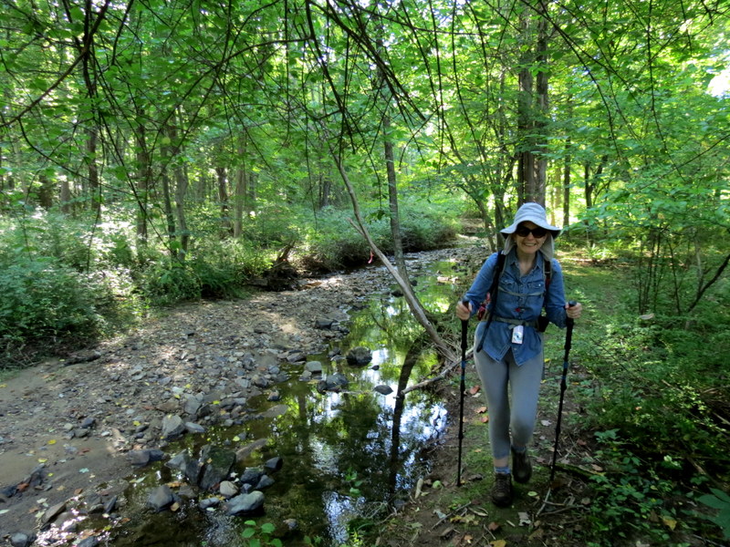
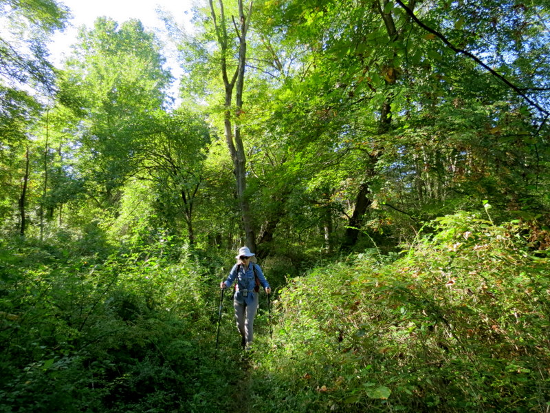
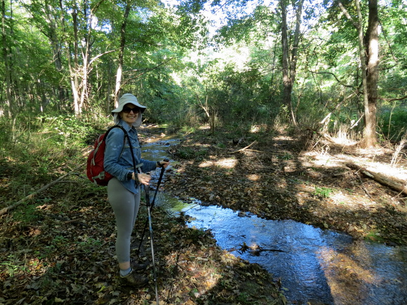
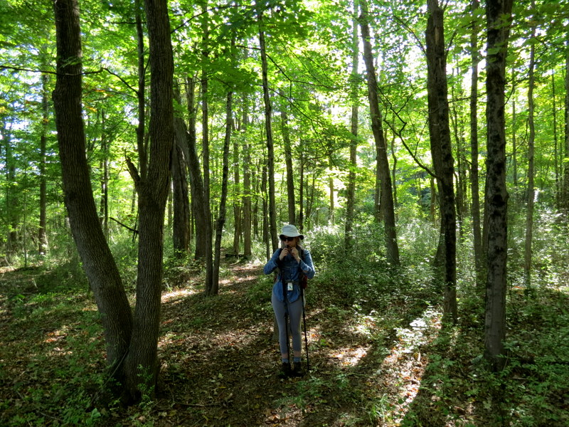
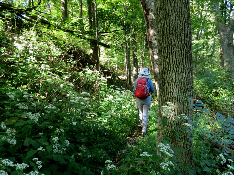
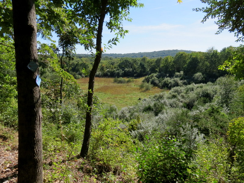
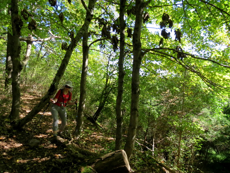
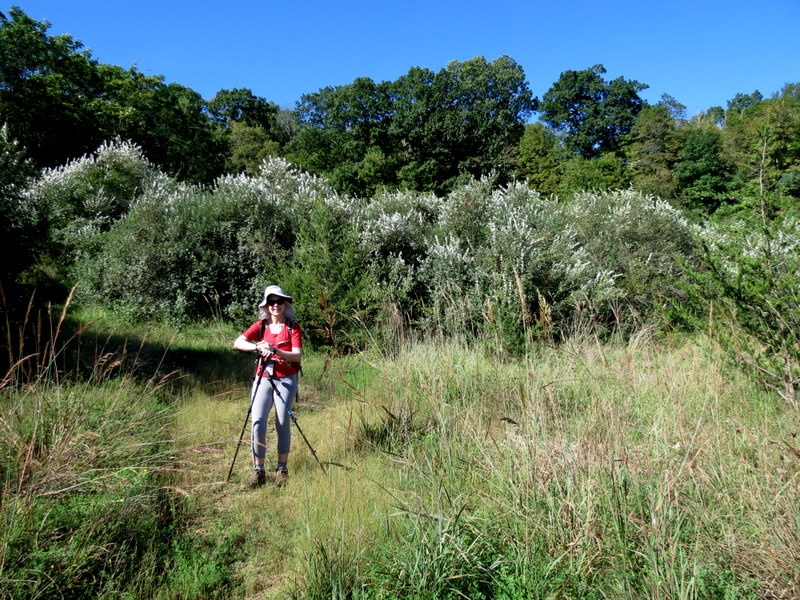
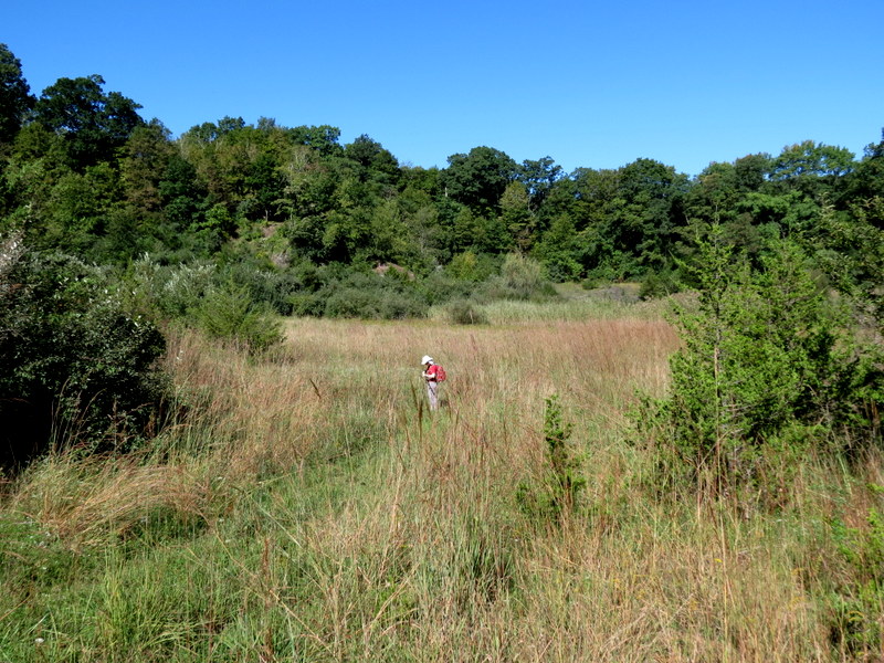
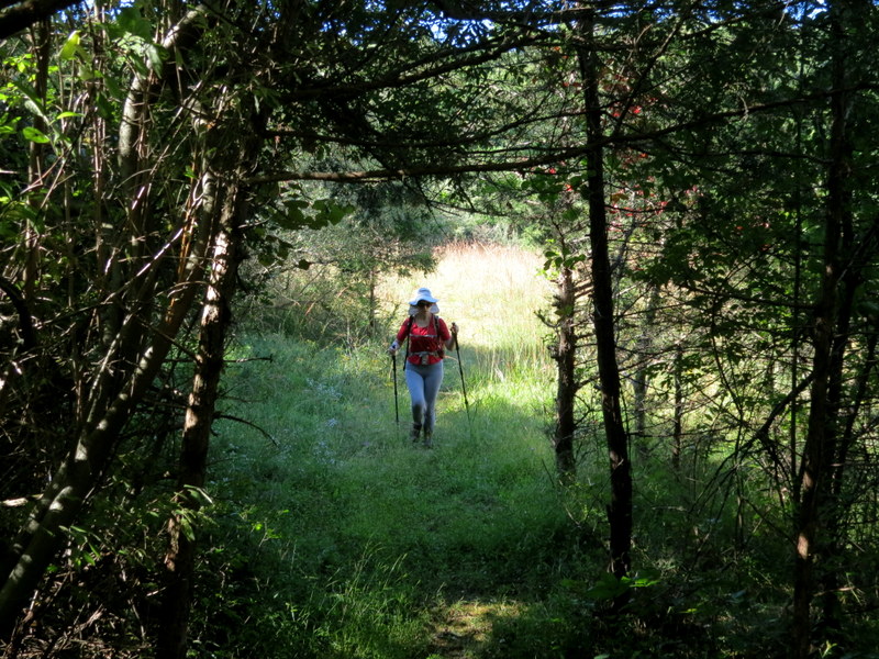
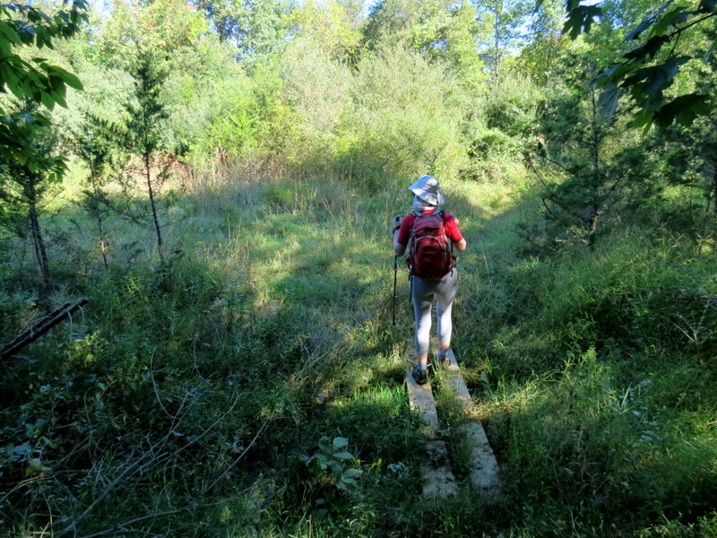
Ten years ago, we took a barbell-shaped hike in Burnett Brook Natural Area. Today we returned to
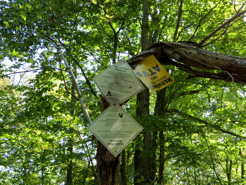
hike part of this lovely area once again, and in addition, we hiked more than half of our track today in the Mount Paul Preseve on the other side of Mount Paul Road.
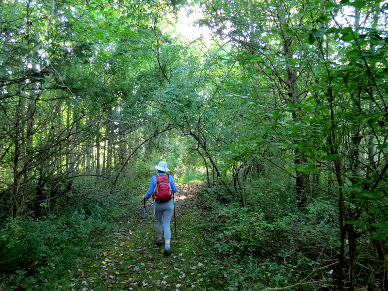
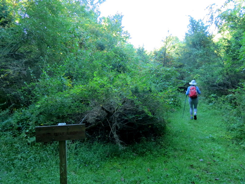
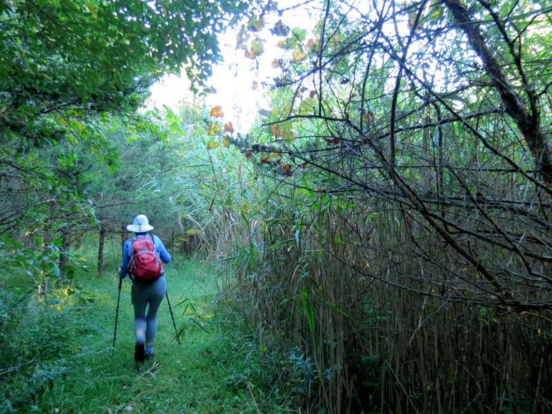
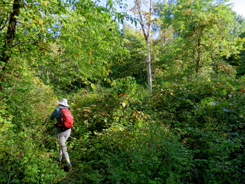
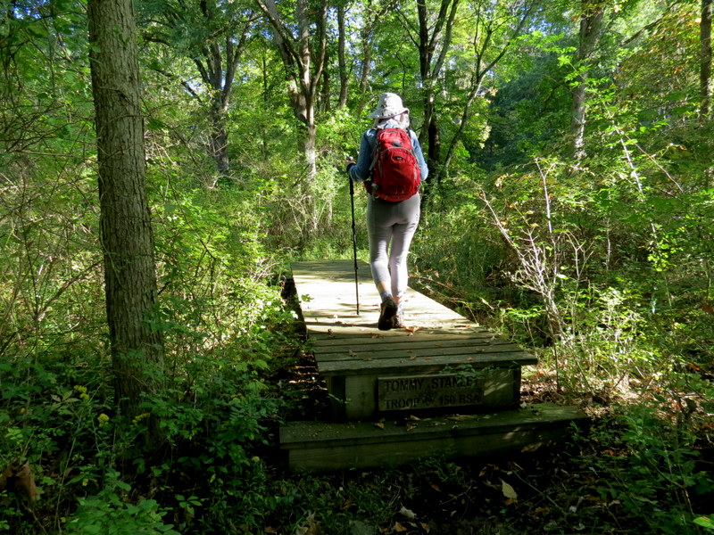
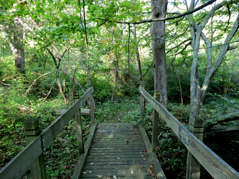
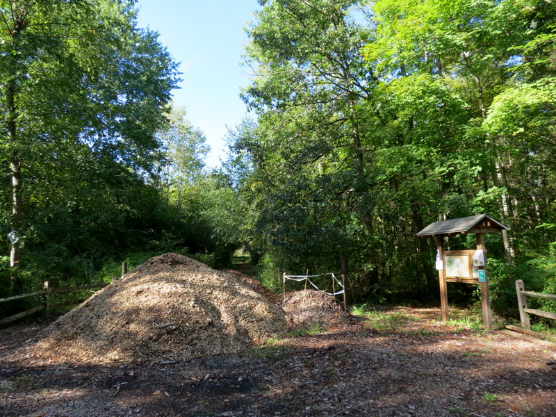
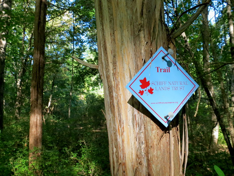
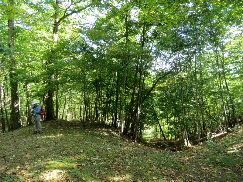
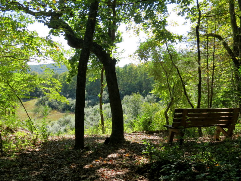
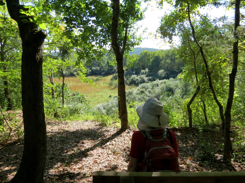
Using the lower right insert of this map, we did the Burnett Brook loop (grey on the map, but blazed yellow in the woods) in the counter-clockwise direction, passing our car, and then walking south along Mount Paul Road for about two minutes to the entrance of the Mount Paul Preserve on the western side of the road. We hiked the white loop indicated on the map (blazed blue in the woods), but continued further west, before turning back to continue the loop, forming a lollipop. The trail continues even further west, and there were several other trails criss-crossing the main blue trail. We may have to return here when we have more time to explore a bit more. Total distance hiked today was just over 2.6 miles in just over 2 hours.
|
 |
 |
 |
 |
 |
 |
 |
 |
 |
 |
 |
 |
 |
 |
 |
 |
 |
 |
 |
 |
 |
 |
 |
 |
 |
 |
 |
 |
 |
 |
 |
 |
 |
 |
 |
 |
 |
 |
 |
 |
 |
 |
 |
 |
 |
 |
 |
 |
 |
 |
 |
 |
 |
 |
 |
 |
 |
 |
 |
 |

|
|
Photographs and content copyright © Dan Balogh Web design by Dan Balogh |