 |
|
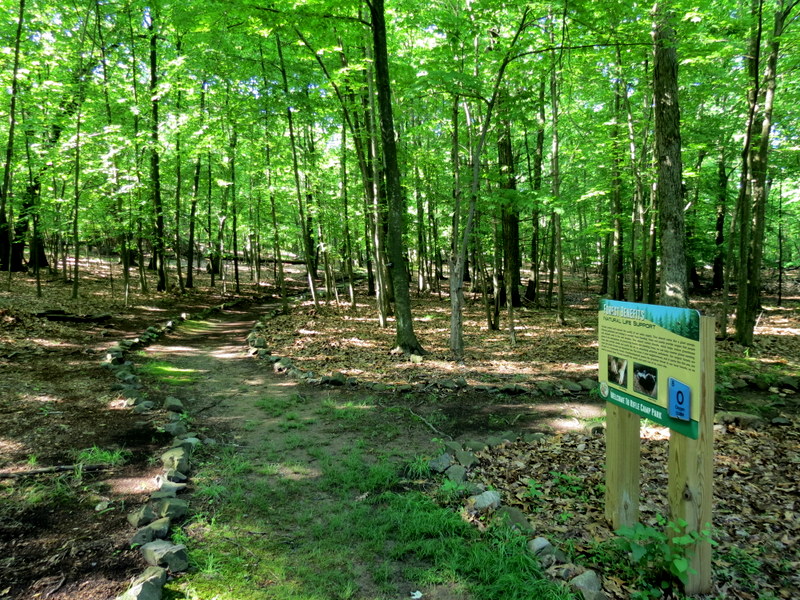
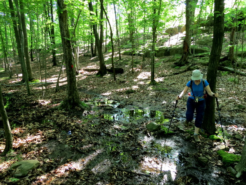
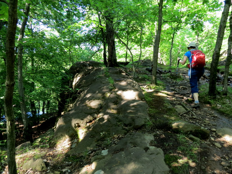
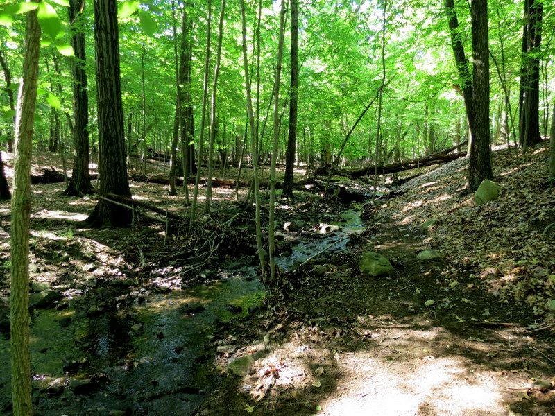
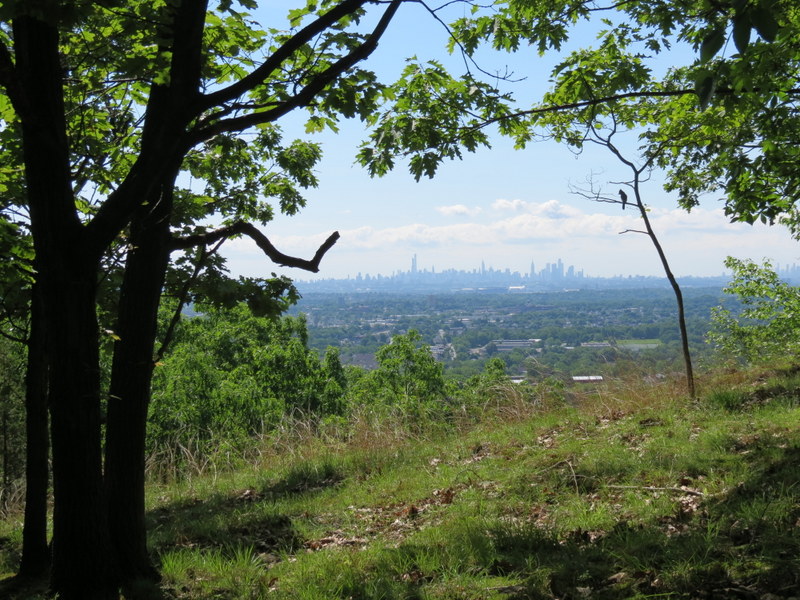
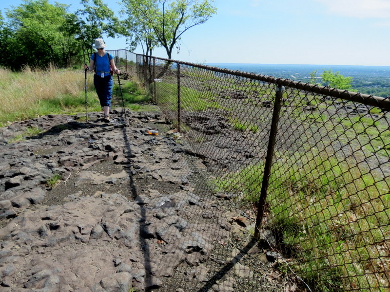
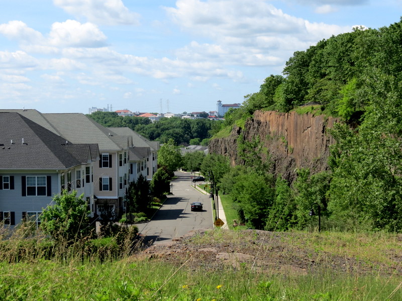
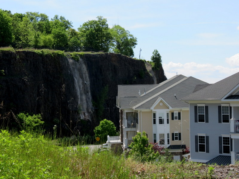
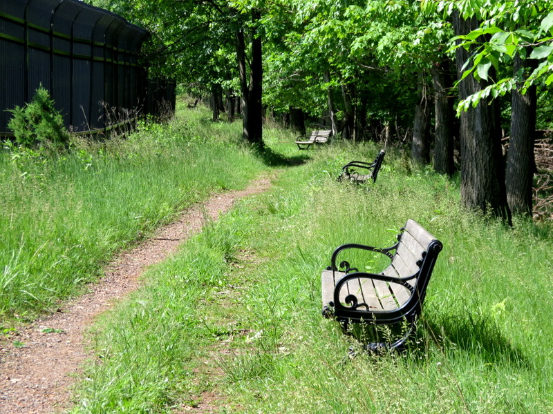
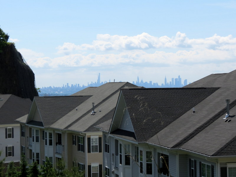
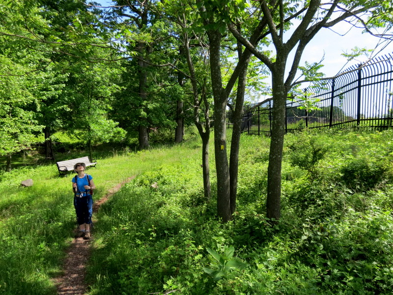
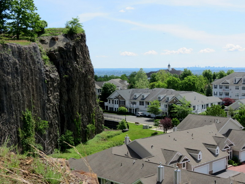
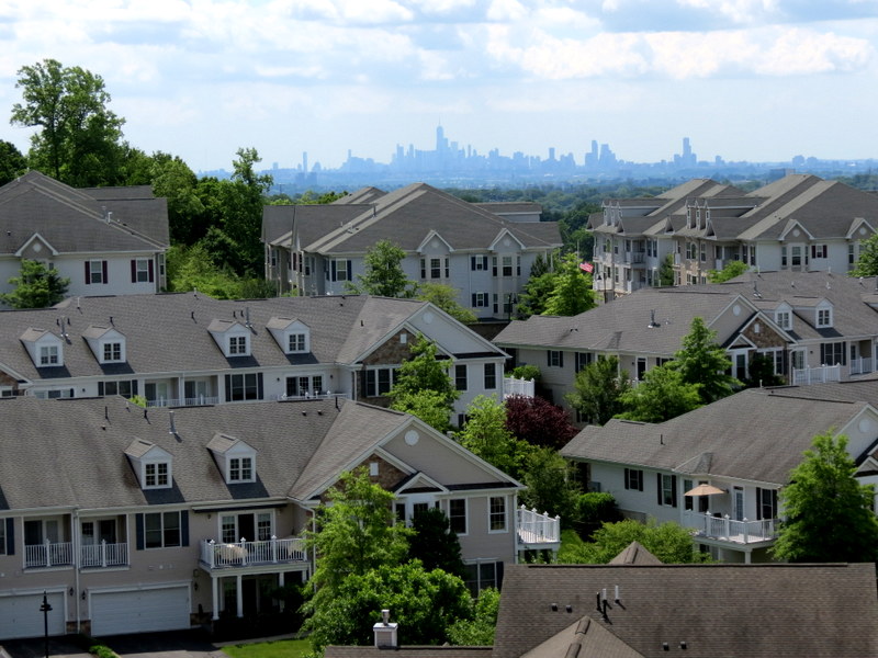
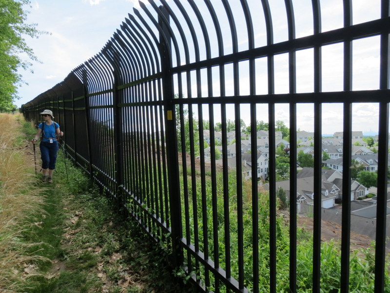
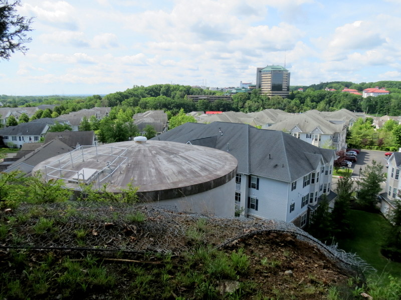
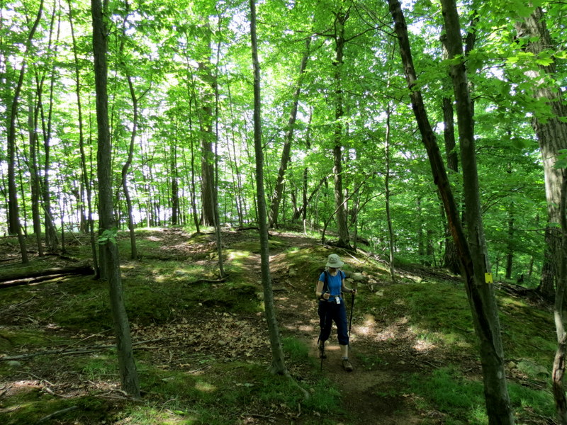
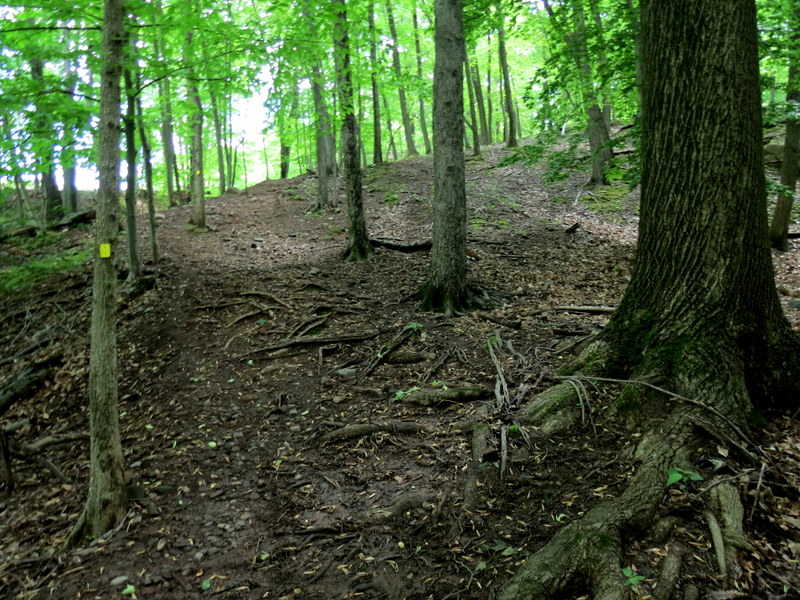
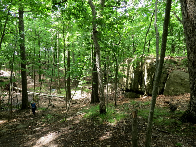
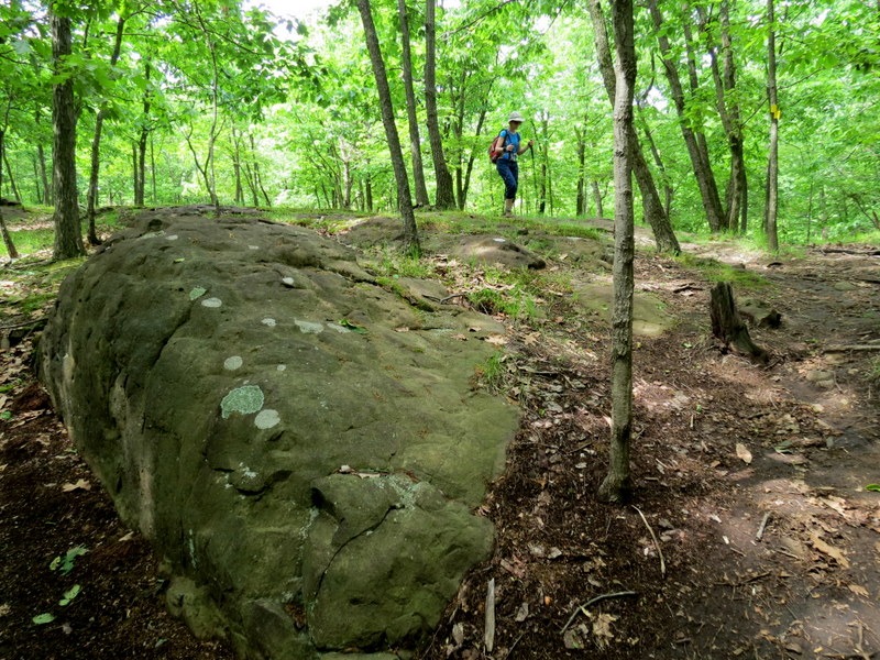
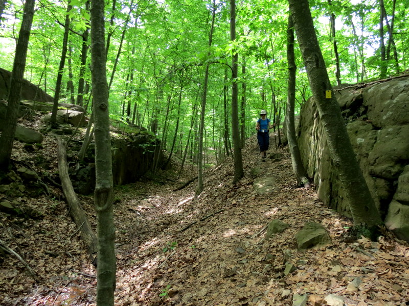
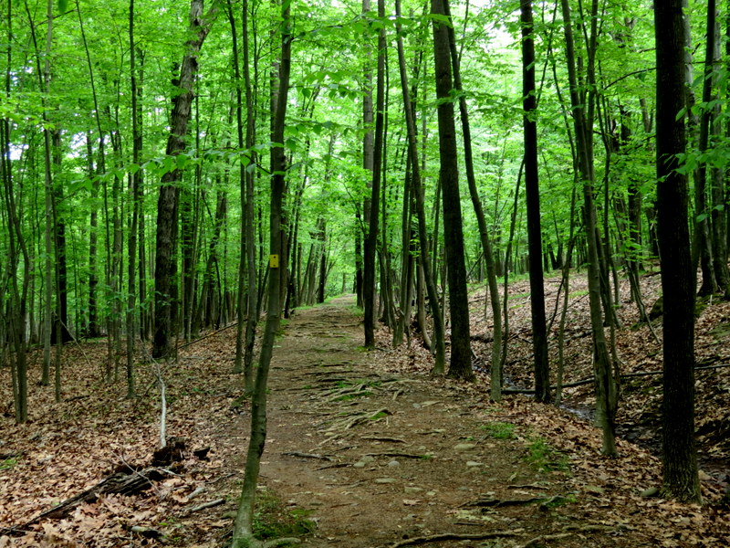
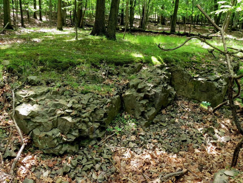
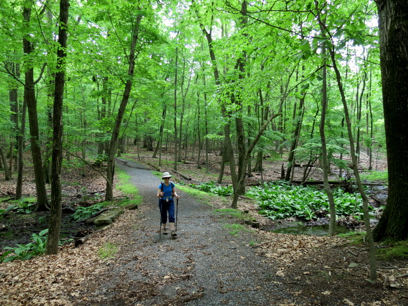
This is the third time we hiked this park, the last being over five years ago when we were walking through
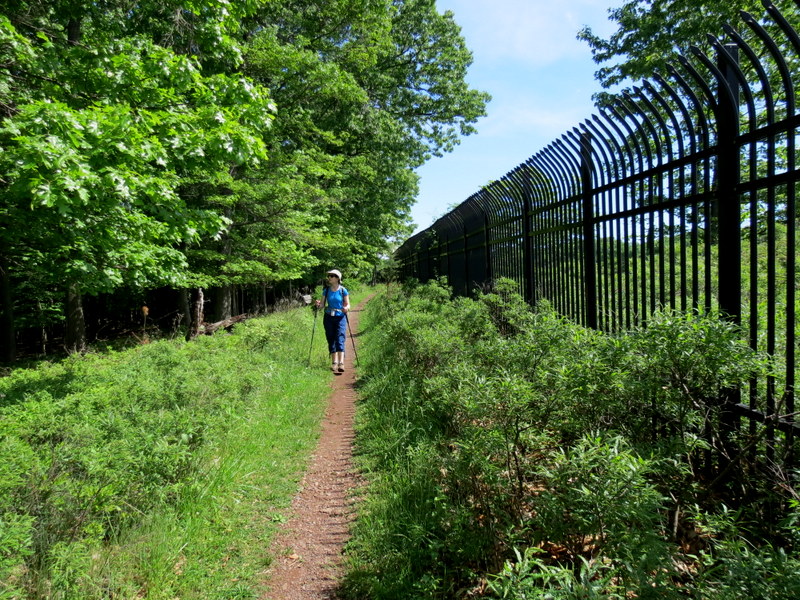
deep snow, very slowly. So, we returned today to hike the Yellow trail, as we did the previous two times, but also the Red trails, which we had never hiked before.
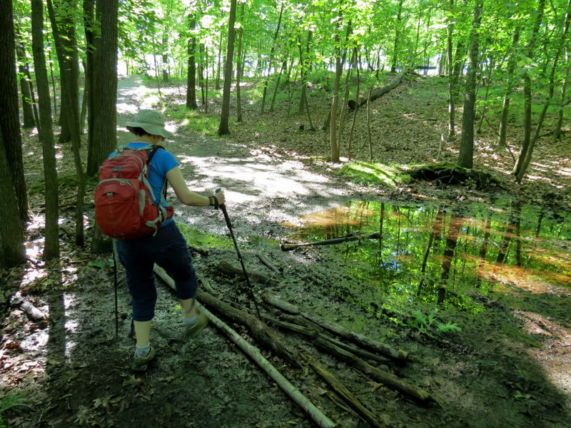
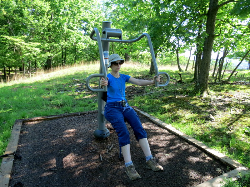
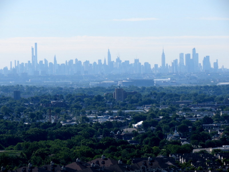
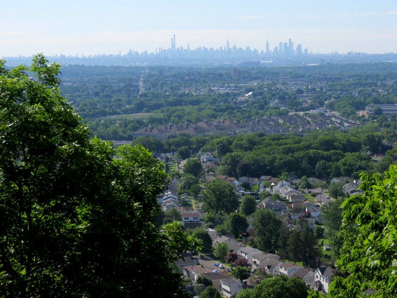
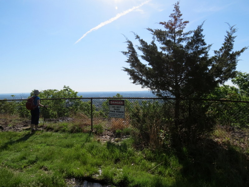
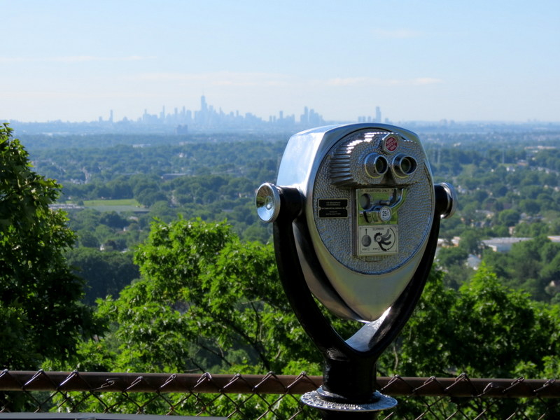
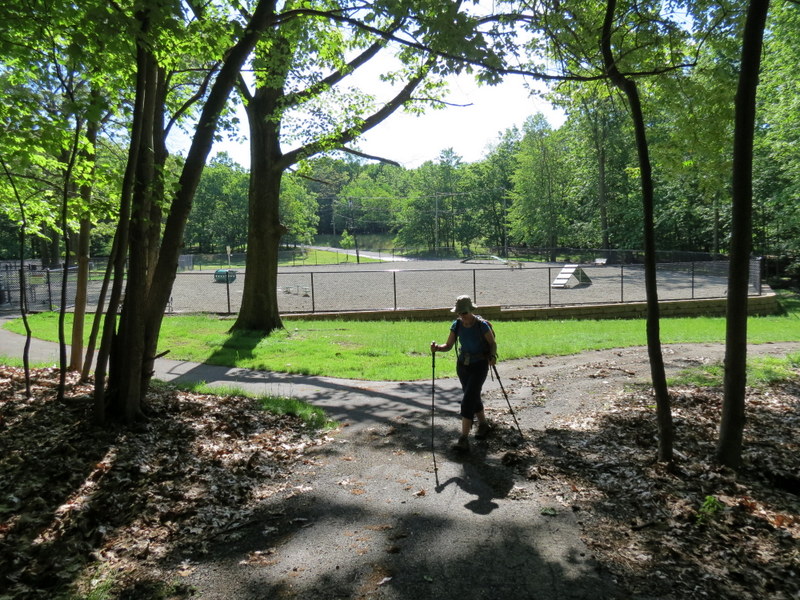
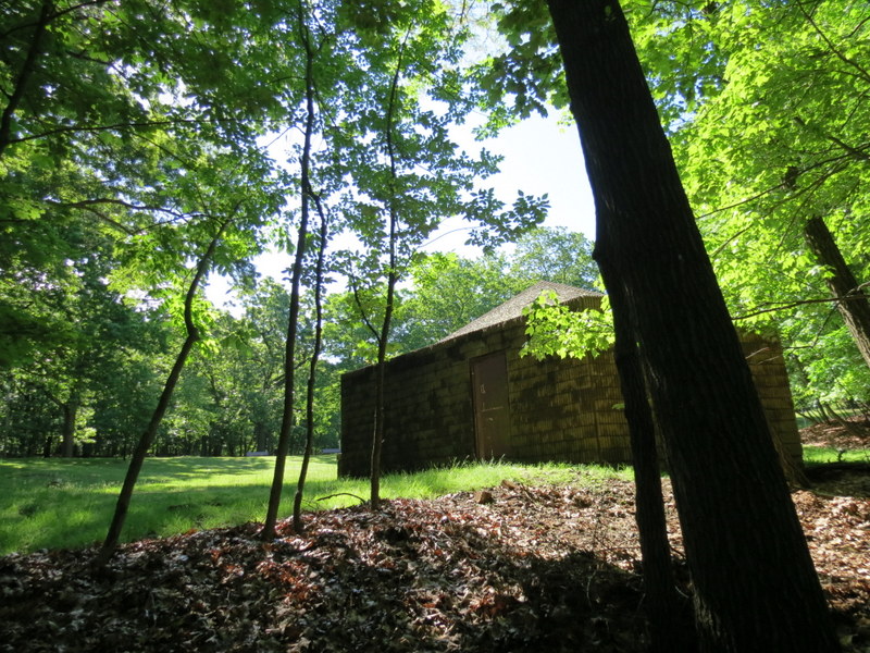
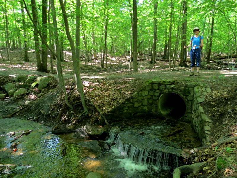
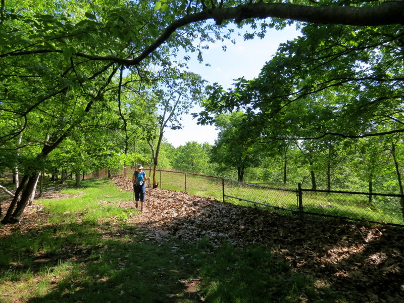
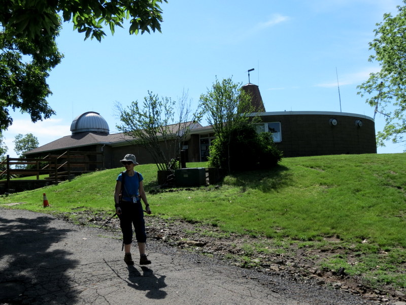
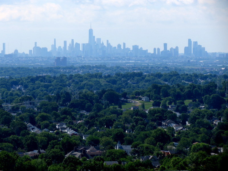
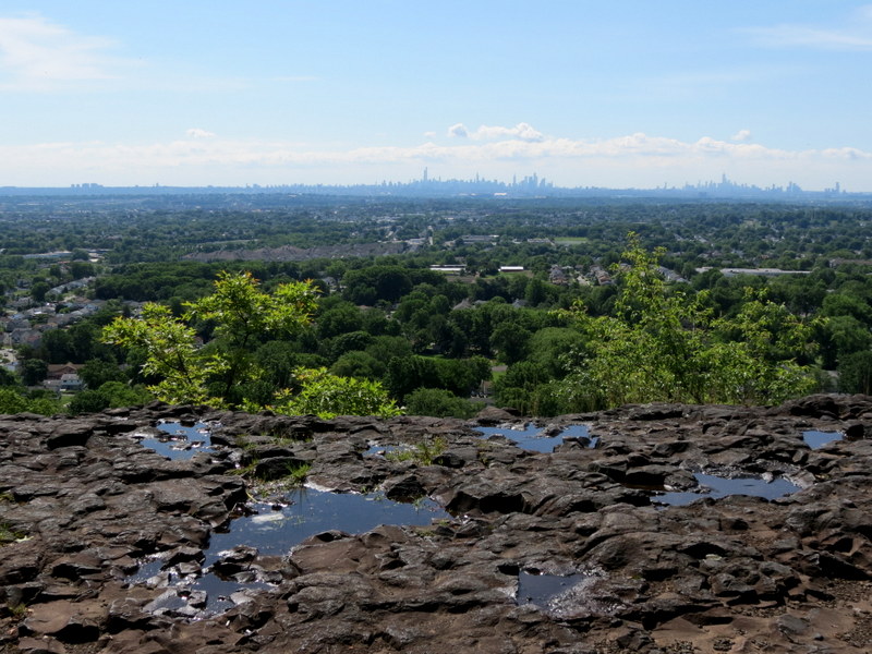
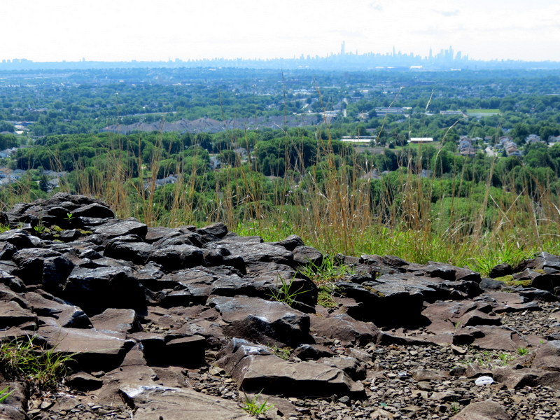
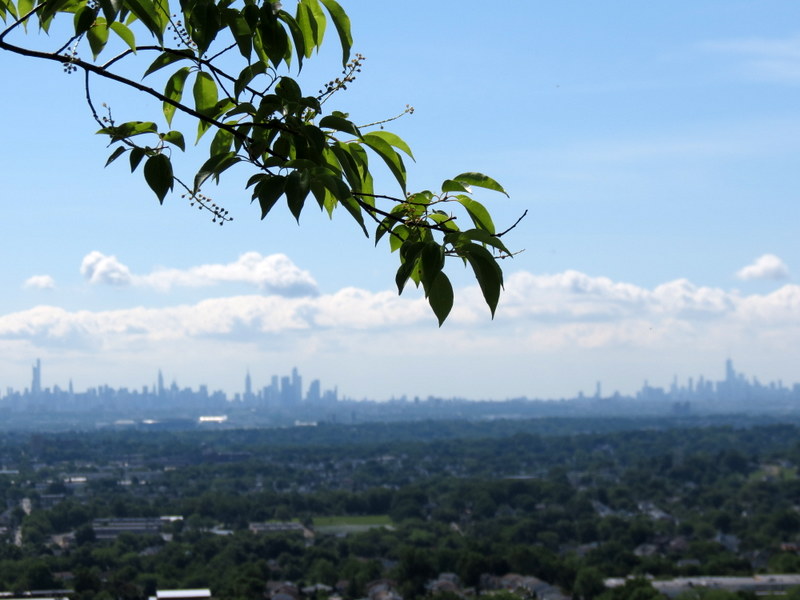
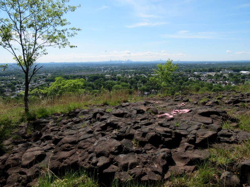
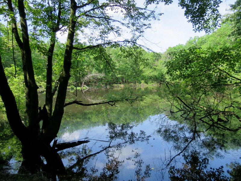
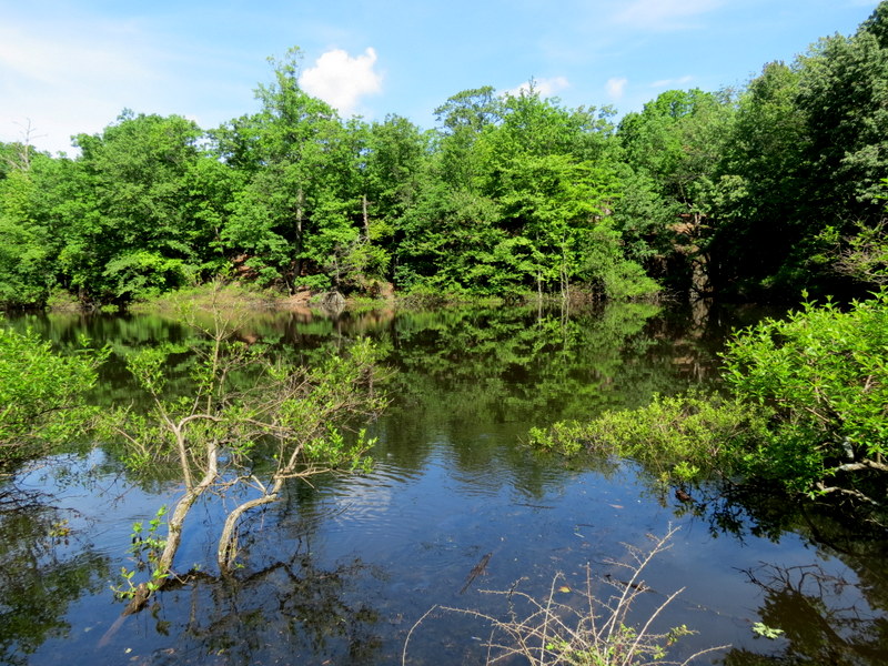
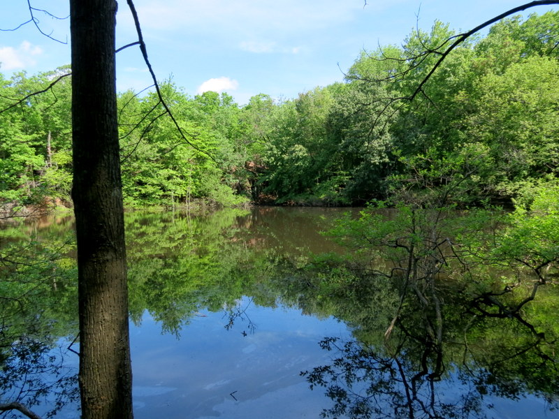
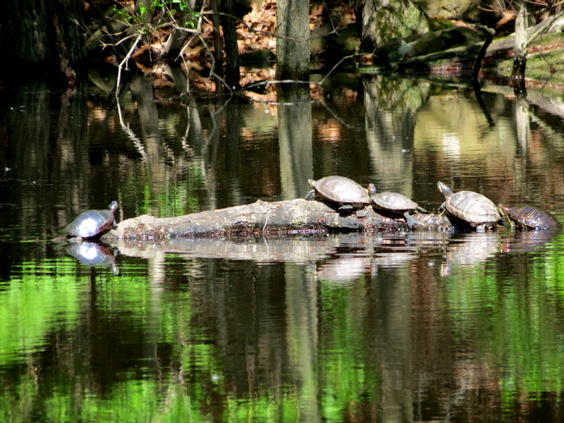
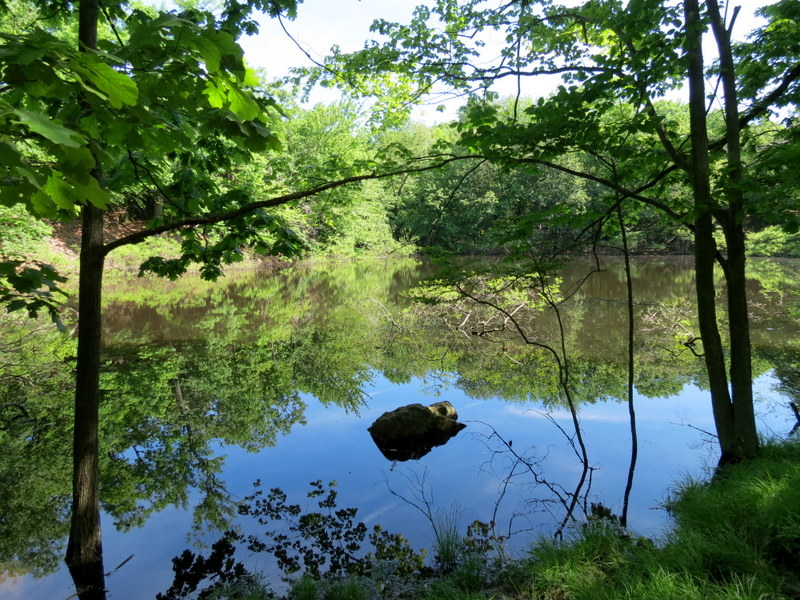
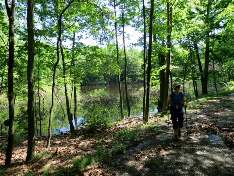
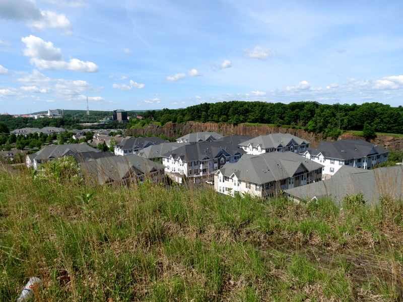
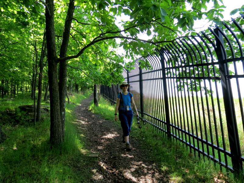
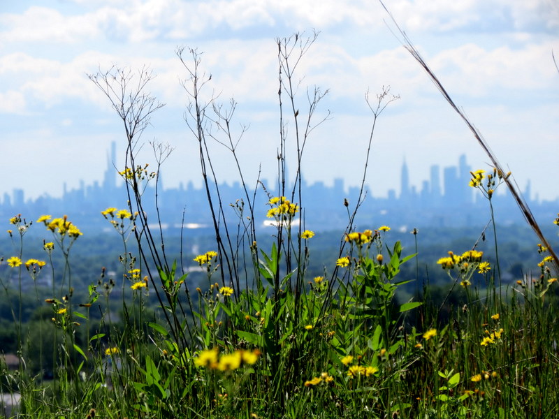
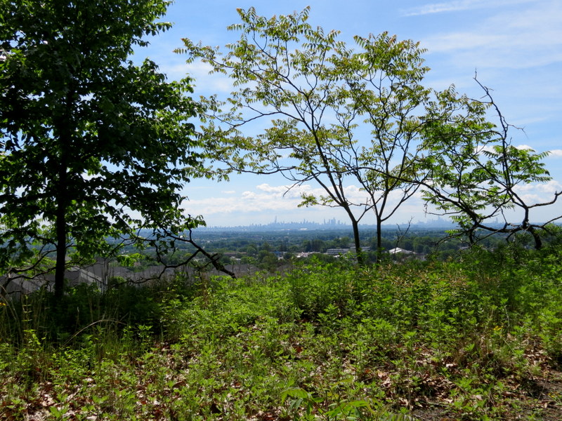
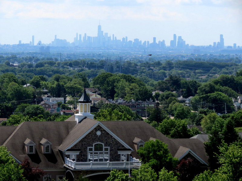
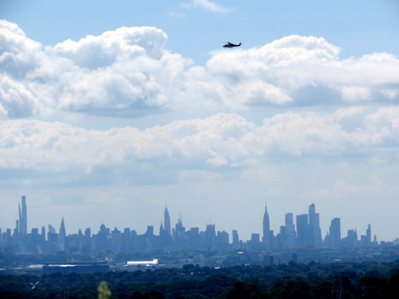
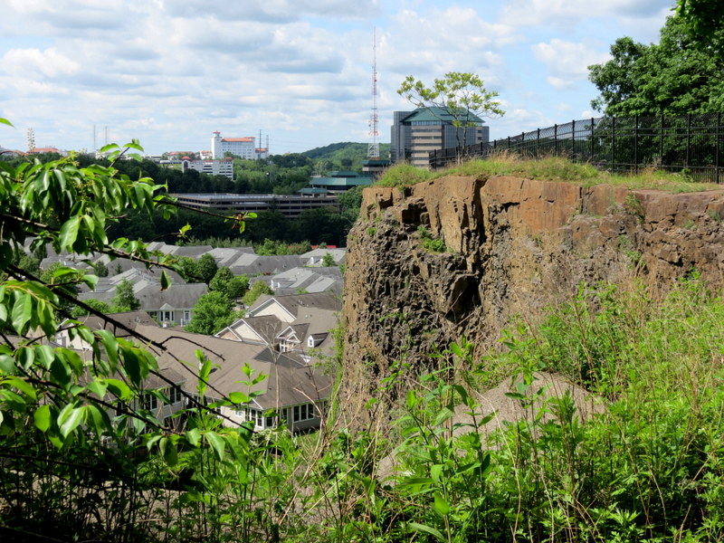
Using this map we parked in the Carnie Bragg Area and followed a route too complicated to describe here, covering every blazed trail on the map, some segments more than once. The views to the Manhattan skyline were as spectacular as we remembered them. Total distance hiked today was just under 5 miles in two hours and 45 minutes.
|
 |
 |
 |
 |
 |
 |
 |
 |
 |
 |
 |
 |
 |
 |
 |
 |
 |
 |
 |
 |
 |
 |
 |
 |
 |
 |
 |
 |
 |
 |
 |
 |
 |
 |
 |
 |
 |
 |
 |
 |
 |
 |
 |
 |
 |
 |
 |
 |
 |
 |
 |
 |
 |
 |
 |
 |
 |
 |
 |
 |
 |
 |
 |
 |

|
|
Photographs and content copyright © Dan Balogh Web design by Dan Balogh |