 |
|
Laura and I have only hiked this area once together, way back in 2010. Before that I had hiked it with
a friend six years earlier in 2006. So we returned today to hike all of the trails that we didn't get a chance
to hike those two previous times.
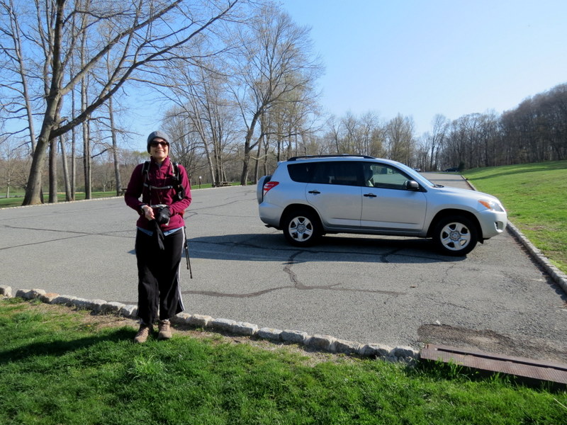
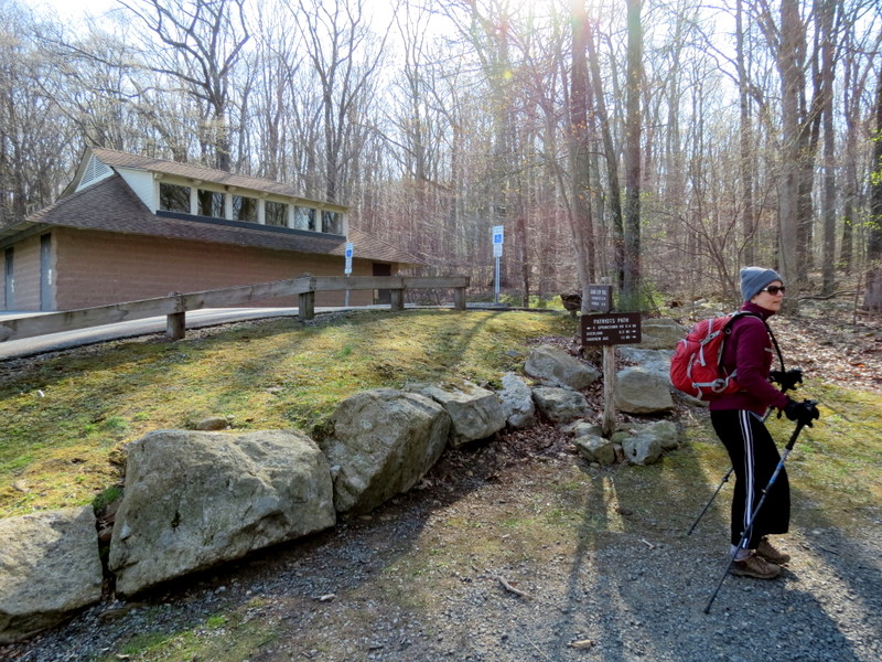
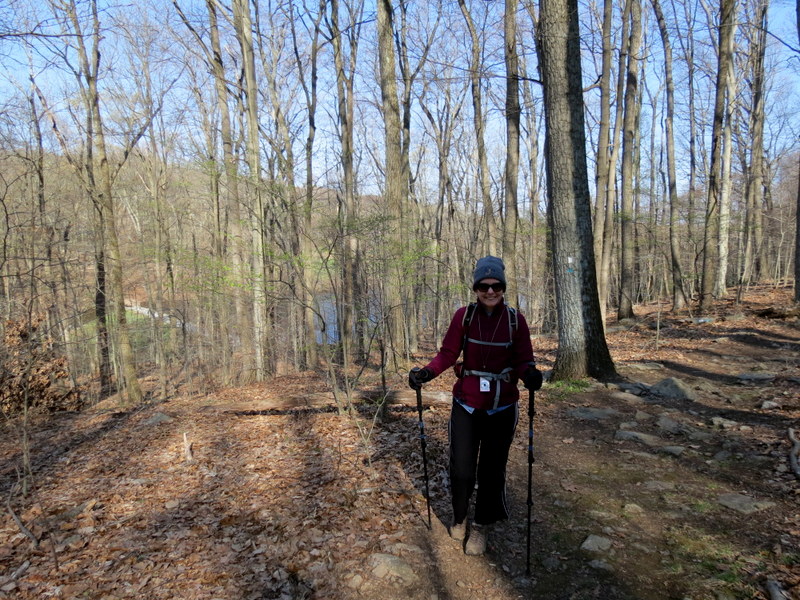
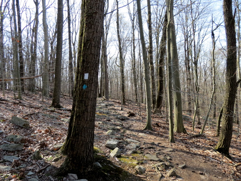
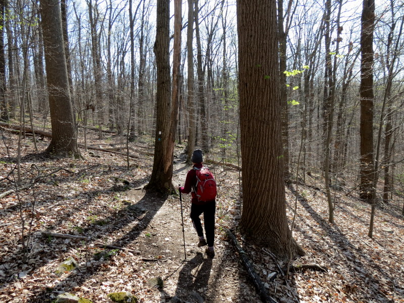
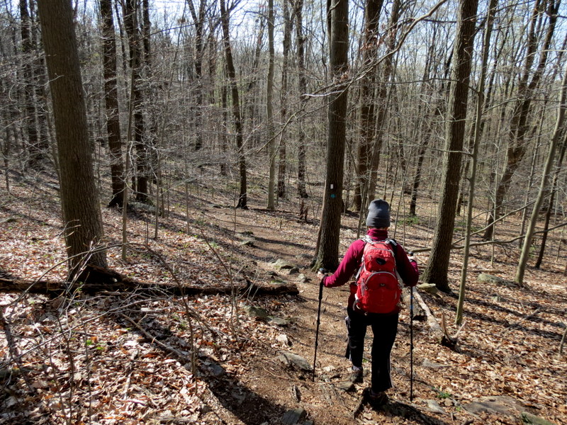
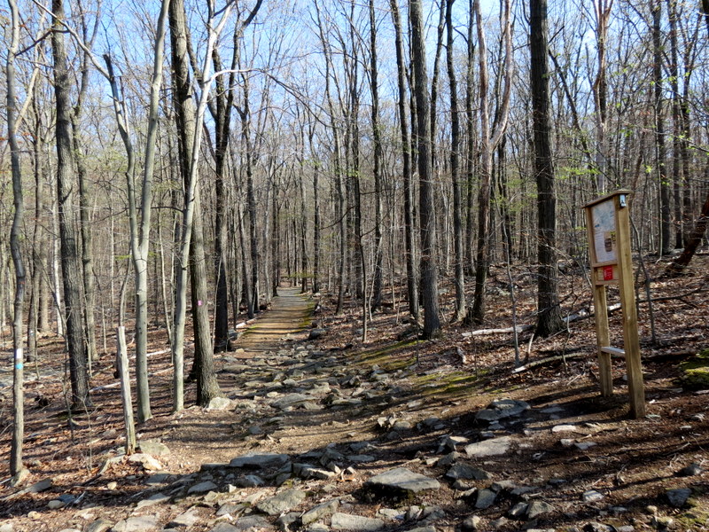
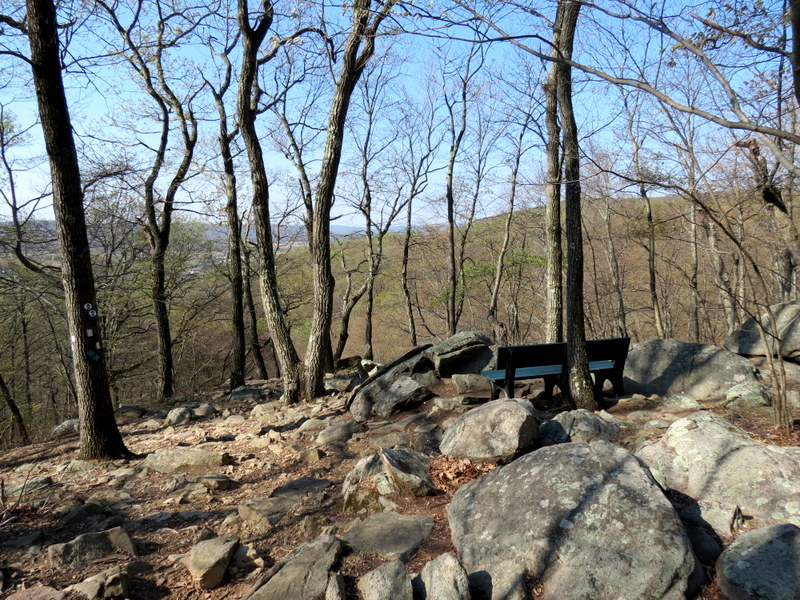
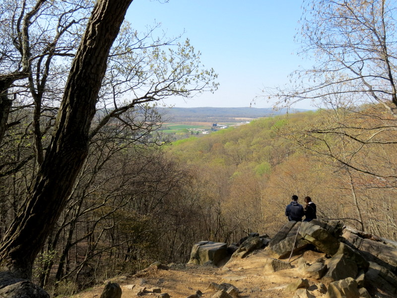
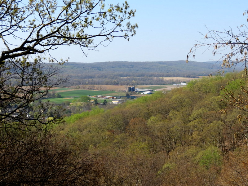
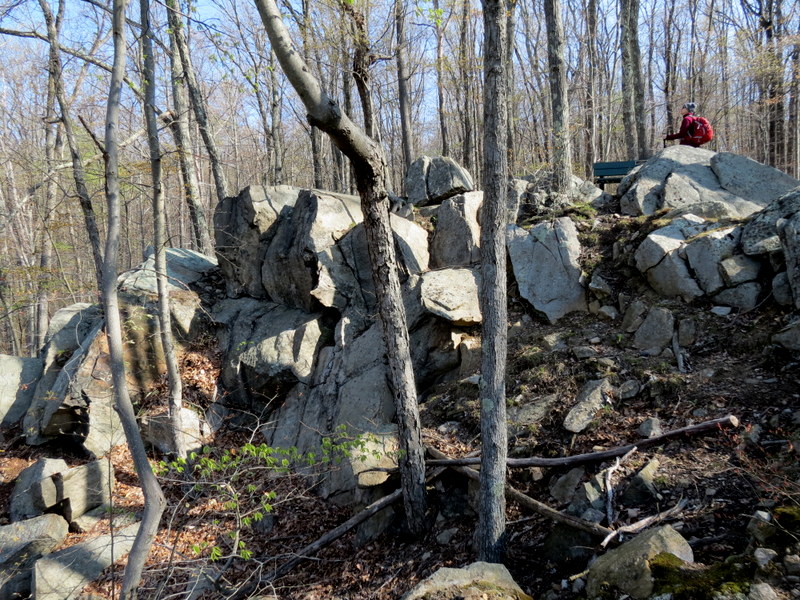
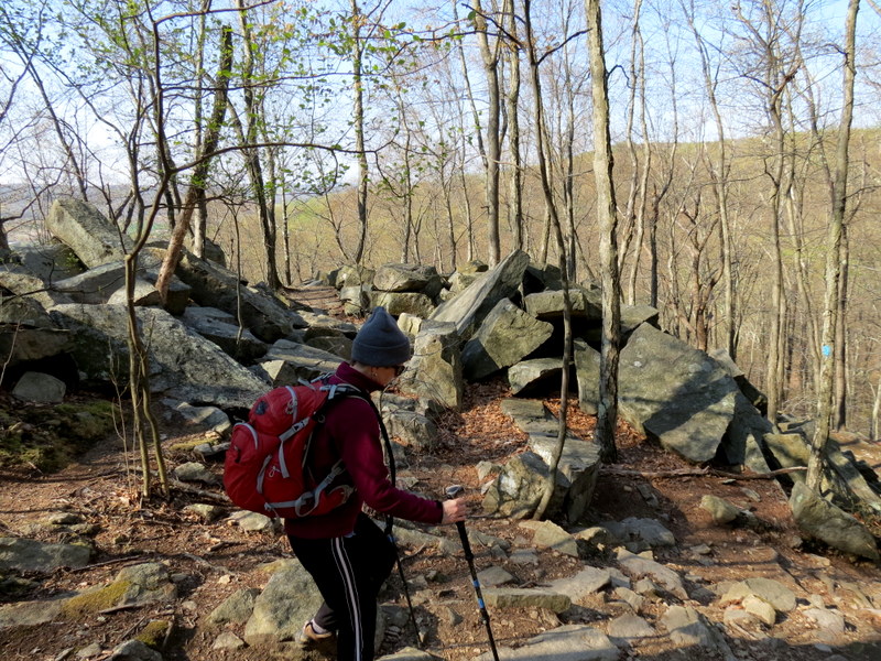
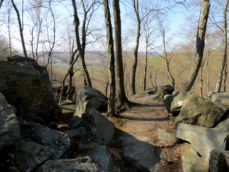
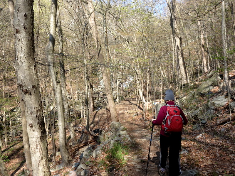
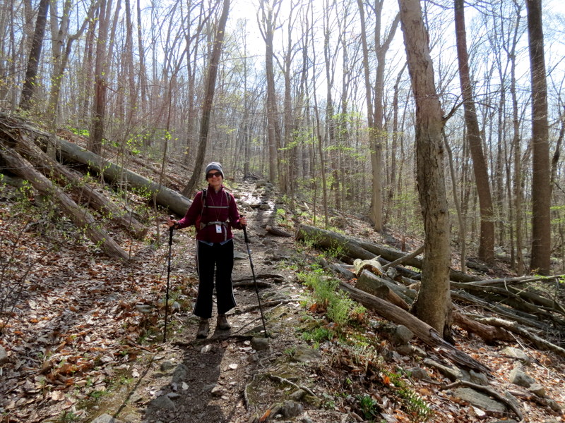
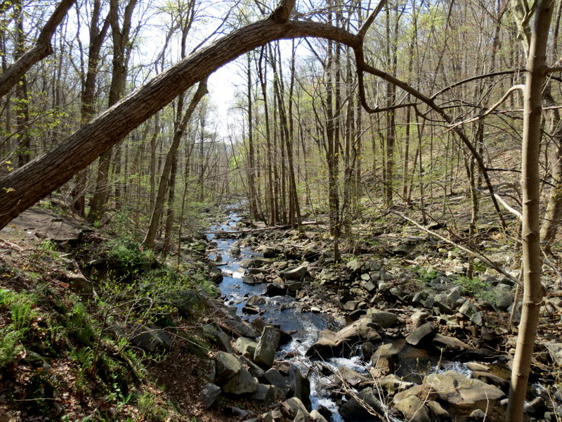
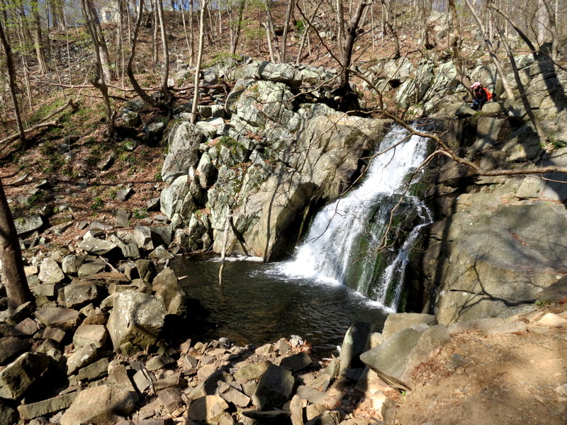
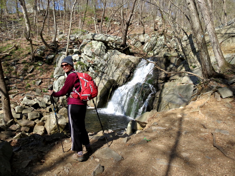
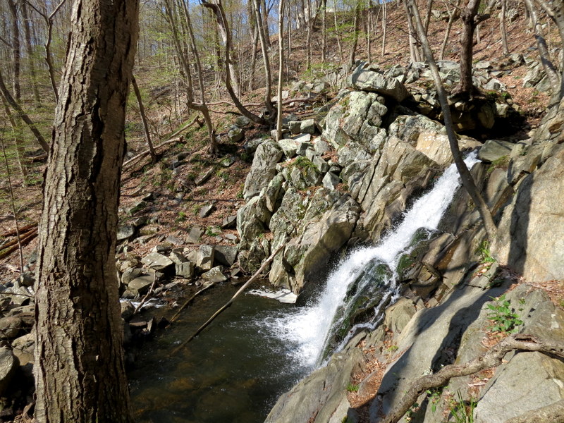
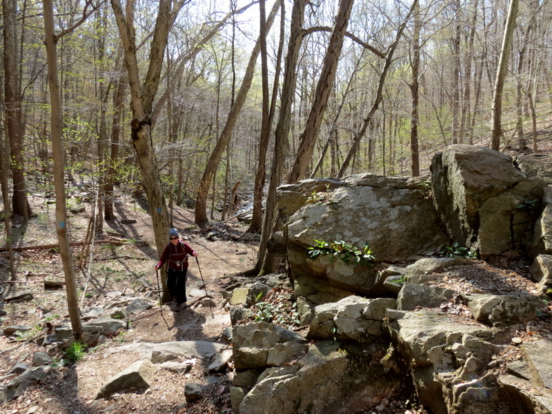
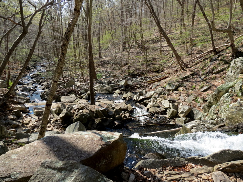
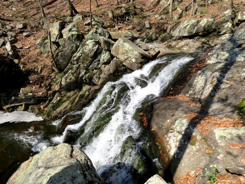
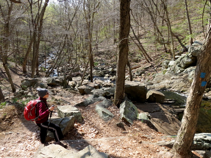
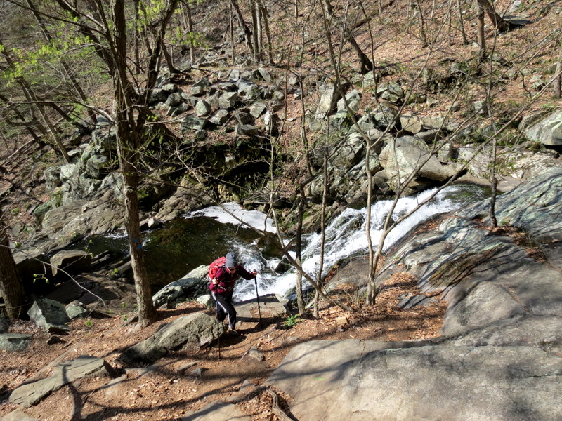
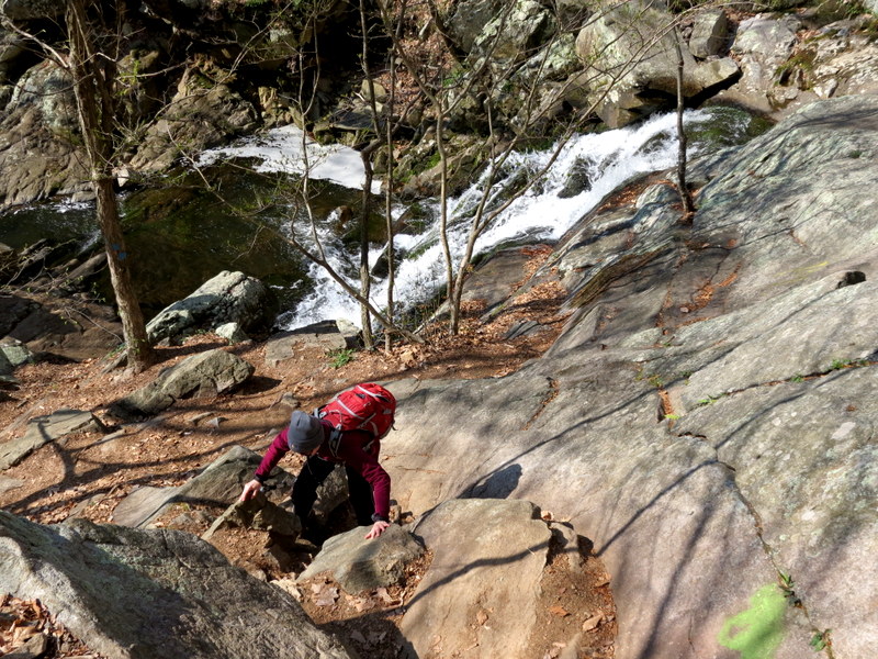
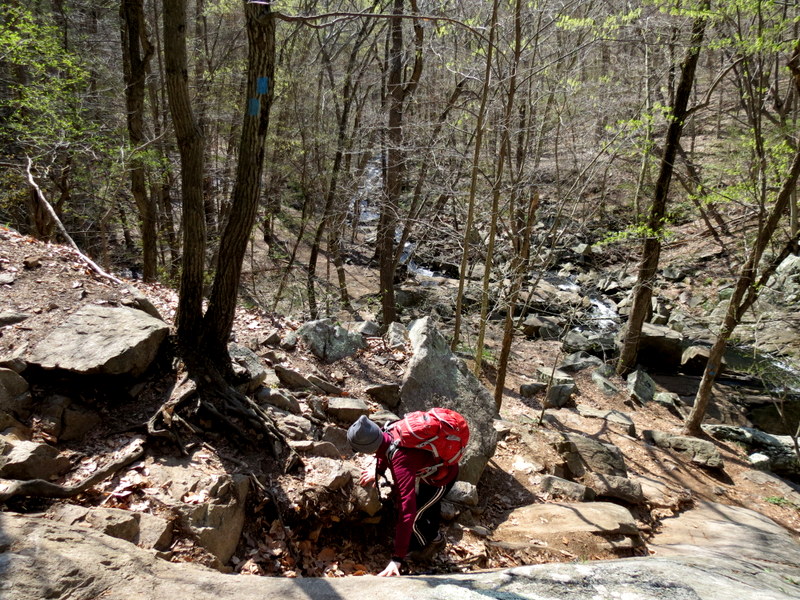
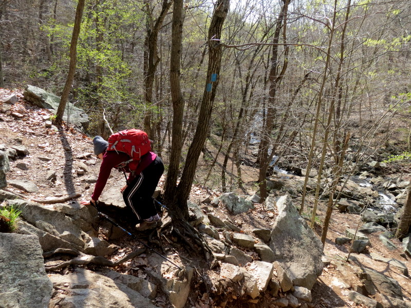
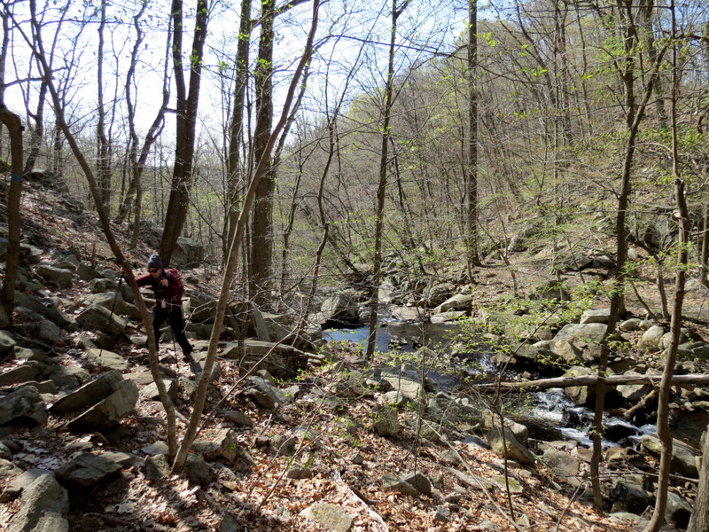
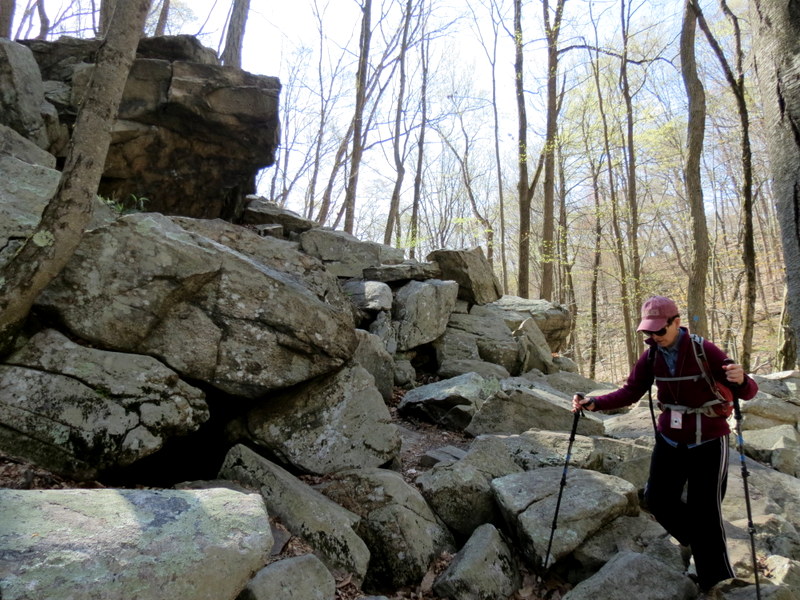
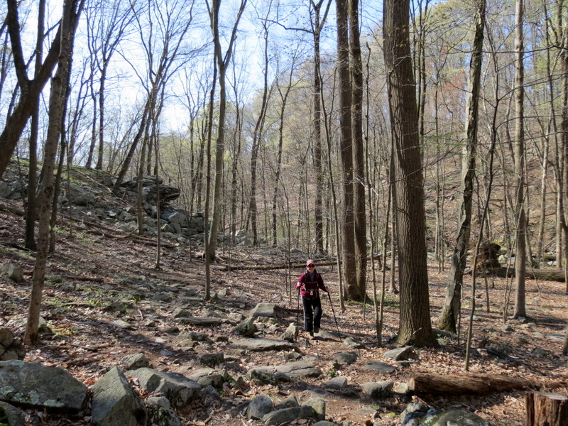
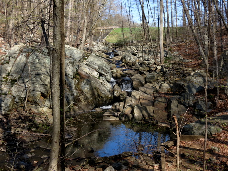
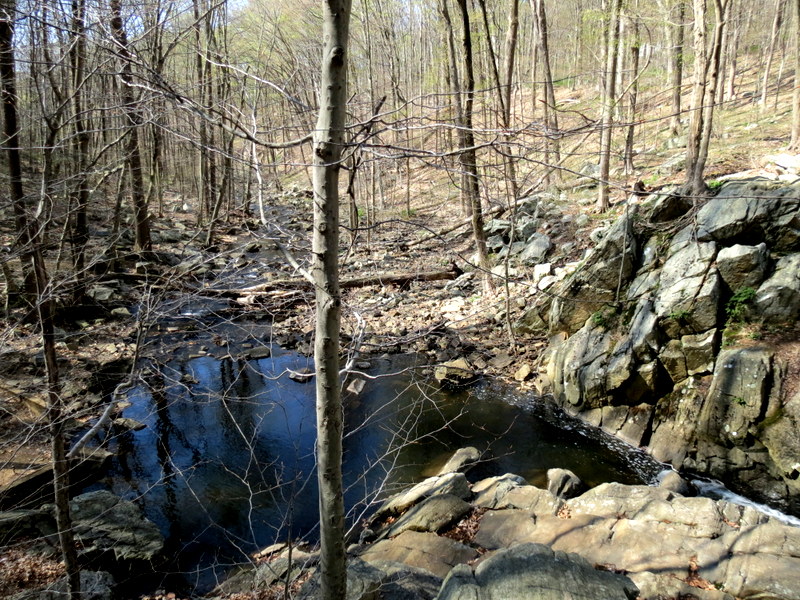
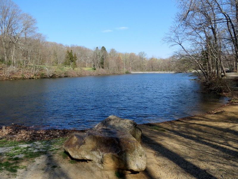
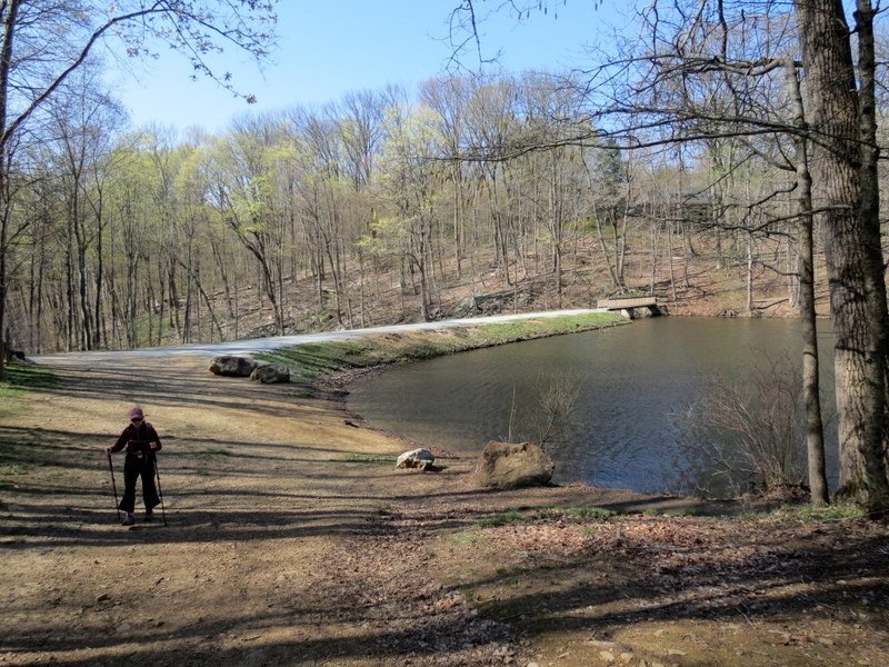
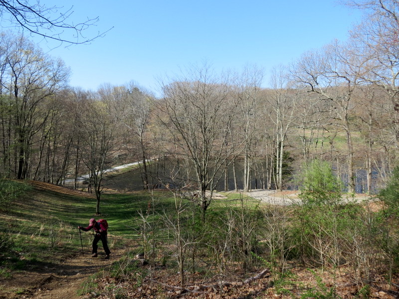
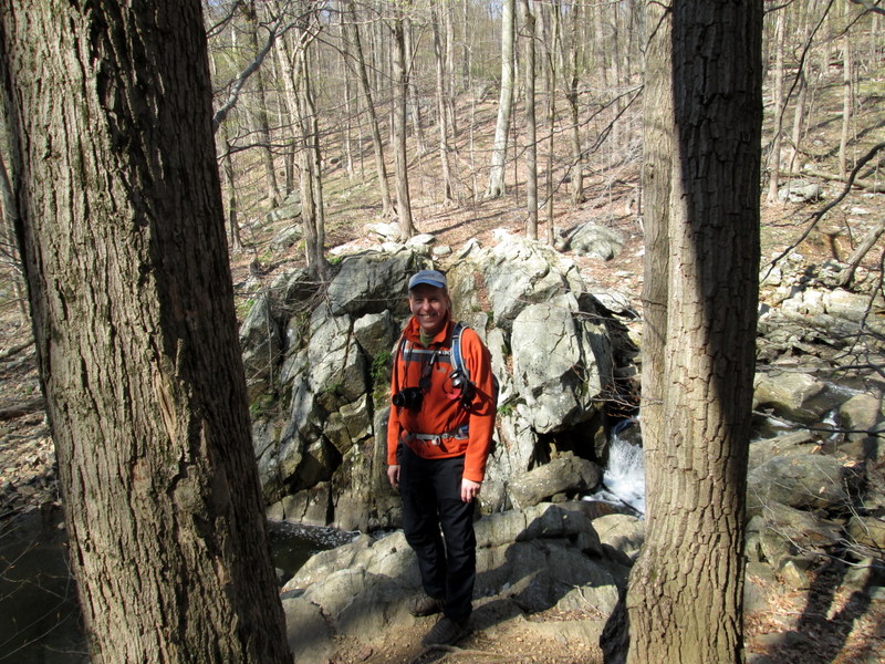
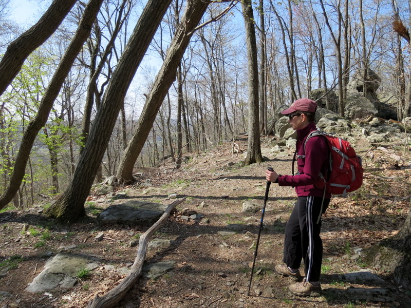
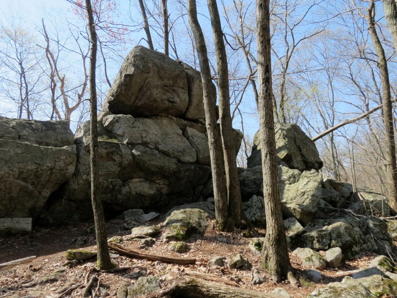
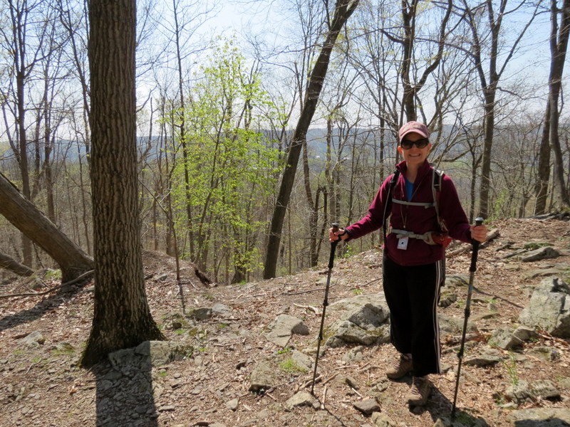
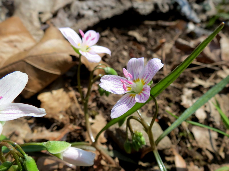
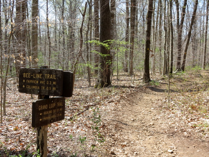
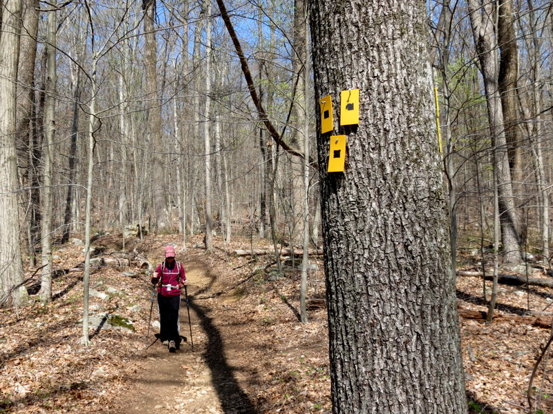
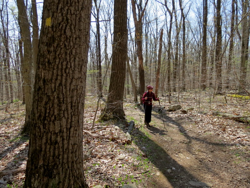
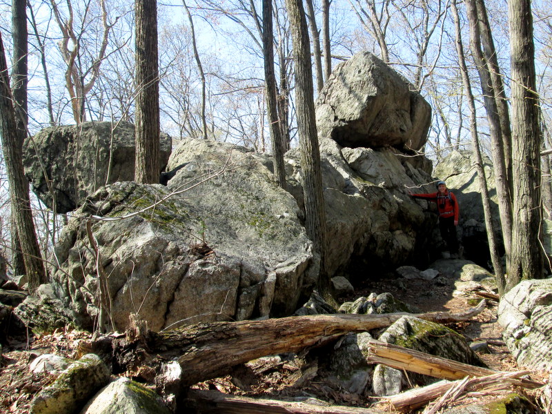
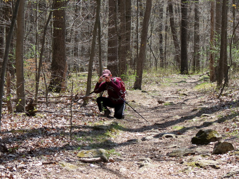
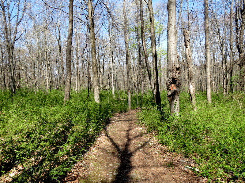
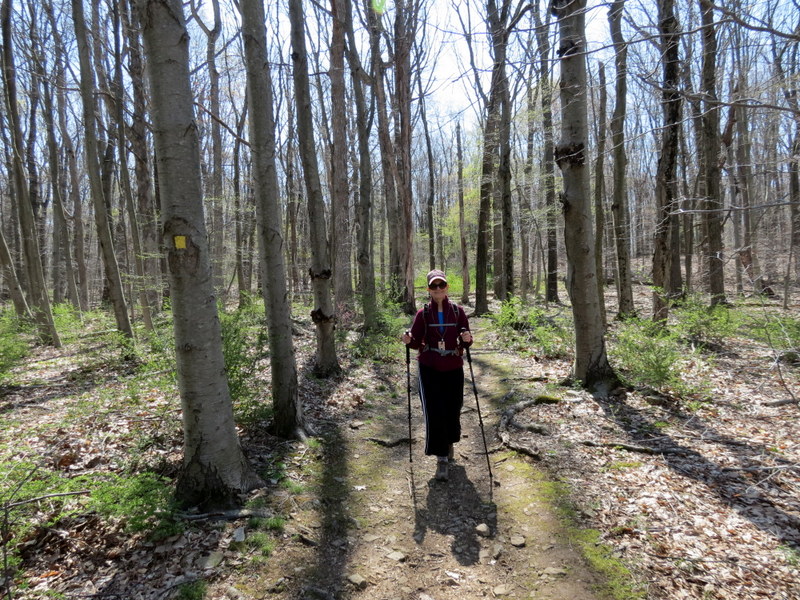
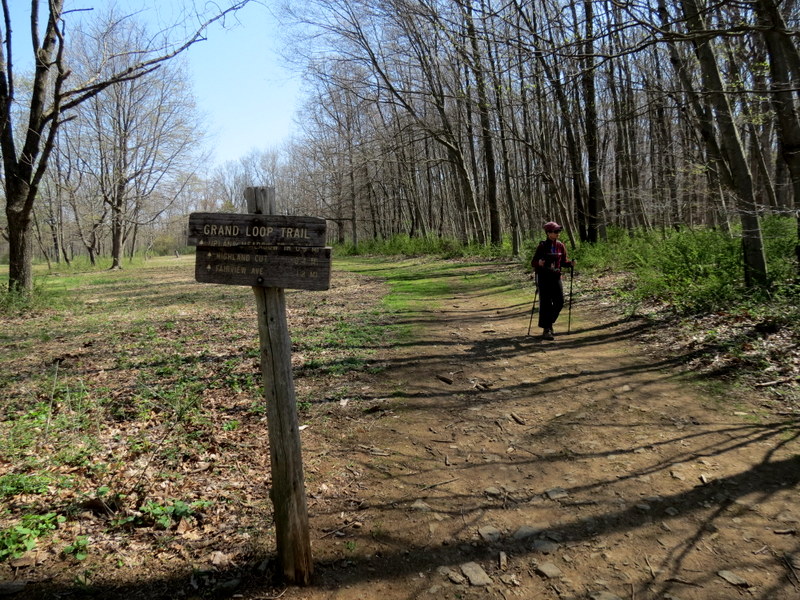
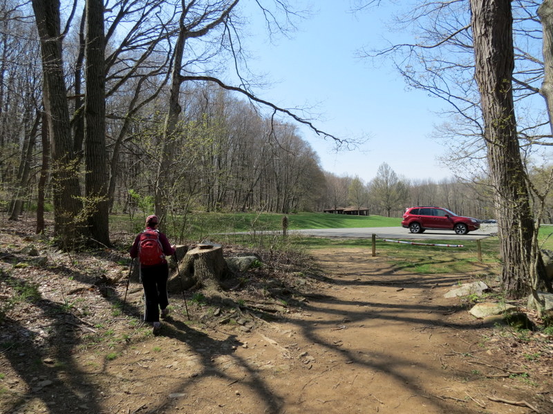
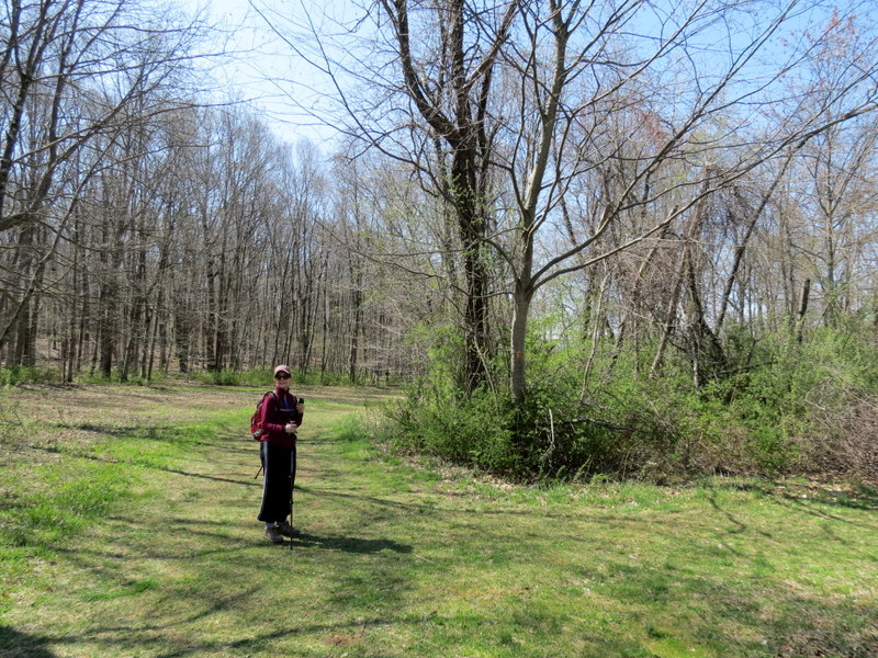
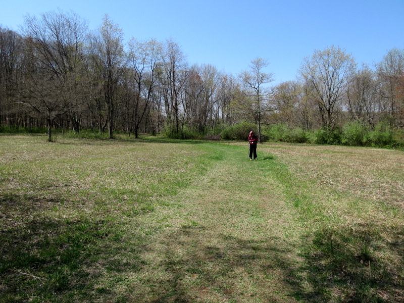
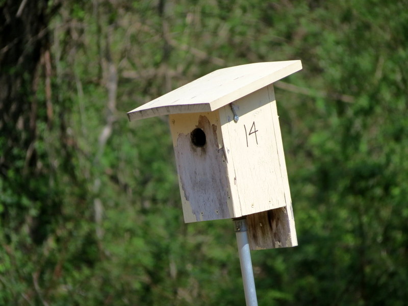
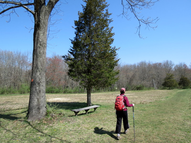
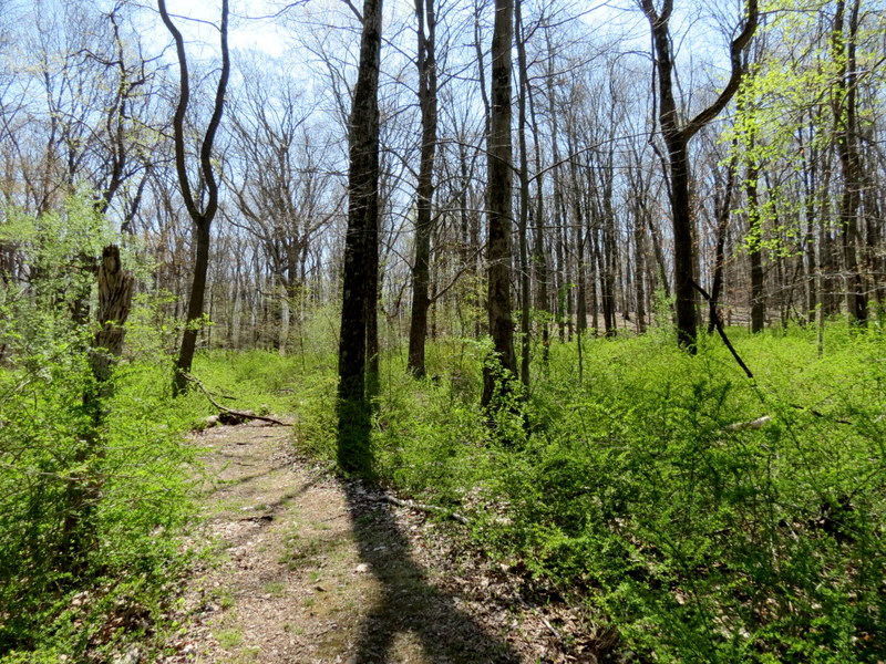
Using this map, we parked in in the southern-most lot of the four near the Play Field, and headed south on White. To continue on White we made a right and then a quick left, eventually reaching the Overlook (indicated by the star on the map), where we next turned right and headed west along Blue. We descended to Electric Brook, with some nice waterfalls, eventually climbing back to the area south of the dam. Here we headed up the hill east, back to White, which we passed, arriving at Yellow, further east. We then took Yellow in a counter-clockwise direction all the way back the eastern-most cluster of parking lots. We next headed north on Orange, through an open field, back to Yellow, and repeated that segment of Yellow back to the parking lots, walking along the grass back to our car at the southern-most lot. Total distance was 4 miles in just under 2.5 hours.
|
 |
 |
 |
 |
 |
 |
 |
 |
 |
 |
 |
 |
 |
 |
 |
 |
 |
 |
 |
 |
 |
 |
 |
 |
 |
 |
 |
 |
 |
 |
 |
 |
 |
 |
 |
 |
 |
 |
 |
 |
 |
 |
 |
 |
 |
 |
 |
 |
 |
 |
 |
 |
 |
 |
 |
 |

|
|
Photographs and content copyright © Dan Balogh Web design by Dan Balogh |